2017 Storm Chases
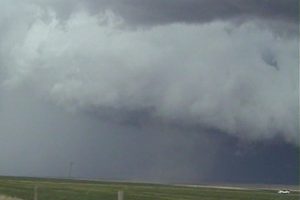
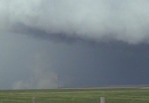
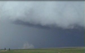
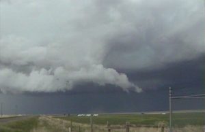
The 2017 chase season was disappointing, probably my worse chase season since 2007. My chase vacation had 2 marginal days on the high plains of CO and western KS. The big day on May 27th turned out to be a dud. I had to work on the good days of Jun 10th across northeast CO/southeast WY and western NE, and June 27th in Iowa. I found 2017 offered very few good chase days in the plains. I guess you expect a down year after having great chase seasons from 2008 through 2016.
March 26:
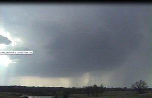
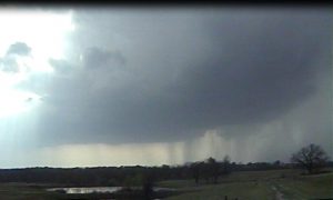
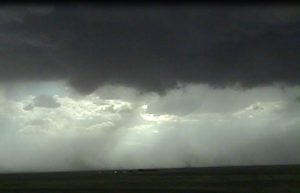
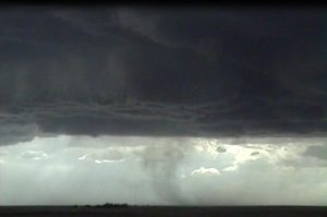
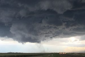
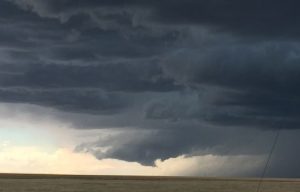
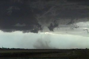
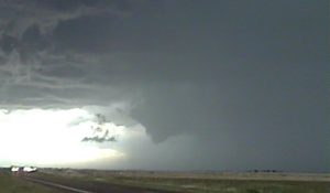
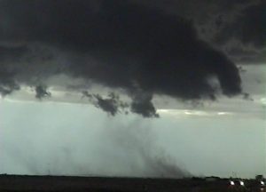
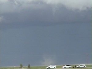
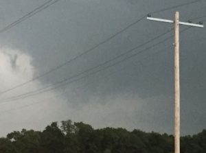
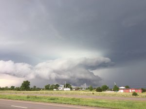
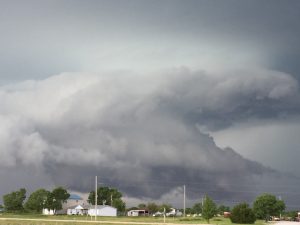
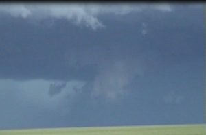
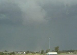
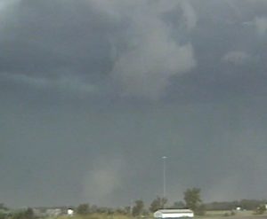
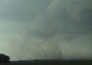
Chased a supercell that developed west of I-35 about 30 miles west-southwest of Wynnewood, OK. This day had decent vertical windshear along the dryline but the deeper moisture return was not as robust as I had hoped. The supercell had fairly good structure but base was a bit high. As the storm moved into somewhat deeper moisture east of I-35 it developed a nice lowering that had weak rotation. The storm seem to go through several occlusion as it moved east-northeast towards Ada, OK. From the south side of Ada we saw a funnel cloud that briefly touched down. I had no time to get out to take video of this tornado. We went north to try to cut back east of the storm but got caught up in the core and could not see the 2nd tornado. Overall, not a bad chase to start off 2017.
Chased with Nancy.
1 supercell.
1 tornado.
_____________________________________________________________
May 18:
This was a marginal day with weak low-level vertical windshear and moderate instability. A storm went up west of Council Grove along an east-west orientated outflow boundary. Chased this storm north of Council Grove and saw a few weak funnels. I was hoping this storm would move along the OFB, but this storm moved north of the OFB and became a big HP storm as it went through Topeka. I went west to intercept a nice squall line west of MHK that had a meso-vortice on the north side. I was working a midnight shift, so I left at 930 PM to get ready to head into work.
Chased alone
2 supercells.
_____________________________________________________________
May 25:
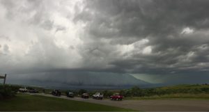
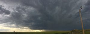
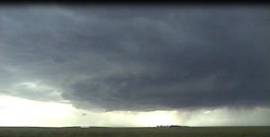
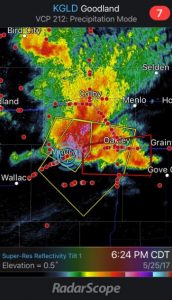
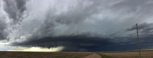
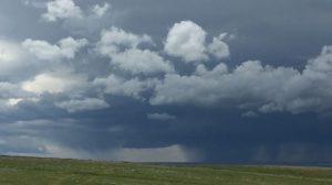
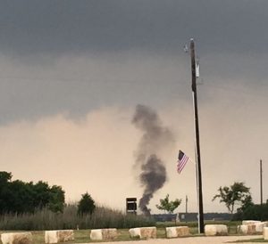
This was the first day of my chase vacation. Limited moisture return made this day quite marginal even though the vertical windshear was good. We intercepted a supercell west of Goodland, KS and followed it southeast. Tried to stay ahead of the this storm but got lost on some of the dirt roads and had a taste of the core. Luckily we were far enough south to remain out of the giant hail, though we probably got a few golf balls and some 60 mph wind gusts. We waited the core out and then got behind this big HP storm. Seen quite a few gustnadoes that some chasers reported as tornadoes.
Chased with Nancy.
1 supercell plus several gustnadoes.
_____________________________________________________________
May 26:
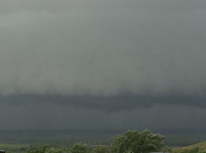
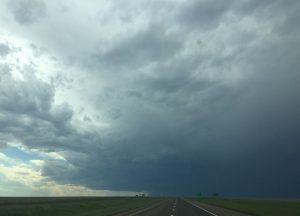
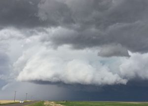
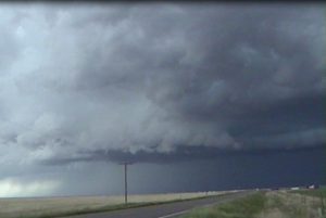
The storms overnight kept the high plains moisture starved. The vertical windshear was good and if there were upper 50 dewpoints instead of lower 50 dewpoints we may have had some good tornadoes. In Limon, CO, I met up with my former NWS TOP co-workers and friends, Dennis Cavanagh, Jared Leighton and Josh Boustead. I got to see Barb as well. We headed north to Last Chance, CO and watch a storm come off the foot hills to the north of Last Chance. This supercell produced a gustnado along the RFD that was reported as a tornado. Dirt under the wall cloud circulation was also reported as a tornado. We followed this storm east-southeast as it turned into a big shelf cloud. An anti-cylconic gustnado along the gust front was also reported as a tornado. I counted 3 fakenadoes that were counted in the SPC log and storm data. It seems like a lot of chasers are now reporting gustnadoes and dust swirls under wall clouds as tornadoes. If I did this in my chasing career, I would have observed thousands of tornadoes over my 30 year chasing career.
Chased with Nancy. Day 2 of our chase vacation.
1 supercell, several gustnadoes and 1 dust blob.
_____________________________________________________________
May 27:
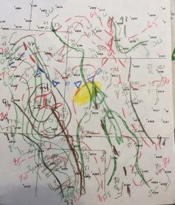
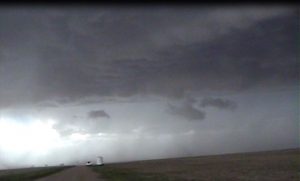
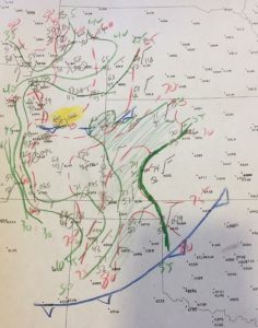
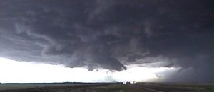
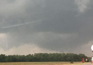
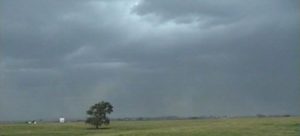
I thought this day had the best potential during my chase vacation. It was a complex forecast with good vertical windshear and instability extending from southeast Kansas, south-southwest into north TX. I had two forecast areas and was kind of torn between them. The first would be across northeast OK ahead of a surface cold front. The CAP looked strong enough that discrete supercell should have developed along the front but was worried about the surface winds veering ahead of the surface front which would limit the tornado potential. The second area was south central OK where the dry line was progged to move east to I-35 providing enough convergence to break the CAP. After waiting for several hours north of Pauls Valley, OK I got concerned that the CAP would not break along the dryline, so I drifted north to near Shawnee, OK in case I could catch a tail end supercell west of Tulsa. While south of Shawnee, I noticed a storm developing northwest of Ardmore, so we blasted south and got on the storm as it moved east-northest across I-35. Another storm developed farther north near Davis and looked good but we stuck to the southern storm. We followed this supercell east-northeast across southern OK from Mannsville to Ravia. There were a lot of chasers on this storm and it was moving through a poor road network where a bridge was under construction only allowing for one way traffic. We observed a rotating wall cloud and a couple of funnels. The low-level meso kept getting occluded and once it was dark we stopped chasing through the jungles of southeast OK.
Chased with Nancy.
2 supercells.
_____________________________________________________________
May 28:
This was quit a marginal day and we chased it since Nancy wanted to visit the fixer uppers silo in Waco, TX the next day. A supercell like storm did develop east of Temple and we followed it east for about 90 minutes. It produced a wall cloud that was slowly rotating. As we drove back to Waco a sqaul line developed with some higher wind gusts along the front.
Supercell: 1
Tornado: 0
Chased with Nancy.
______________________________________________________________
May 31:
I was sick with some virus and had a temperature of 103 degrees. We were on our way back to Topeka when we intercepted an HP supercell thunderstorm west of El Dorado, KS. We followed it east of El Dorado until we headed north to Cassiday, KS, then went home to Topeka.
Supercell: 1
Tornado: 0
Chased with Nancy.
_______________________________________________________
June 13:
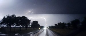
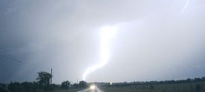
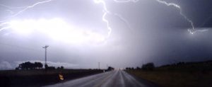
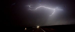
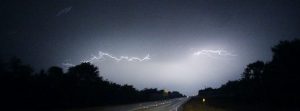
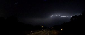
Overall vertical windshear and instability looked good enough for supercells. T/Td spreads got a bit high across northern NE and south central SD. I tried to stay farther north but did not leave in time to play the warm front across northeast SD. I did intercept two supercell thunderstorms before a line of storms formed. Stayed out ahead of the line of storms and got to see several gustnadoes just south of I-94 and west of Mitchel. I did see some nice lightening strikes on the drive home through eastern NE.
Supercells: 2
Tornadoes: 0
Gustnadoes: 7
Chased alone.
______________________________________________________
Supercells 11.
Tornadoes 1.
Bill’s total tornadoes 183.

