May 7, 2016:
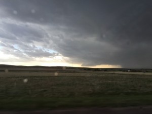
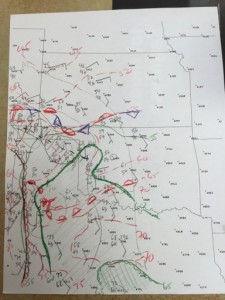
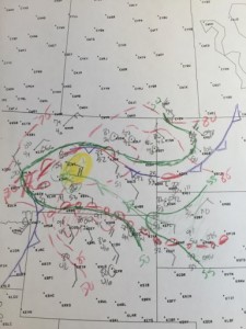
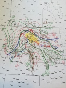
This was a classic upslope day across eastern CO. We played along and just north of a surface boundary. I was worried the moisture advecting west into eastern CO was not rich enough. 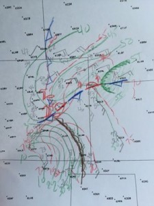
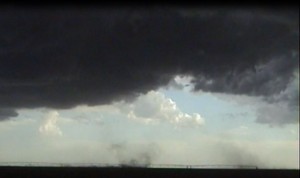
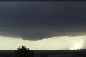
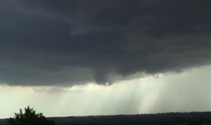
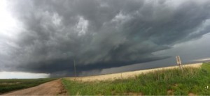
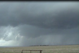
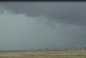
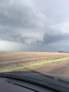
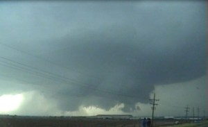
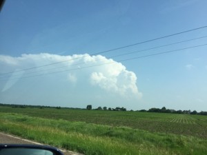
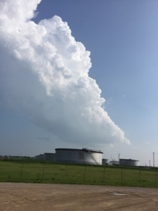
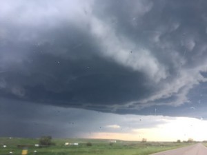
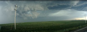
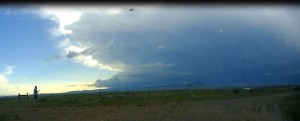
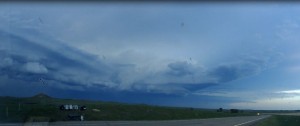
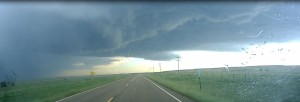
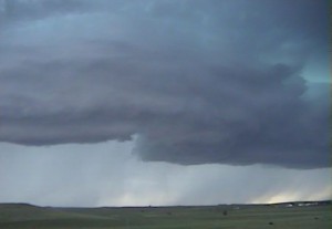
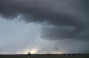
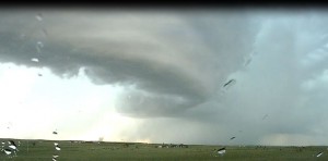
W decided to play just northeast of the surface low. My target storm developed as we arrived and was initially moving north. We let the storm head to us since it was still in its organizing stage. I could easily see under its base as the storm approached.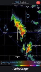
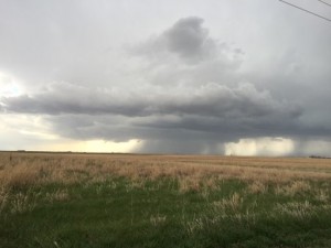
The storm that was developing to the southeast of our first target storm started to look better with a lower base, so we decided to target this new supercell.
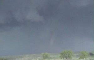
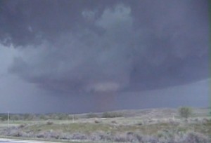
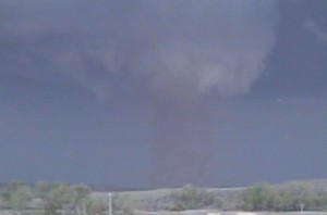
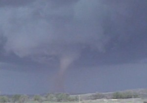
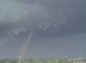
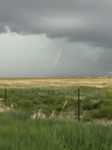
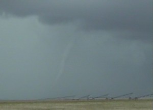
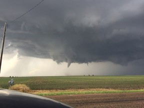
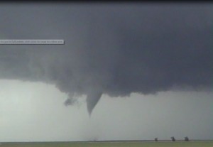
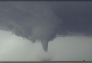
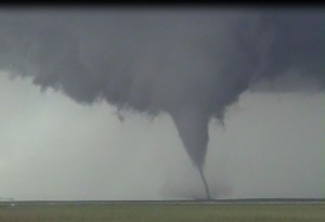
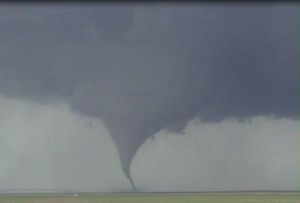
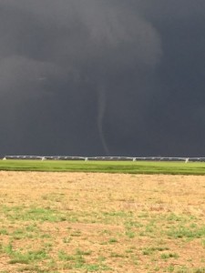
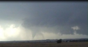
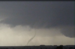
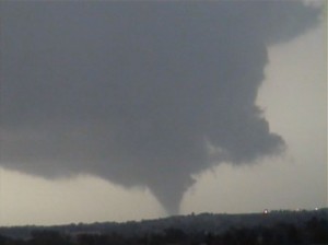
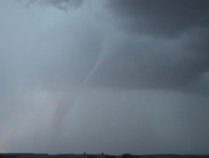
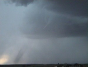
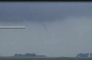
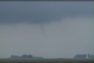
Just as we left our first storm, I noticed something out my rear-view mirror, a tornado from the storm we were leaving.
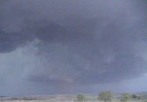
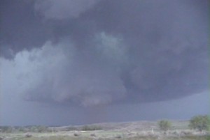
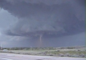
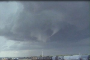
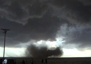
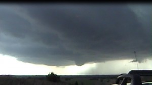
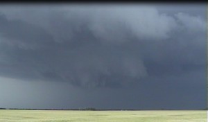
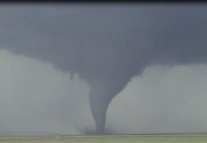
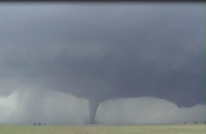
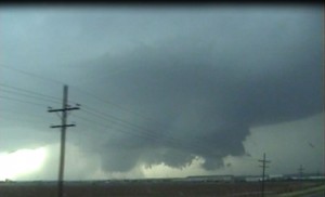
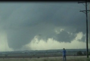
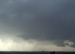
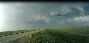
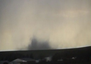
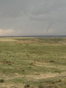 This tornado lasted about 6 minutes before it roped out. The contrast was poor. This storm was moving into a big road hole so we stuck to our new target storm about 20 miles south-southwest of us. As we approached our new target storm about 10 miles south-southwest of Wray, it produced a big dusty tornado to our south.
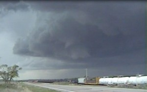
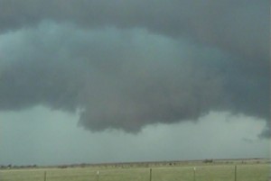
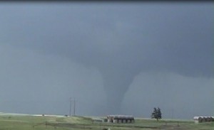
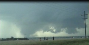
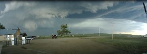
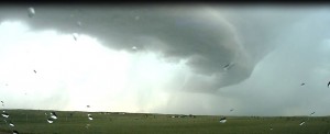
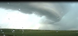
The updraft chased us back north to Wray and we decided to stop just east of Wray to watch this storm. It may have been better to head north and just stay ahead of the tornadic supercell due to better contrast. Also, heading east there was a ridge to our north that was blocking part of our view. But the tornado looked nice, along with the storm structure. There were no north options to get closer to the east of Wray, and may have been another reason we should have went north of Wray.
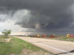 There was actually a weak tornado that moved west of Wray on the occluded updrfat to the west of the updraft in the foreground that the RFD was beginning to cleft out. We watch the storm move to our north-northeast then headed to spend the night in Colby. Overall a fun chase where we got to see 3 supercell thunderstorms and 4 tornadoes.
Chased with Nancy.
3 Supercells.
3 Tornadoes.
_______________________________________________________________
May 8, 2016:
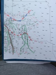
We left Colby in the morning for my target areas of Southwest, KS. Decided to play the triple point this afternoon. Vertical windshear was good but moisture return was a bit limited for the lower plains. 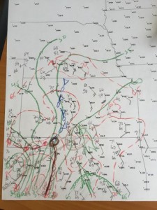
After sitting in Coldwater, KS for a few hours I did another surface map and decided to go after TCU along the dryline south of the OK border.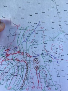
A higher based supercell developed southeast of Ft. Supply, OK and we followed this storm east. 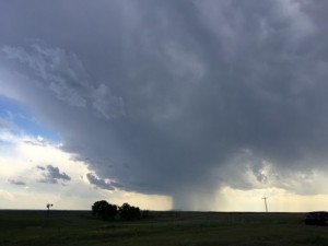
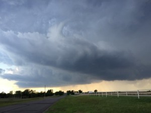
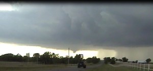
Eventually the base got lower as it moved east into deeper moisture. It had a slowly rotating wall cloud near Freedom, OK.
The storm slowly weakened near sunset, so we headed to Wichita, KS to spend the night at Nancy’s parents house. About 30 miles southwest of Wichita and deer jumped out in front and totaled my Santa Fe. I tried renting a car after meeting with the insurance agent but there were no rental available from ICT. Ended up missing out on the Sulpur, OK supercell and tornadoes.
Chased with Nancy.
Supercell: 1.
Tornadoes: 0.
_______________________________________________________________
May 16, 2016:
We left Nancy’s parents house in the morning and had lunch in liberal. I did surface analysis to fine tune my forecast area to the western OK Panhandle or northeast NM.
We stopped in Boise City for another surface analysis at 20Z.
I was a bit worried about the lack of deep moisture return and higher T-Td depressions that would potentially cause higher based outflow dominate storms. Eventually we got on a storm in northeast NM that became a nice supercell.
The base began to lower as this storm moved into the western OK Panhandle and had a nice wall cloud with rotation.
Due to a lack of road options we could not stay close to the updraft and had to go south, then east, and northeast to catch back up with the updraft. As we were within 3 miles of the updraft we got to see a tornado.
The tornado then roped out after about 3 minute life cycle.
Our storm became more of an HP supercell, so we target a storm farther south in the northwest TX Panhandle. We got down to northeast of Dalhart, TX and just to our west we got to see a truncated cone tornado.
Chased with Nancy.
Supercells: 2
Tornadoes: 2
____________________________________________
May 24, 2016:
I had the day off of work and decided to chase. My forecast areas was southwest KS to the Oklahoma Panhandle along a stationary front and ahead of a surface dryline. Both the instability and vertical windshear were sufficient for tornadic supercells. Stopped in Alva, OK to complete surface analysis. Look like a fairly broad area to chase. 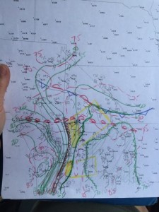
I thought storms would develop along the dryline and triple point and move northeast into a more favorable environment. We sat along the KS and OK border, north of Forgan for a few hours watching turkey towers go up to our northwest, west and southwest. Finally a storm went up to our north-northeast, so we followed it north to east of Meade, KS. At first it looked like an elevated storm 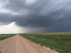
and I could see another intense storm develop to my southwest near Liberal and for a few minutes was thinking about leaving this storm but I liked the environment better to my north since T/Td depressions were lower. So we kept up with our target storm and after about 20 minutes the storm got a much lower base with a rotating wall cloud northwest of Minneola, KS.
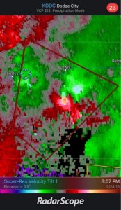
In about 5 minutes we got a nice tornado to develop in front of us.
We took a dirt road north to get to the second tornado but the road became so muddy we had turnaround to the paved go west to another pave road then head north and go east. We got to see the 2nd tornado from a distance but got closer as it roped out.
All the north dirt road were muddy and I did want to get stuck so we drove east to HWY 283. This highway was just filled with 100s of chasers. It was a chaser convergence mess and I wish I could have stayed on the back roads. We did get to see a nice large tornado that roped out to our north, southwest of DDC.
The Fourth tornado developed on a new meso on the east side of the large supercell.
A left mover came up from the south and crashed into our original supercell and caused it to be an HP mess. We targeted a second supercell east of DDC. There were no south options and the low-level meso was right along highway 50. Eventually, this supercell weakened and we made it back to Wichita.
Chased with Nancy.
Supercells: 2.
Tornadoes: 4.
_____________________________________________________________
May 25, 2016:
Nancy had a doctor’s appointment early the next morning in Wichita and I really did not want to go far. I suppose if I did not have to take Nancy to her doctors appointment early the next morning, I would have probably targeted an area northwest of Salina. Though, I thought every where ahead of the dryline had a decent chance of seeing supercells with a few tornadoes. I did not expect the evironment up near the triple point to improve so drastically to produce an intense supercell thunderstorm with a long lived cyclic large tornadoes. So, I stayed just east and south of ICT and chased a couple storms that looked to be elevated above the CAP. When we gave up on our chase south of Wichita, we could see the huge supercell to our north-northeast over Dickinson County.
Chased with Nancy.
Supercell: The last LP storm has some mid-level rotation for about 45 minutes, so 1.
Tornadoes: 0.
_______________________________________________________________
May 26, 2016:
The main upper trough was moving out into the high plains during the morning and the stronger ascent caused lines of elevated storms to develop. The atmosphere never recovered for good supercell and tornadoes to develop along the dryline/pacific front.
After Nancy’s doctor appointment we went out to observe some of these storms west of Wichita. 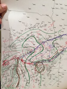
We sat east of Pratt and watched a storm develop to our south, then drove west of Kingman to let the storm pass to our northwest. This storm has mid-level rotation but was more of an outflowish HP supercell.
Chased with Nancy.
Supercell: 1.
tornado: 0.
_______________________________________________________________
June 10, 2016:
We targeted east central MT with some weak upslope and decent vertical windshear.
We got on a nice supercell near Lewistown and followed it east-northeast. It may have had a brief tornado but it seem to be wrapped up in the rain and dust. The RFD had kicked up a lot of dust just to our north.
We left this storm and got on a second supercell to our southwest.
Chased with Nancy.
Supercells: 2.
Tornadoes: 0.
_______________________________________________________________
June 11, 2016:get areas
We stayed in Miles City, MT and I got a lot of time to look at data. Uplsope is rather weak in eastern MT due to the lower elevation. I thought we needed better moisture return. My target area was to follow storms developing along the dryline across northeast WY into southeast MT.
We sat west of Baker watching an anticyclonic supercell move northward towards Miles, MT, that quite a few chasers went after. Eventually some isolated updrafts developed south-southwest of Baker. One of the updrafts intensified into a supercell. The base was high but as it moved north towards Baker. It produced a brief tornado 5 miles south of Baker, then produced a tornado to the south of Baker that moved into the south side of town before it roped out.
Chased with Nancy.
Supercells: 2
Tornadoes: 2
_____________________________________________________________
June 13, 2016:
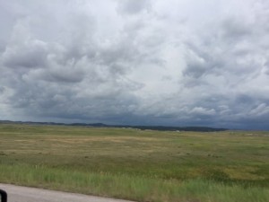
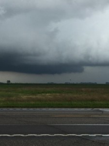
Car breaks went out when we got to Bowman, SD. We stayed Sunday 6/12 but rented a car to continue our chase vacation early on 6/13. We looked at a developing Squall line across northwest SD but went south to the Black Hills where couple of supercells developed. We headed south into NE and watch one nice storm ride along the NE/SD border. We ended driving to Kearney, NE
Chased with Nancy.
Supercell: 2
Tornadoes: 0.
_______________________________________________________________
June 14, 2016:
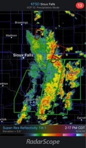
Started out too late from Kearney and could not make it north to get northeast of the SFC low across northeast SD.
Missed some good low top tornadic supercells. We did catch a storm in western MN that produced a funnel cloud but no tornado.
Supercells 2:
Tornadoes: 0.
_______________________________________________________________
Tornadoes: 11
Supercells: 18
Bill’s Tornadoes: 182.
Nancy’s tornadoes: 62.

