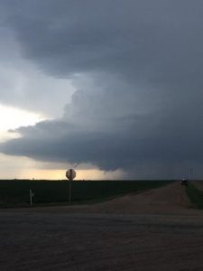
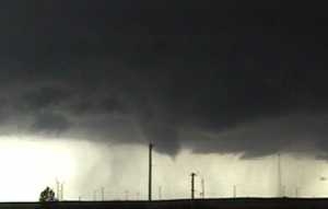
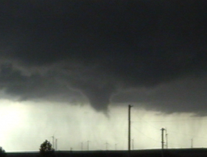
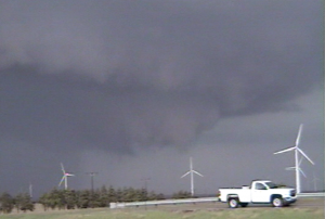
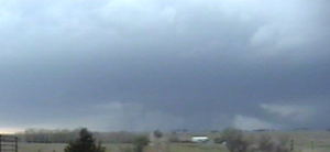
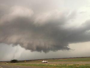
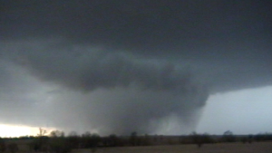
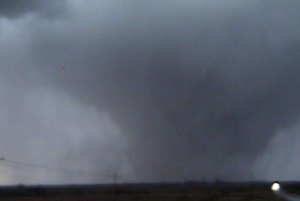
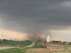
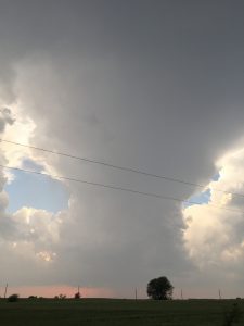
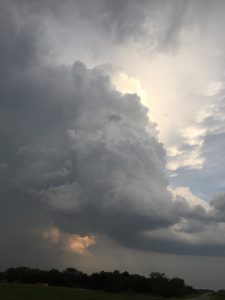
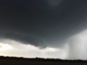
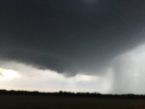
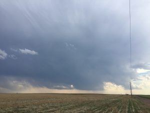
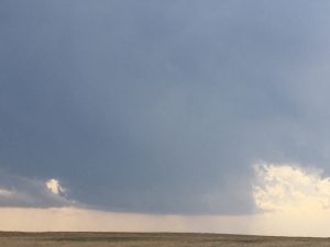
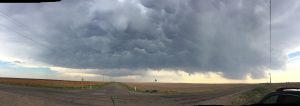
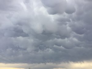
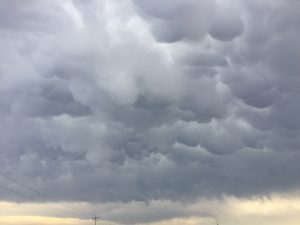
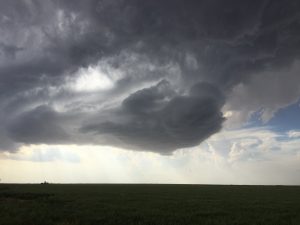
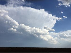
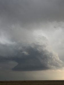
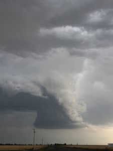
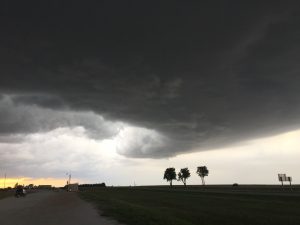
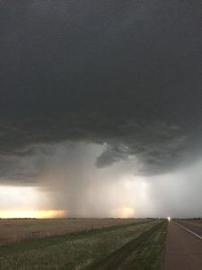
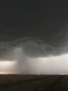
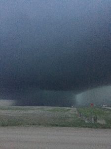
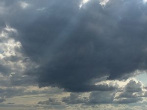
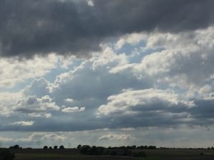
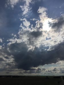
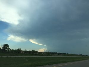
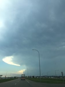
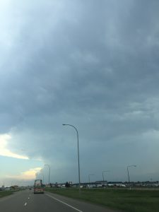
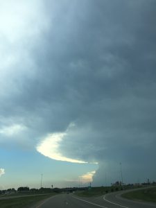
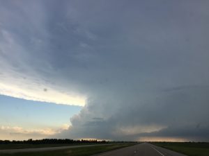
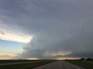
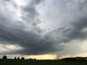
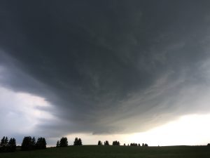
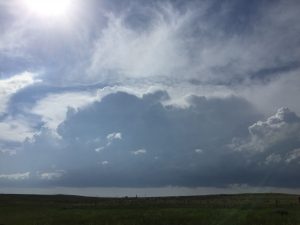
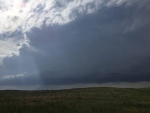
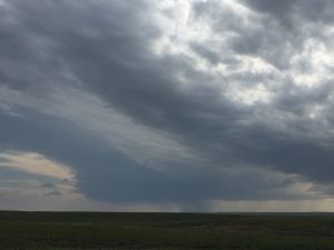
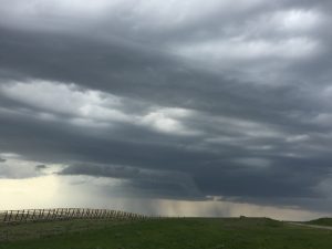
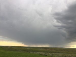
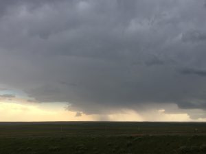
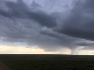
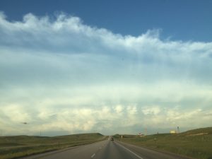
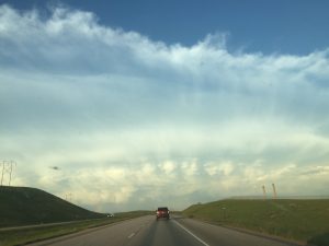
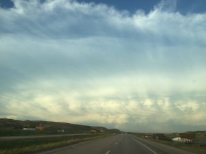
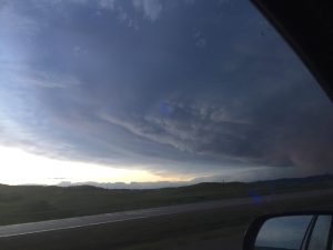
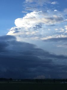
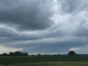
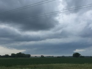
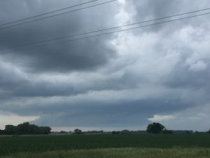
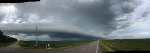
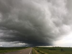
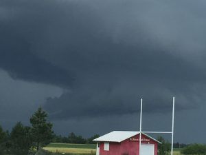
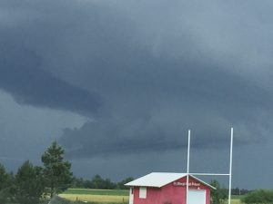
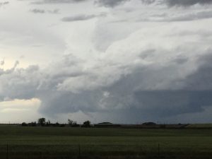
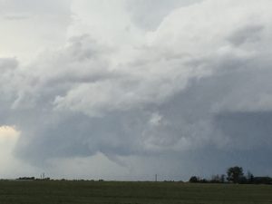
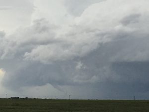
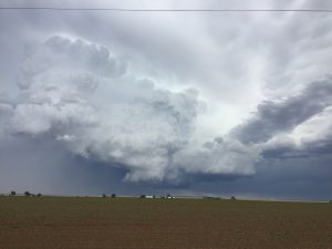
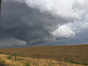
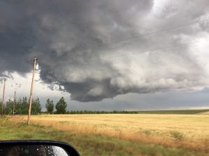
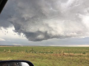
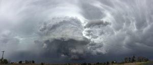
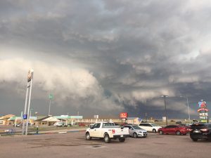
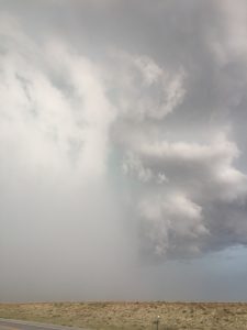
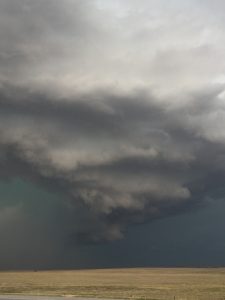
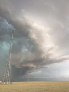
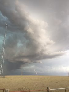
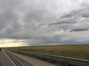
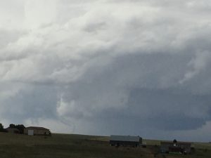
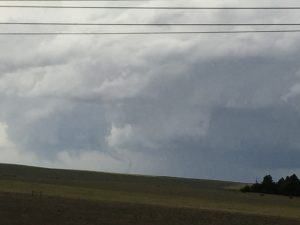
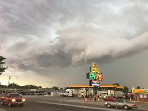
The 2018 season got off to a slow start. My first chase on May 1st, was my best storm chase, followed closely by an east-central CO chase on June 19, during my chase vacation. There were other nice storms during my chase vacation in mid to late June.
______________________________________________________________
May 1:
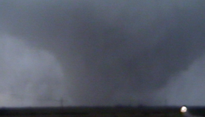
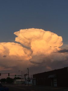
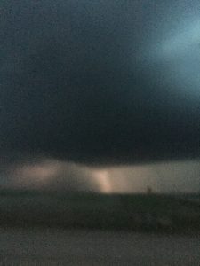
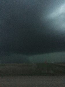
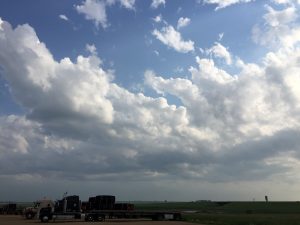
After work at 2 PM, I left for home and picked up Nancy and my chase gear. We headed for my target area west of SLN. A storm already developed by Hoisington, KS by the time we got to Abilene, KS on I-70. We made this our target storm and intercepted the supercell northwest of Hollyrood, KS.
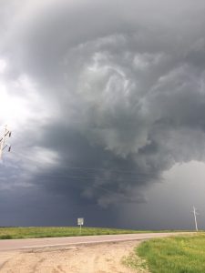
This classic supercell morphed into an HP supercell as it tracked east-northeast towards Ellseworth, KS. We did see a funnel that produced a brief tornado out ahead of the main rain-wrapped low-level mesocyclone.
Once again, the supercell trended towards the HP spectrum and I was starting to get worried since the supercell was moving east into a much better environment with higher MLCAPE and improving low-level vertical wind-shear,
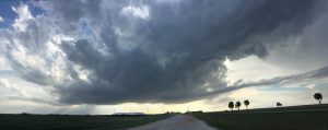
Finally as the storm moved into southwest Ottawa County, the storm began to take on more of a classic supercell look with a wall cloud that was not longer hidden by rain and hail.
Shortly after a large tornado that was a bit wrapped in rain finally became more visible as it moved east-northeast about 7 miles southwest of Tescott, KS.
After an occlusion, a second larger tornado developed south and moved east of Tescott, KS.
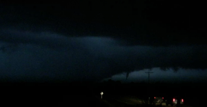
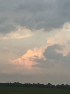
We followed the storm northeast and it kept occluding new higher based low-level mesocyclones to the southeast. We were about to call it quits after dark but kept up with the storm as it moved into Clay County. We stopped north of Longford and watched the storm pass northeast, about 5 miles north our our position. There may have been a large rain-wrapped tornado but we did get to see a smaller tornado that developed east of the main rain-wrapped low-level mesocyclone.
We could not determine if there was a larger tornado wrapped up in the rain just to the left of the smaller tornado. We decided to head head to Wichita, KS to spend the night at Nancy’s parents house.
Chased with Nancy.
1 supercell, 4 tornadoes.
__________________________________________________________
May 2:
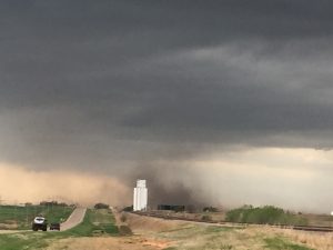
Left Wichita to chase south central/southwest KS into northwest OK. The vertical wind shear was bit weaker but I had the day off and it looked like there was enough vertical windshear for some interesting storms and possibly an isolated tornado. We intercepted a higher based supercell along the KS and Oklahoma border near Hardiner, KS. The supercell produced a big gustnado or a landspout type tornado. It looked like there was a rotation nub funnel/wall cloud about the dust swirl. I could not confirm if this was actually a tornado, May have been a narrow outflow. Of course, I missed tornadoes in the TOP CWA across north central KS.
Chased with Nancy.
1 supercell. 1 big gustnado.
_____________________________________________________________
May 14:
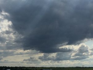
Chased a marginal supercell on our drive to Topeka. Left east out of Wichita and intercepted a marginal supercell storm near Eureka. Took a few pictures then blasted north to Emporia, then back to Topeka.
Chased with Nancy.
1 supercell.
__________________________________________________________
May 17:
I had a 3 day weekend so Nancy and I decided to chase. The set up looked good for supercells but was not too sure if the low-level shear (or curvature in the hodographs) would be suffiencient for supercell storms to produce tornadoes. We got to see a couple high based supercells in the OK Panhandle.
Chased with Nancy.
2 supercells.
_____________________________________________________________
May 18:
This looked to be the most promising day for tornadic supercells. We finally intercepted a supercell near Quinter, KS but it always seem to be a bit high based and outflow dominate.
Chased with Nancy.
1 supercell.
_____________________________________________________________
May 19:
We chased some LP supercells west of Clay center and near Riley. There was not enough instability.
Chased with Nancy.
intercepted a marginal LP supercell.
_______________________________________________________
Start of the 2018 chase vacation:
June 14:
Drove all the way up to Minot, ND following my last Midnight shift. Instability and shear looked adequate for supercells and potentially a few tornadoes.
Chased with Nancy.
2 supercells
______________________________________________________________
June 15:
This was a marginal day and I probably would not have chase if I was not on my chase. We left our hotel near Rapid City, SD and headed west to near Gillette, WY.
_____________________________________________________________
June 16:
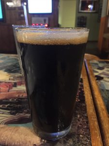
This day had a lot of potential across northeast SD. The instability and low-level wind shear looked very favorable for tornadic supercells. However, the CAP was strong and storms broke out across east central SD where temperatures reached the lower 90s, which caused them to be high based and eventually HP supercells. Watertown has a good dark beer.
_____________________________________________________________
May 17:
The environment consisting both of good vertical windshear and instability looked favorable for supercell and possible tornadoes across north central and central NE.
Chased with Nancy.
Supercells: 2, QLCS: 1.
___________________________________________________________
May 19:
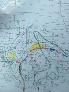
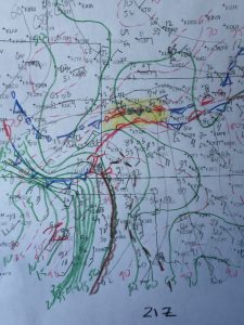
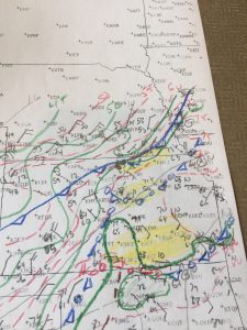
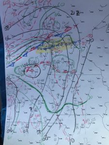
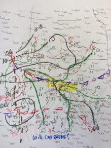
It looked like a good high Plains day, east of the DCZ. I probably made a mistake by taking too long at lunch in GDL to do a surface analysis. This probably cost us from being closer to the Prospect Valley, CO tornado. Once this supercell got down slightly in elevations it weakened. So we targeted a new storm northwest of Deerfield. We got into the core and baseball size hail busted our front windshield.
Chased with Nancy.
Supercells:2
Tornadoes: 1
______________________________________________________________
June 22:
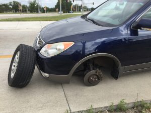
We were headed out to southeast CO to play some high Plains storms. Then around Garden City the front passenger tire was making a bad noise. Stopped by a local mechanic shop and said ti was a bad spindle, and told us to get back to our repair shop in Junction City. We almost made it back but as we were exiting off of I-70 the front tire came off. Actually a storm developed just to our north while we were at the repair shop. We got a loaner car and drove down to Wichita.
_____________________________________________________________
June 23:
I took the loaner car chasing down to southwest OK. If the CAP would have broken farther east we would have had a tornadic supercell. Oh well it did not quite break, came close. A high based supercell developed out by fredrick, OK but I did not want to head another couple hours to the west as it was getting dark. I don’t think I missed much. I headed back home and did not chase the next couple of marginal days and
chased alone
supercell: 0
____________________________________________________
15 supercells.
5 tornadoes.
Bill’s total 188.

