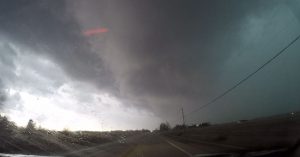
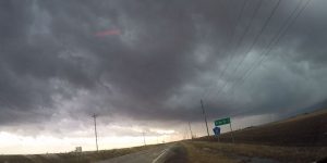
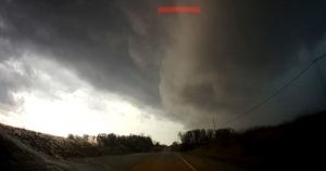
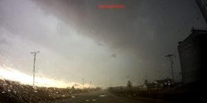
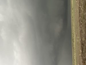
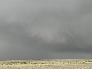
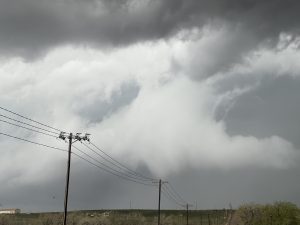
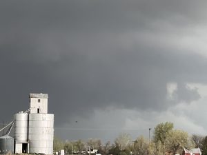
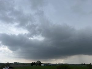
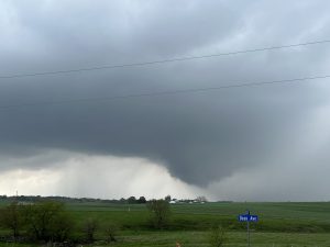
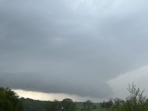
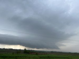
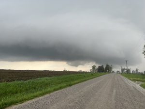
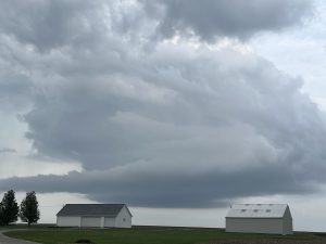
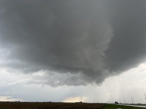
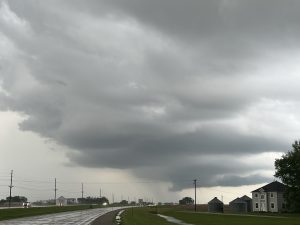
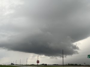
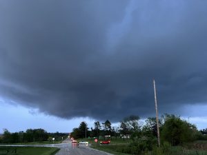
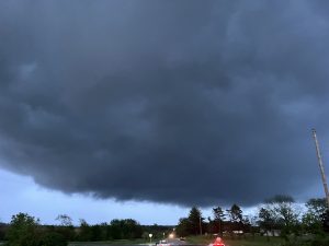
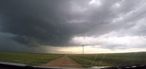
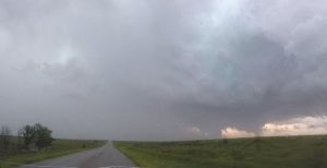
2023 storm chases:
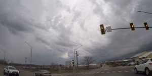
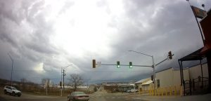
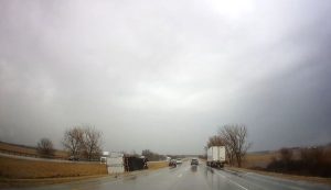
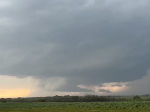
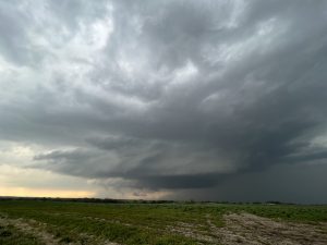
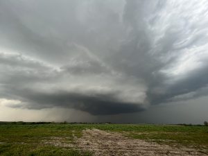
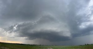
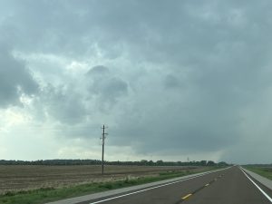
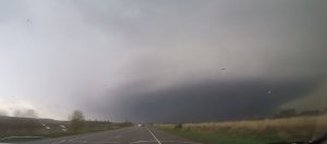
March 30: I was on my way to visit my Mother in Michigan and it happened to be a good day for supercells and perhaps a few tornadoes. I drove to Hanibal, MO and watched an HP looking storm move just to my north. I was not sure if this storm would become more classic, so I stayed around western IL hoping for new development. After a couple hours storms went up to my north so I went to intercept them. Once again they were all HP supercells with the low-level meso’s all being rain-wrapped. I did see a nice storm going up southwest of Kirksville, MO and tried to go west but gut stopped by a draw bridge that wasted an hour waiting for a ship on the MS river to sail by. The nice torandic supercell became an HP storm and got absorbed into a line of storms. I did see another supercell looking storms to my south and went after it but it became an HP supercell. The squall line to my west had turned into QLCS and I got stuck in it in western IL. I had some rotating updrafts passing over me and 80 MPH winds. After it passed I continued my trip to Michigan. Lesson learned, I should have started back in north central MO or I should have stayed up with the the original supercell that produced several tornadoes north of Springfield. 3 supercells, 1 QLCS. 0 tornadoes.
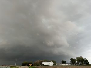
May 6: I chased northwest MO. Intercepted a supercell northwest of King City and followed it east. The frist supercell was outflow dominate and a 2nd supercell developed along the outflow of the first supercell and moved east and nearly produced a tornado west of I-35, near Plattonburg, MO. The storm became HP and I sat on I-35 watching the structure after sunset. I got to see. 2 supercells. Chased alone.
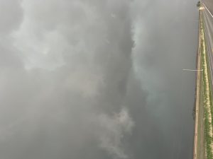
May 7: Chased southwest Iowa. Got on 3 supercells, 2 LPs. Got to see one smokenado. Along the MO river. On my drive back across northeast KS, I intercepted a QLCS before reaching US 75 and drove south of a rotating wall cloud. I only estimated 50 MPH wind gusts, so I tweeted my office of my observations within the main RIJ.
May 10: I chased eastern CO. My initial target was on the north side of a warm front around Fort Morgan. However, there was a lot of cloud cover and I was worried about storms not forming along the warm front. A nice storm went up off the higher terrain south of Denver, so I targeted this storm, and intercepted the storm southeast of Denver. For a while it was a classic supercell that had a nice rotating wall cloud and a few funnels. Then it lost it’s outflow as it moved into lower elevations and the potential T/Td dropped. I followed this HP storm north-northeast to Limon, CO. Missed my good north option, so work my way northeast but a rural highway was closed, so I had to try to head farther east, then i was looking at radar and this storm turned back into a classic with a nice couplet and soon tornado reports due south of Brush. Since the storm was moving more to the north, I had no chance of catching it before dark, so I gave up. All the other showers forming along the warm front were all elevated, So, I called it quits and headed home. My big mistake is that I should have stuck to my forecast area and not have went out of the early storm, which lead to some road mishaps, keeping up with this supercell.. One supercell with 2 funnel clouds. No tornadoes.
May 11: I chased north central OK with friend Bryan Bearg. We played the edge of the deeper moisture and a storm finally developed and was a supercell as it rode the western edge of the deeper moisture. We kind of sat around farther west in case a dryline storm developed but went after the developing supercell. A tornado warning was issued as the storm moved northwest of Guthrie, OK but went off the western edge of the deeper moisture and fell apart right as we got on the storm. New storms went up west of Norman and turned into supercells as the passed east to I-35. We would have went down to intercept them at sunset but Bryan had to get back to pick up his kids from his parents house. One supercell that died on us.
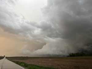
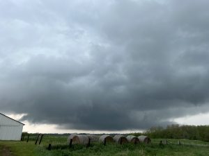
May 12: I left Wichita early because my target area was to play an occluded upper low across north central and east central NE. I made it to Columbus around 230 PM and there was already a tornadic supercell 50 miles to my northwest with reports of a large tornado on the ground. I knew other storms would develop along the occluded front and dry line intersection and one had developed southwest of Columbus and was moving north. I intercepted this storm and it looked like a classic supercell with a rotating wall cloud for a while but as it got northwest of town it became an HP storm. Another storm move north about 7 miles west of town but this storm quickly became an HP. A third supercell developed just southeast of Columbus and had a very tight couplet on radar, so I followed this storm northeast of Columbus but as I got closer to the couplet it was all rain wrapped Another supercells 30 miles to my southeast was producing tornadoes, so I went east to intercept this supercell. I did get in front of this tornadic supercell to see a large barrel tornado to my southwest but this tornado became rain-wrapped very rapdily. I got see a satellite anticyclonic tornado to my south but it dissipated after a minute or two. I wish my initial supercells would have produced tornadoes around Columbus. My only guess is too many storms when up at once causing these storms to become HP. Chased alone. 4 supercells and 2 tornadoes.
May 13: Chased south central Iowa. I was north of Des Moines, IA thinking of playing the occluded front by Storm Lake. However, a nice supercell went up south of DMX and the parameters across south central IA looked good. So I target this storm southeast of DMX. The storm had good structure but was outflow dominant even though it had a tornado warning. New storms went up farther southwest, so I went after these storms and ended up chasing several supercellls northeast and southeast of Lake Red Rock. Between Knoxville and Harvey. Most of it look to be scud but I did wee one meso kick up dirt with a funnel that lasted a minute north of Knoxville. But too me most of the tornadoes looked like fakenadoes.
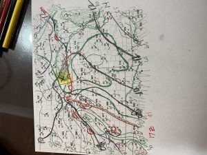
June 15: Chased TX PNHDL and western OK. My original target was Canadian, TX. Sat around doing surface analysis, wondering if I would have a mainly wind squall line. My fear of a back building squall line had me move southward to the north of Shamrock, TX. 30 miles northwest of Canadian in Perryton, TX a tornado formed with one of the supercells embedded within the line of storms. By this time I was targeting a new dryline storm near CDS, hanging around southwest OK. The CDS supercell was weakening, so I targeted the southern end of the squall line moving east out of the TX PNHDL By the time I made it north, the squall line just kept back building southward with a lot wind blown dust outflow.
June 17: Chased eastern OK PNHDL into northwest OK. My target area was ahead of a dryline and south of a weak warm front in the eastern OK PNHDL.The target storm went up fast and had amazing structure. The rotating wall clouds produced a brief tornado 4 miles southwest of Turpin, OK The storm tried to produce a tornado while it tracked south of Beaver, then moved east-southeast and became a big HP supercell. Eventually it turned into a QLCS and I was trying to beat it back to I-35 and head north. Well I did not make it and. got caught by QLCS in north central OK on I-35. I probably had 70 MPH winds, small hail and heavy rainfall.

