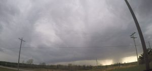
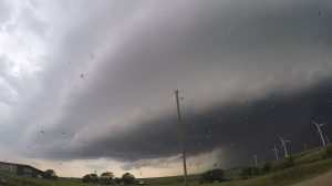
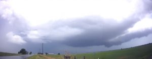
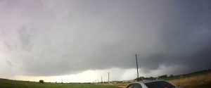
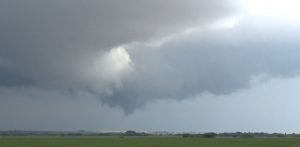
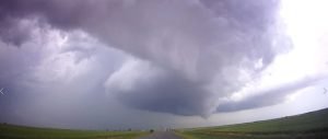
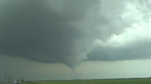
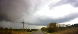
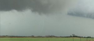
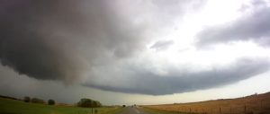
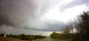
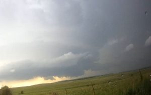
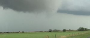
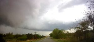
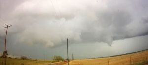
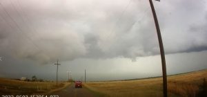
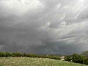
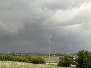
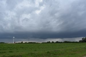
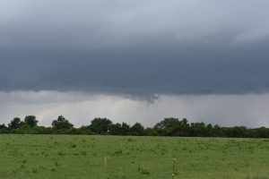
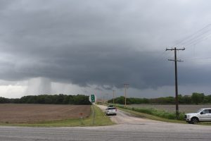
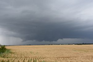
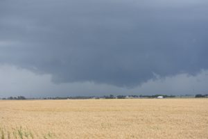
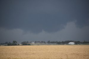
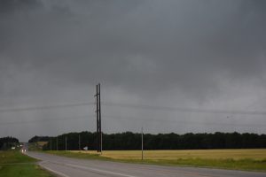
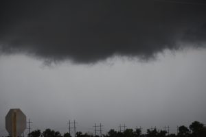
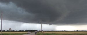
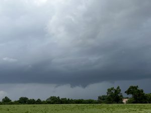
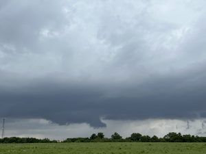
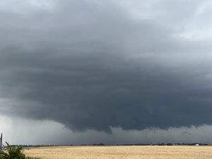
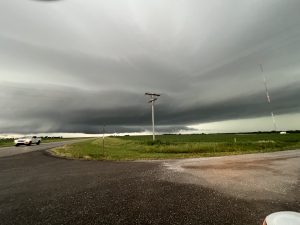
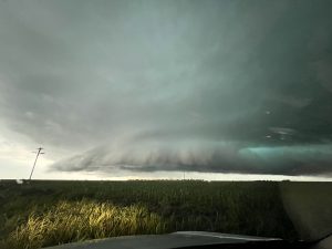
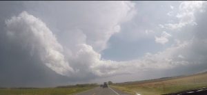
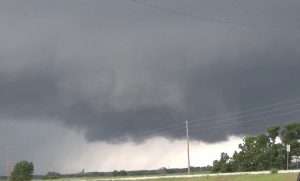
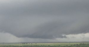
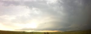
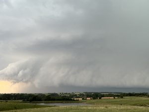
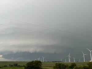
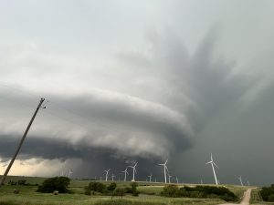
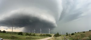
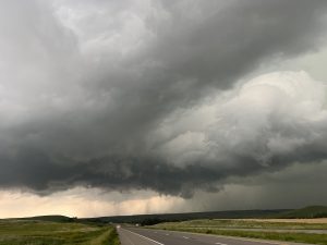
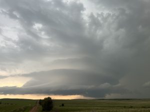
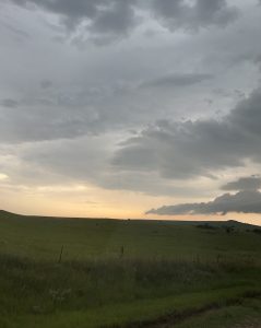
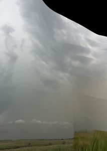
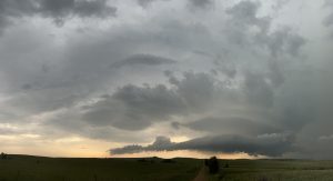
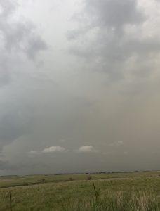
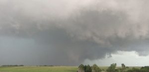
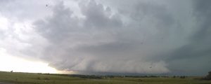
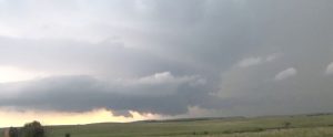
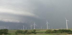
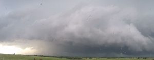
2022 Storm chases- Another bit of a dud year for me.
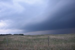
April 23: Did a local chase with Bryan Baerg. We watched a tail end storm with supercell characteristics just northwest of Topeka. We watch 80 MPH outflow to our north and the supercell got undercut and line of storms move north of Topeak. Another supercell was developing to our south, so we drove down to south of Auburn and got under the base but this storm turned into an LP storm and died. Not a bad first chase but I’m glad it was just a local chase.
____________________________________________________________
May 2 2022: Chased northcentral OK. I chased with a friend from work, Daniel Reese and our forecast area was north central-northwest OK. The parameters for tornadoes weakened a bit as we drove to our target areas. If I recall correctly SPC had a moderate risk with a 10 percent hatch for tornadoes with a few long track strong tornadoes possible. As we got southeast of Woodward we seen a line of 3 supercells go ut but they look kike they were struggling to strengthen and the northern storm was weakening. We did see a storm going up south of us near Seiling, OK. We got close to the updraft base west of Loyal, OK and did see 2 weak tornadoes. We followed this storm east to I-35 but it never looked that good, so we headed back to ICT for a late dinner. We intercepted 4 supercells with the southern supercell producing 2 weak tornadoes.
______________________________________________________________
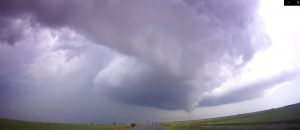
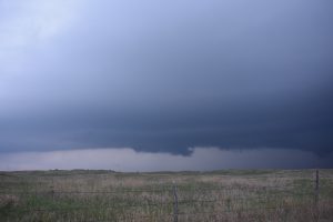
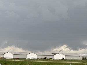
May 13, 2022: Chased a tail end supercell across southeast NE. The storm had structure and a nice rotating wall cloud. I followed the storm northeast to the Missouri river but was miles from any river crossing, so I gave up and went back home. One supercell.
______________________________________________________________
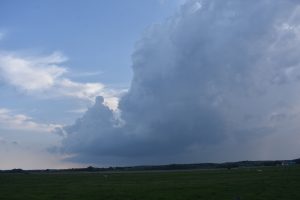
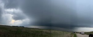
May 29th: I got to chase with my best friend David Gold for the first time in forever, may be since the last MC tour in 2007. I picked him up in Omaha and we headed up to SD. It was a complex forecast with 2 target areas. One in northeast SD and the 2nd in west central SD. We stayed between both target areas, doing analysis, then his IBM models forecast storms developing across central NE, so we targeted this area, east of the dryline and got down to Burwell, NE as big TCU were developing. A storm developed 25 miles WNW of Burwell, NE and that was our target storm. It was a nicely structured supercell and had a rotating base. Road holes and the twilight fading made us end the chase. But this storm looked like it was close to procuring a tornado and it was very slow moving.
___________________________________________________________
May 30th: The big day with a death trough across the northern Plains turned into a bust as the upper trough came out about 5 hours too quick. Everything blew up in the late morning hours with a couple supercells lifting north across far northeast SD about 50 miles west of Sioux Falls. We played what was once an isolated supercell south of Sioux Falls but it got absorbed into the squall line. So we blasted east on I-90, hoping to see an isolated storm develop ahead of the squall line. We stopped at a rest stop in MN to watch the squall line, then we saw a brief truncated cone with debris below on the north side of the bowing outflow boundary. We followed the line east and got to see new cells going up in Iowa, which blasted north and got absorbed into the squall line. After it was hopeless of seeing a tornado we called it quits and drove to ICT to stay at my in-laws house. So we got to see one good supercell, a QLCS, small HP storms and one tornado.
_____________________________________________________________
May 31: We played the stationary outflow boundary draped along the KS/OK border. A storm developed due south of ICT on the outflow boundary. We sat and watched it for an hour as it developed then chased after it. We got under a rotating meso and saw a few funnel clouds but it never produced a tornado. We fallowed this storm about 70 miles east as it became an outflow dominate HP storm. On our way west we caught another storm that went up along the OFB, southeast of Arkansas City, KS. This storm had a lot of rotation and we may have seen a funnel but the rain curtains kept wrapping around this wall cloud. After about 45 minutes of following it east we gave up, thinking it would do the same as the last storm. However, as we were heading west to I-35, we heard reports that this storm produced a tornado about 20 minutes after we left it. Odds are it was probably brief. I drove David back to OKC. During this trip David caught COVID on the plane ride up and thought he had only allergies. He text me the day after while I was at home. I did not feel ill but after he text me that he had COVID, my head began to hurt and I had a 100 degree fever. I took a COVID test and found out I had COVID for the very first time. I had to drive down to ICT to the in laws house because my wife’s elderly parents lived with us. I only missed two days of work, since I tested negative quick.
____________________________________________________________
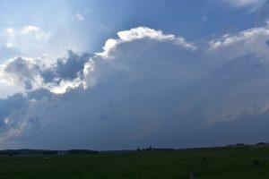
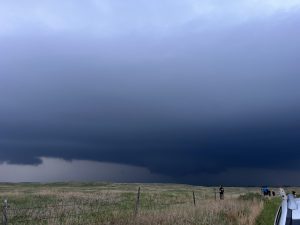
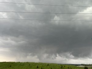
June 22: The parameters looked good for supercells south of the NE border. I saw a storm going up from Topeka, so, I blasted north and then west. Got on the storm west of Centralia, KS and it had nice structure with a wall cloud. But it got undercut by outflow.
____________________________________________________________
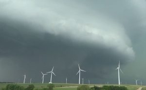
June 24: I took Nancy, her Mom and friend Carly storm chasing. It looked a bit marginal but had parameters for supercell development. We drove west on I-70 to east of Russel where a storm had already formed to our northwest. We parked and watched it produce two tornadoes. One stayed on the ground for a couple minutes. We followed it east as it became more of QLCS but did see a brief tornado in the wind farm west of SLN. We saw our 4th tornado southwest of SLN from an isolated storm that looked good and produce a brief tornado before outflow hit the tornadic storm.

