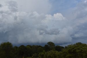
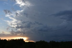
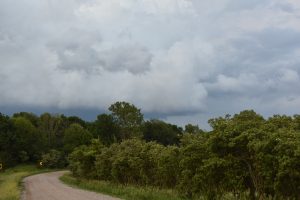
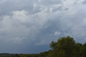
April 22:
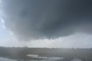
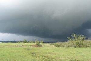
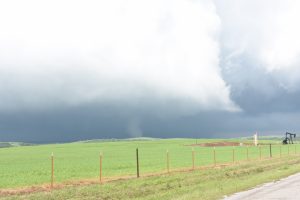
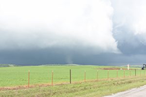
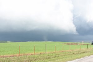
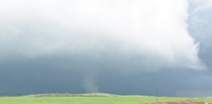
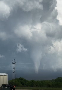
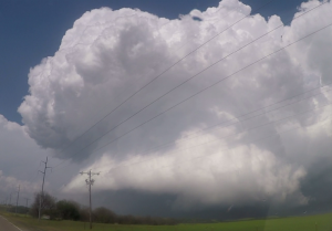
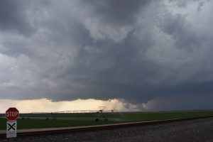
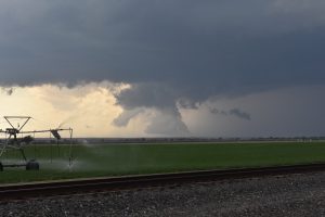
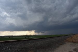
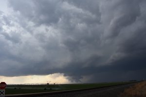
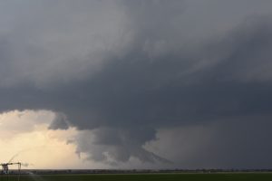
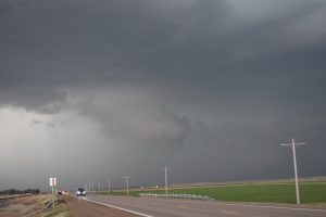
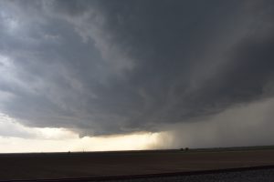
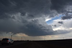
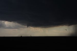
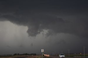
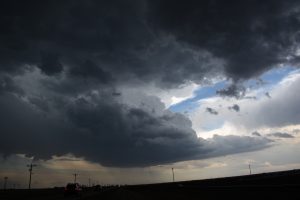
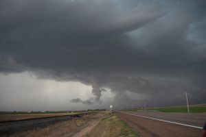
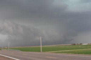
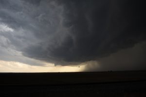
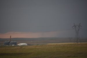
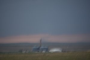
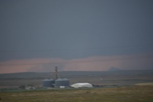
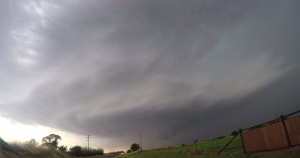
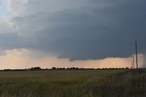
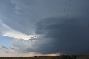
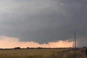
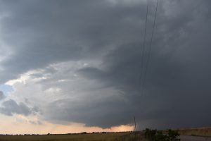
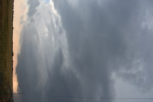
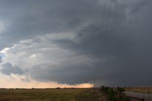
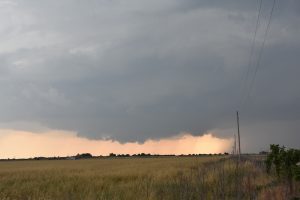
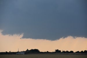
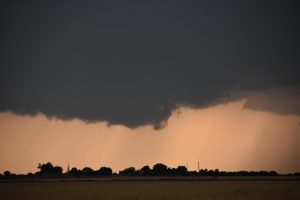
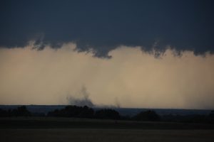
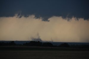
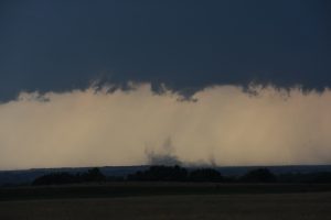
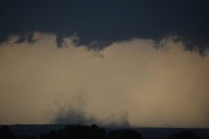
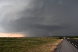
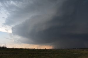
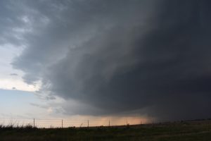
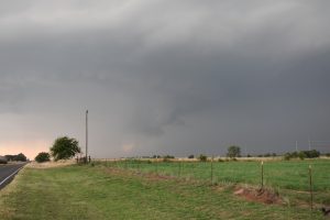
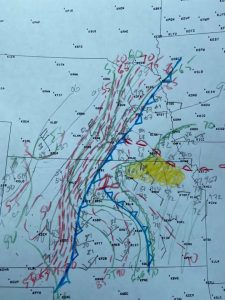
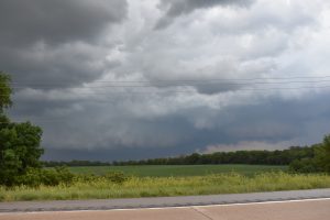
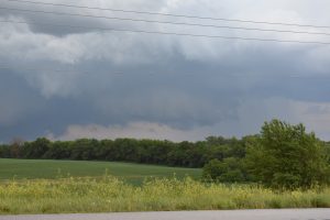
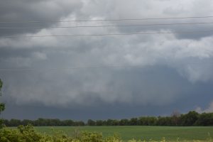
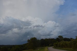
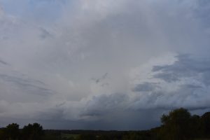
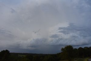
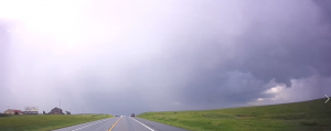
This was my first chase of 2020. An upper level trough was lifting northeast out of the southwestern US. A dryline moved east across southwest OK, while a surface cold front was drifting southward across central OK. The environment looked great along and east of I-35 as 850mb and surface winds were backing to the south and southeast. Nice looping hodographs with 0-1 KM SRH of 250-300 J/KG and MLCAPE of 3000-4000 J/KG. My plan was to play the triple point and my target was southwest of Chickasha, OK. I did see towering CU developing to my southwest and decided to go south of town on US HWY 81 down to Comanche. By this time the storm was still 30 miles south-southwest of me, so I went east on HWY 53, then south on HWY 89. The storm looked linear and I passed under the southwest updraft base 10 miles north of Ringling. I kept going south until US HWY 70, where I headed east to keep up with the updraft. Once the updraft passed northeast of Healdton, OK visually and on radar it began to rotate at mid levels and was developing into a discrete supercell. Therefore, I blasted east and got ahead of the supercell, then went north on a county road out of Lone Grove, OK. I caught up with the supercell between Lone Grove and Woodford and it had a nice lowered rotating wall cloud just to my west. The rotation was moderately strong and I thought tornado genesis was about to occur. Then all of sudden a strong RFD came in from the west and totally occluded the updraft as it passed north of me. The occluded updraft shriveled up as it passed to the northeast just to my north. A new wall cloud was developing about 6 miles to my east, so I had to move north to HWY 53 where I headed east. The new wall cloud was lowering and I could see nice rotation as it moved from the southeast to my east. As I got closer a weak tornado touched down just northeast of Springer, OK. The tornado moved north as another occlusion occurred. A larger wall cloud developed ESE of Springer and move northeast. My east option came to an end and I could see a large wedge shaped tornado to my east and watched it move ENE. Meanwhile to my NNE the occluded wall cloud had a nice rope tornado, and I followed this tornado to the north. I was able to find a clearing and watched this tornado rope out. I tried to get east to catch the main meso that was producing the larger tornado. However, I got caught up in a lot traffic going through Davis and Sulphur and fell way behind the storm. Since I was unable to catch up with the target storm, I went north to a supercell looking storm about 30 miles to my north. By the time I caught up with it the storm had weakened and I did not want to follow it into the trees of eastern OK. So, I called it quits and drove back to Topeka. I wish the east road options were better in Springer but overall it was nice and exciting chase.
2 supercell and 2 tornadoes.
Chased alone.
_______________________________________________________
May 14:
Chased an LP looking supercell north, to east of Emporia, KS. I looked at a storm in Morris County but the 0.5 deg SRM had little rotation. However, the radar beam was hitting beneath the low-level meso of the higher based storm. A tornado occurred and if I did see the next elevation scan up, there was a strong Vrot couplet. So, I just went home. I did see the tornado warned storm along the squall line across Geary County but did not want to drive all the way to the west to try to chase short lived meso vortices.
1 LP supercell
0 tornadoes.
Chased alone.
______________________________________________________________
May 20:
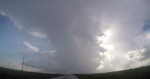
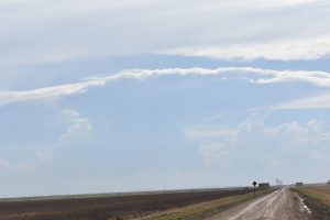
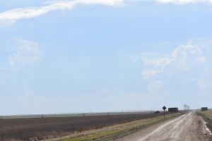
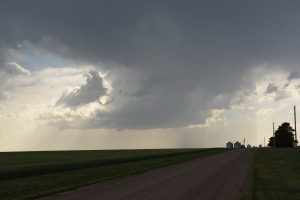
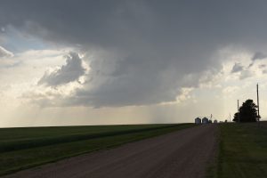
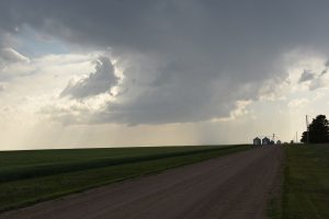
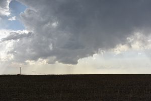
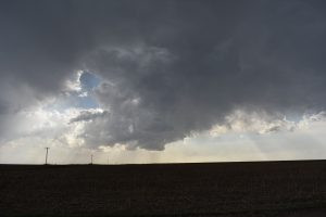
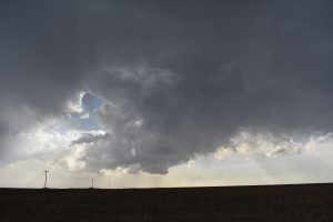
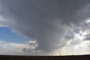
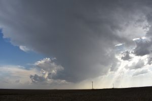
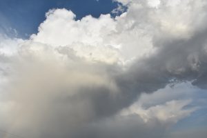
The instability was minimal and the vertical windshear was weak. It was my chase vacation and decided to chase because the next day looked to be better across southwest KS. I got on an updraft north of Springfield, CO. It did not looks like it was rotating and was high based.
1 storm, not a supercell.
0 tornado
Chased alone.
_____________________________________________________________
May 21:
My target area was southwest KS but the cap was strong enough to prevent convection. There were some junky looking outflow dominate storms in southeast CO. I kept going north and got on the southern section of a line of storms near Holly, CO. I did see a weak high based dusty tornado. There were other dust blobs caused by outflow from my vantage point that chasers were calling tornadoes. I went east to get ahead of the storm but may have went a bit too far east as the southern storm transformed into a classic striated barber poll supercell. From my vantage point I could not see the detailed structure. Since I knew there was enough instability and vertical wind shear for structure storms, I dropped down southwest of DDC and got on a nice structured evening supercell.
2 supercells.
1 dusty tornado.
Chased alone.
____________________________________________________________
May 22:
Another marginal chase day across southwest OK. The instability was better but the vertical wind shear was weaker. Got on a storm that developed along the dryline east of Fredrick, OK. This storm looked good structure wise and began to right move to the southeast. I did see a dusty tornado just north of the Red River about 3 miles north of Burke Burnett, TX. The storm evolved into an HP supercell. There was one more dusty tornado in north TX and there were a few funnels, that I did not see touch down.
1 supercell.
2 dusty tornadoes.
Chased alone.
____________________________________________________________
May 23:
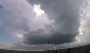
My original target was northeast CO on the north bulge of the surface dryline punching east into east central KS. The Cirrus cloud cover was fairly dense the farther north I traveled. Therefore, I hung around the southwest NE/ northeast CO border. Finally got to see some TCU going up on the dryline to my south, just northwest of GDL. Therefore I blasted south and got east of the developing supercell just northwest of GDL. The storm went up nice and looked good for about 20 minutes. The storm moved E-NE off the dryline and under a big CAP. I was hoping this storm would move about 30 miles farther east to northeast where richer moisture was located. However, the storm shriveled up as it moved northeast. Look like the cap was too strong and when the storm left the convergence zone ahead of the dryline it died. A southern storm went up west of GDL and had the same fate of shriveling up and dying. I think there could have been a few tornadoes if the storm would have made it into the better environment about 30 miles northeast of GDL along the NE/KS border. This chase was bid disappointment. If it was not during my chase vacation, I probably would not have went chasing.
2 supercells.
0 tornadoes.
Chased alone.
_____________________________________________________________
June 9:
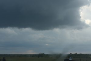
The instability was moderate and vertical windshear would support supercells and may be a tornado or two, so I decided to chase. Got on a line segment of storms just north of Republic along the NE border. A strong cold front was moving east and undercutting these storms. I headed east across south central NE, then dropped south to Marrysville. Nothing was going on, so I went back west into Washington County. The tail end of the squall line looked very outflow dominate and I did see new towers going up on the Pacific front, so I turned around and went back east. Got on a supercell southwest of Marrysville but this storm weakened as it moved to the northeast. While watching the supercell shrivel west of Beatie, I looked to my southeast and did see a new storm updraft but it did not look that organized. so I went back to take more picture of the Beatie updraft. I looked back to my southeast and there was a thin rope tornado that lasted about a couple minutes about 6 miles to my southeast, about 5 miles northeast of Frankfort.
3 supercell.
1 tornado.
Chased alone.
____________________________________________
Overall the 2020 chase season was disappointing. If not for having a day off on 4/22, I would’ve had even a worse season. The pattern during my chase vacation in mid May was pathetic. I should have chased central and eastern IA on May 26 but it was my last day off and did not think it was worth staying up most of the night driving home after the storm chase. However, there were some good tornadoes in IA that day.
___________________________________________________________
supercells 8.
Tornadoes: 5.
Bill’s count: 195.

