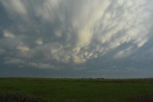
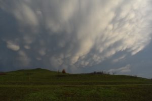
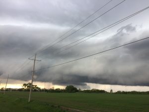
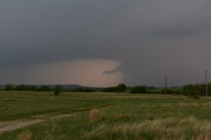
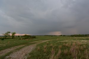
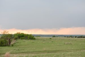
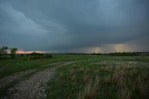
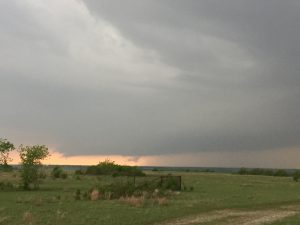
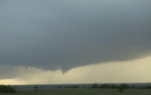
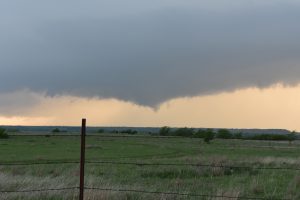
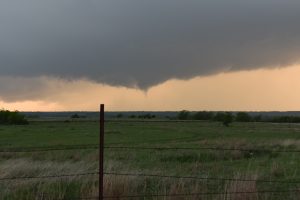
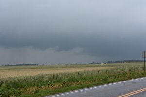
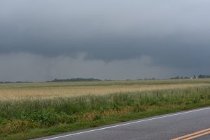
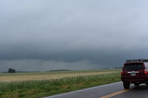
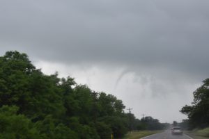
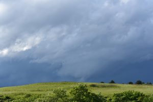
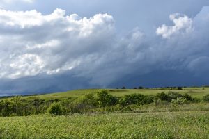
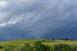
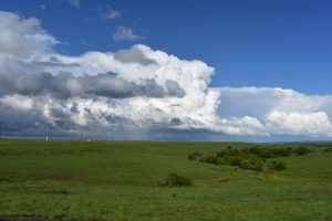
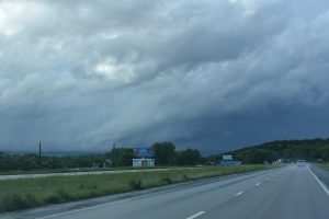
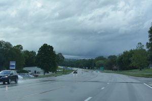
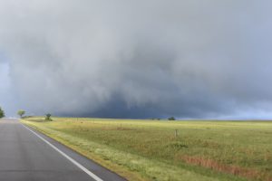
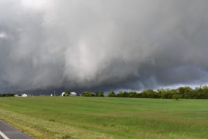
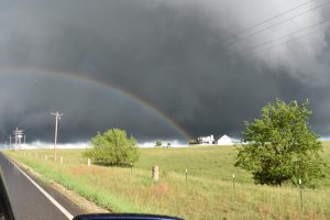
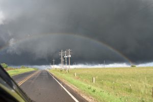
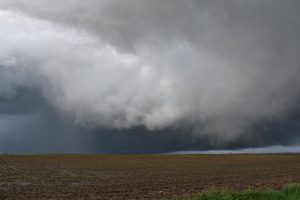
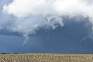
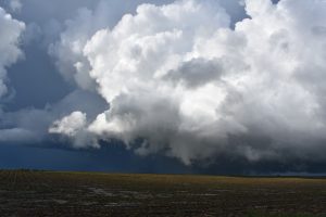
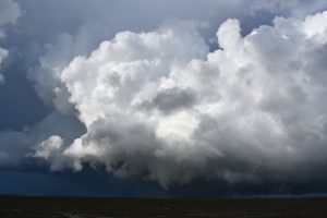
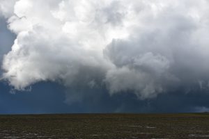
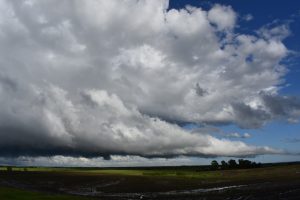
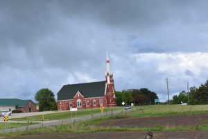
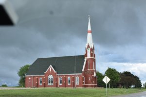
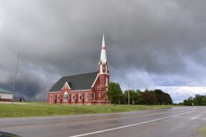
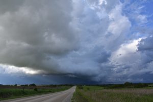
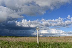
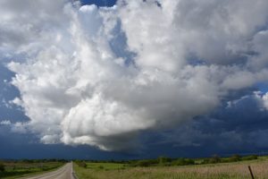
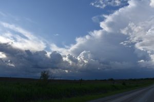
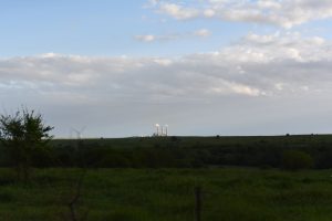
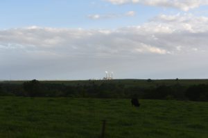
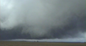
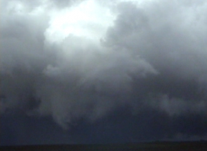
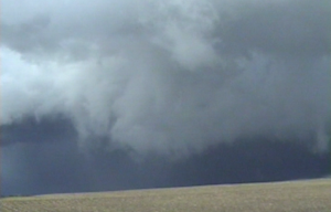
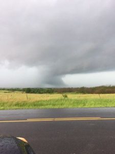
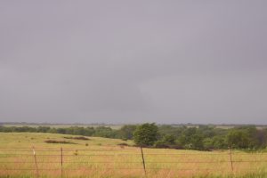
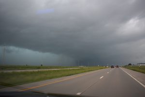
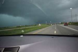
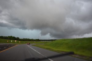
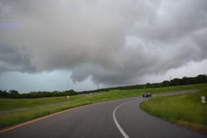
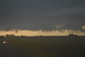
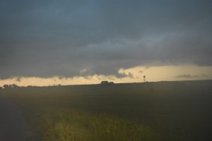
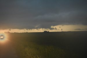
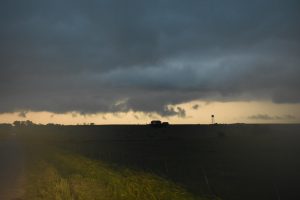
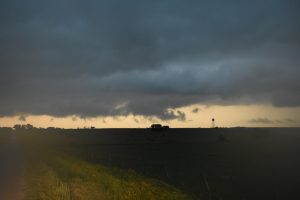
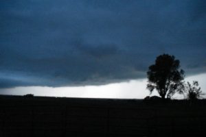
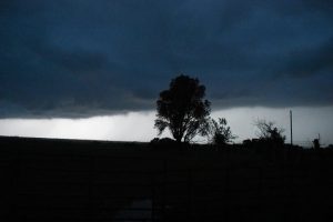
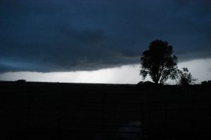
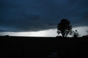
One of my most disappointing years for chasing. During my annual chase vacation the pattern was so marginal in early June, I did not even chase and blew off some HP supercells across the TX PNHDL and southeast NM. I did see two weak and brief tornadoes northwest of the OKC metro on May 20th. On may 21st, the storm I was on south and east of MHK was the only one that day not to produce a tornado. The other good days in 2019, I was unable to chase due to work.
______________________________________________________________
April 6:
A marginal looking supercell developed northwest of Topeka and followed it east, just north of town and ended my chase about 10 miles northeast of Topeka.
Chased alone
1 supercell
______________________________________________________________
April 17:
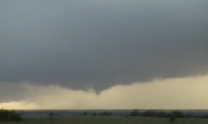
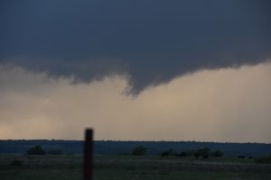
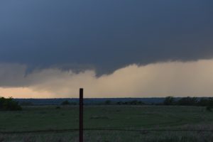
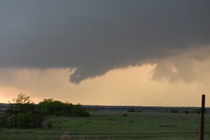
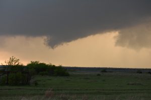
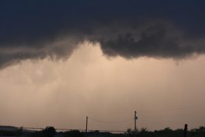
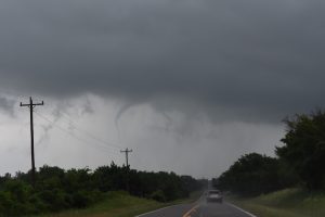
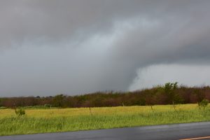
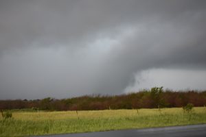
This day was on the marginal side but I thought there would be a chance to see a supercell and perhaps a tornado across southern OK and north TX. We has spent the previous day at Nancy’s parents house in Wichita. We intercepted a line of storms in southern OK, then went to the tail end storm southwest of St. Joe, TX. This storm looked interesting for a while and had a funnel but the line to the north added extra outflow and the line just kept building to the southwest, so we headed back to Wichita.
Chased with Nancy.
One supercell and a squall line.
___________________________________________________________
May 20:
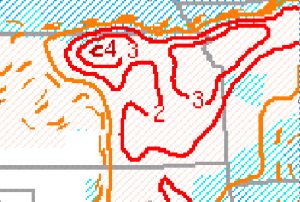
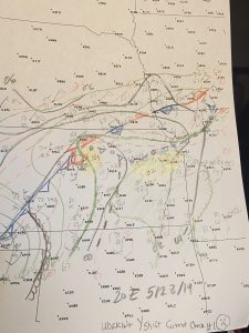
I thought this was going to be a big day, plenty of instability and good low-level windshear within the warm sector across central and southern OK. I actually took 2 hours off work and left for west central OK at noon, hoping for a nice supercell by 4 PM. I was heading to my target area southwest of Clinton, OK when all of a sudden a nice little supercell developed west of El Reno, OK, so I decided to get on this small supercell. The supercell storm produced two small and brief tornadoes.
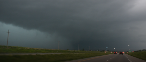
The first tornado touched down east of Cashion, OK.
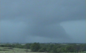
A second tornado touched down south of Cashion, OK.
The storm moved towards the boundary and became totally rain-wrapped as it crossed the front up along I-35. I headed to my original target but noticed all that cold stable air across northern OK was pushing south and the nice storm across west central OK had crossed the boundary and became a big HP blob. I hung out around HWY 9 and I-44 hoping for another isolated storm to develop but it never did. I was thinking about meeting up with Ariel, Bryan and Shawn for a steak dinner in OKC but they were still an hour west of OKC and I had a day shift the next day, so I headed home.
One supercell.
2 weak tornadoes.
Chased alone.
_____________________________________________________________
May 21:
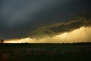
The main upper trough was lifting northeast across the Plains and the atmosphere had recovered across eastern KS. Very strong low-level windshear developed through afternoon hours and several low topped tornadic supercells developed. I was working mids and woke up at 3 PM and decided to head out west on I-70 to developing supercells near Junction City. We saw a nice storm go up south of I-70, due south of MHK and followed it north on the east side of Manhattan. It got a nice lowering rotating wall cloud but never produced a tornado. If I would have slept another hour I could have followed storms north that developed just west of Topeka and several of these storm produced nice tornadoes.
One supercell.
0 tornado.
Chased with Nancy.
______________________________________________________________
May 28:
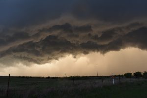
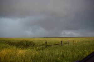
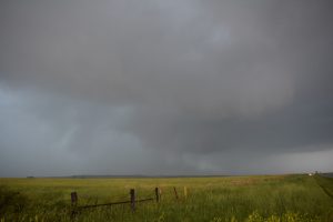
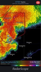
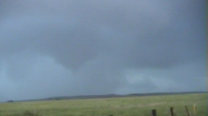
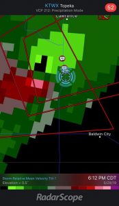
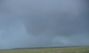
I woke up after a Midnight shift at 2:30 PM and would have liked to chase north central KS out by the surface low northeast of Hayes, KS but I would not have made it back for work, plus work may call me in early which they did. So I decided to play the storm that developed in Chase County and moved northeast across Coffey County, which eventually moved northeast and produced the large tornado south and east of Lawrence, KS. This storm was all rain-wrapped. We did see a southern cell that produced a rotating wall cloud but it got rain-wrapped and my have been the tornado that hit SLT as the southern updraft probably stretched this low-level meso, even though it was in the rainy RFD. We headed back to Topeka once we let the big rain-wrapped tornado pass north us on US 75. We went out to dinner than I got a call from the office wanting me in at 7 PM (about 3 hours before the start of my Y shift).
2 supercells.
0 tornadoes.
Chased with Nancy.
______________________________________
June 21:
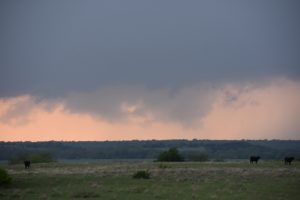
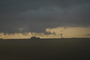
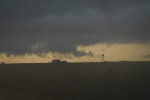
Went up to check out a supercell that had developed in southern Nemaha County, it was nearly stationary and had a wall cloud but then lost to outflow towards sunset.
One supercell.
0 tornadoes.
Chased alone.
____________________________________________
7 supercells.
2 tornadoes.
Bill’s tornadoes: 190.

