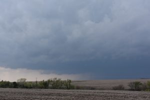
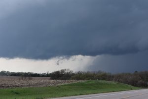
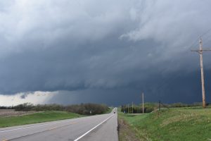
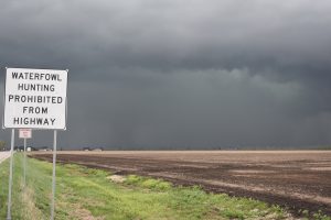
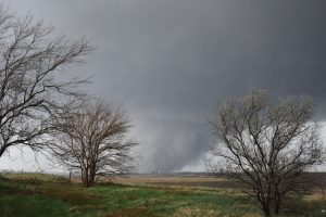
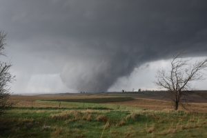
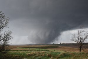
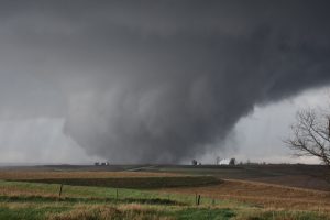
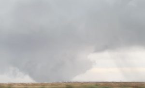
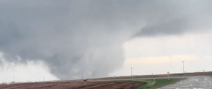
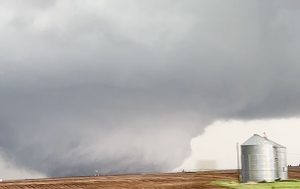
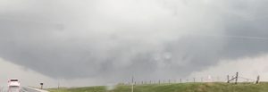
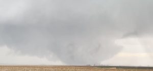
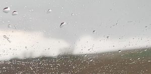
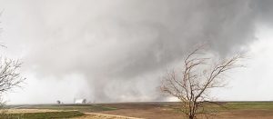
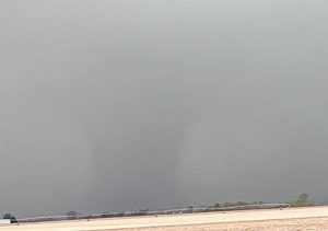
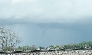
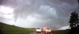
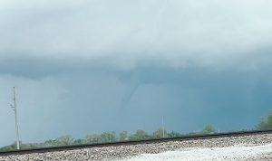
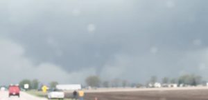
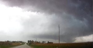
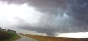
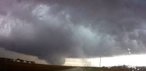
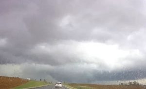
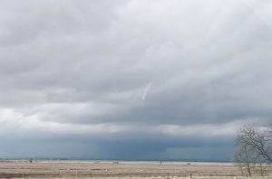
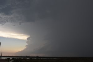
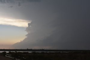
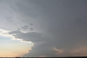
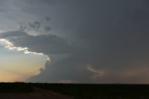
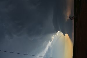
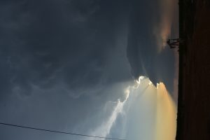
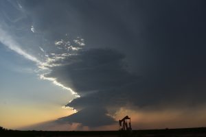
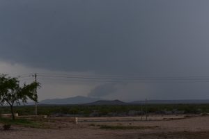
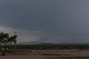
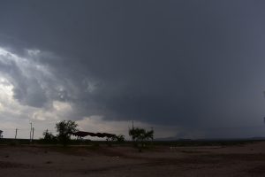
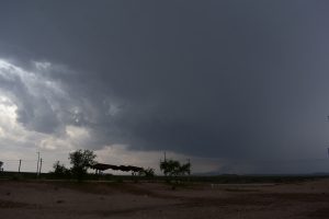
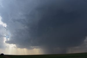
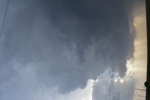
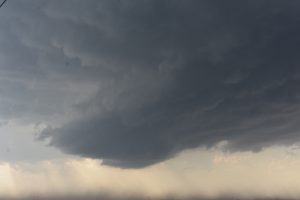
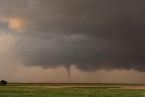
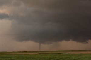
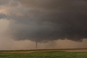
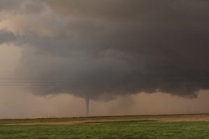
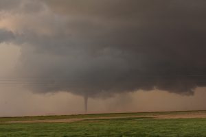
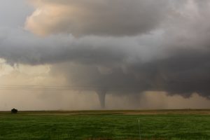
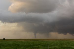
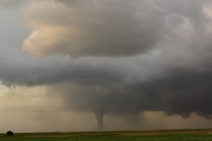
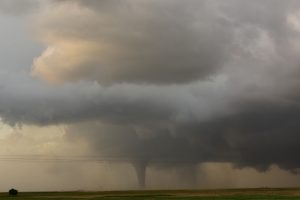
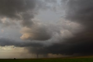
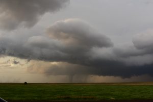
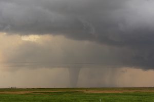
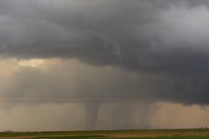
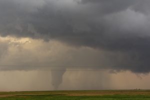
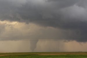
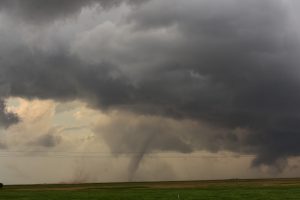
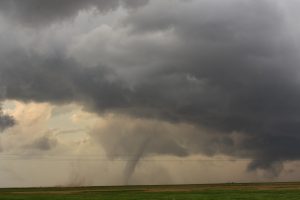
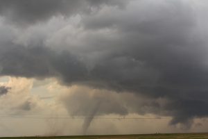
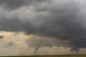
Overall, the 2024 chase season was my best storm chasing season since 2016. I had a banner day on April 26 and a great day chasing with Nancy on June 2.
April 6:
This was my first chase of the season. A warm front was draped across northern OK with a dryline from northwest OK at the triple point, southward to east of CDS. As I drove down into northern OK, I watched a higher based storm that had a low-level meso move east just to my north, just south of Bremen, OK. I let this storm pass on, since it looked to be just north of the warm front. I went farther south to where the warm front was located and was about to head west towards Enid. However, the new HRRR models showed two supercells developing along the dryline across southwest, OK. So, I headed south but decided to just hang around Paul’s valley and see if these storms would develop. Light rain started to form across SW OK, so I went east, to west of Ada, then called it quits. I went northwest to US 177, and took it north to I-40, then west to I-35 and north to ICT.
Supercells: 1.
Tornadoes: 0.
____________________________________________________________
April 25, 2024:
After recovering from COVID, i wen out to western KS to chase supercell storms. I got on a storm south of Colby, the storm was outflow dominate so I kept following a line of scattered high based supercells down to Leotti, KS. followed the tail end storm for a while until it got a bit arcus cloud. Went east to Dighton, the east to Lacrosse, then north to Hayes where I spent the night. All the dust I breathed in worsen my covid cough.
Supercells: 2
Tornadoes; 0
_____________________________________________________________
April 26:
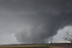
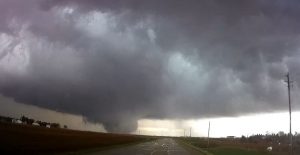
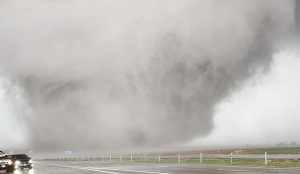
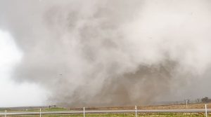
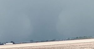
I left from Hayes to Salina, then north into southern NE. Saw a line of storms develop and picked the southern one over northwest Washington County and followed it northeast to Lincoln. I then made a poor decision and though going around to the south of Lincoln, thinking would put me in a better position to intercept the supercell northeast of town. But a large tornado developed north of town and I only made it north to the east of Lawrence to see the rope out of this tornado.. I followed this supercell northeast to the northwest of OMA. I did see a two tornadoes about 25-30 miles northeast of Lincoln. I got around Omaha and followed the supercell northeast to Blair. I got to see a distant wedge from I-680 and I-29, and then I got off on the BR to U75 and got to see a big stove pipe tornado southeast of Blair, NE. I decided not to chase this tornadic supercell through the hills and trees east of the river. I target a supercell moving northeast across the eastern OMA suburbs. It was initially rain-wrapped but was able to view a wedge tornado through the rain curtains, then I left this storm and targeted another tornadic supercell just to my southeast. I got east of the large hail, then saw a narrow funnel on the ground. I got out in front and went up a rest area exit ramp to watch this tornado. It grew much wider and had multiple vortices as it moved north-northeast towards me. I knew the large multi vortex tornado would pass west of me and west of Shelby, IA across I-80. Debris was starting to fall on me, so I started to walk back to my car. I filmed the large tornado across I-80 as it moved north-northeast away from me. It was my best tornado in quite some time that I got to experience.. I followed this tornadic supercell that was producing wedge tornadoes as it traveled north-northeast for about 30 miles, missing all the small towns in its path. It finally got rain-wrapped. Another weak tornado formed west of the big wedge north of Shelby, IA from a separate mesocyclone.
Supercells: 4.
Tornadoes: 7
______________________________________________________________
April 27:
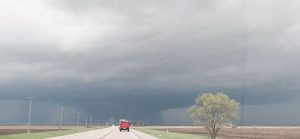
Stayed the night at in-laws house in ICT. Left 2pm and played HP storms southeast of ICT, down through Arkansas City, then southward into northern OK. I drove past a rotating HP supercell north of Ponca City. I kept going south and got on a classic but small supercell southwest of Morrison, OK. A spotter reported a brief tornado with this storm but all I could see was a rotating wall cloud. I gave up on this storm as a new supercell storm developed west of Union City and move northeast to El Reno. I got a visual on this storm and it was a big HP supercell. I followed it north-northeast, then followed it northeast to east of Marshall then got on I-35 at Ponca City and drove north through the core, back to Wichita.
Supercells 4
Tornadoes 0
___________________________________________________________
April 30:
Met up with buddy David Gold and targeted northwest OK. We sampled four different supercells but they were all rain-wrapped and outflow dominate. The vertical wind shear was good but the mid-levels had a VBV profile. We had to drive north through severe storms to get back to Wichita.
Supercells 4
Tornadoes 0
____________________________________________________________
May 30:
First day of my chasecation with Nancy. Target was east of MAF. We left TOP after I worked a mid shift at 8 am. We tried to get down to the target area. A supercell storm developed just northwest of MAF and moved south-southeast to south of MAF. We got on the storm but could not see the tornado from our vantage point. Tried to get around the storm but it started to weaken and then shrunk to a nice HP storm.
Supercell 1
Tornado 0.
______________________________________________________________
May 31:
Intercepted a supercell south of MAF. It looked nice for a while but weakened and fell apart.
Supercell 1
Tornado 0.
__________________________________________________________
June 1:
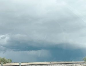
After spending the night in MAF, it looked like the best area for supercells to develop would be west of Ft. Stockton, TX. We had lunch at Ft. Stockton where I refined my forecast to where I-10 and I-20 merged. We watched a storm develop west of Toyahvale, TX and followed this storm east along I-10. It started to develop a nice wall cloud, and started moving southeast. So we took HWY 67 southwest about 10 miles southwest of Ft. Stockton. This storm nearly produced a tornado but got totally rain-wrapped. We took HWY 67 down to HWY 10, then we could see the big HP storm to our north.as we headed towards Marathon. I thought east of Marathon we could get a good view. That was not the case as we drove into a Canyon with no view to the west and north. We kept going until we reach Dryden, TX ( only 15 miles north of the US border). We took HWY 349 northeast on one of the most desolate highways, I ever drove on. We finally got on some better Highways northeast of Ozona TX as we spent the night in SJT.
Supercell 1
Tornado 0
______________________________________________________________
June 2:
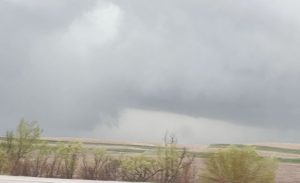
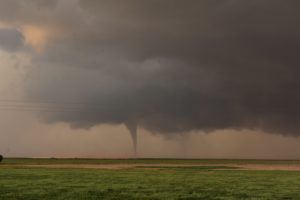
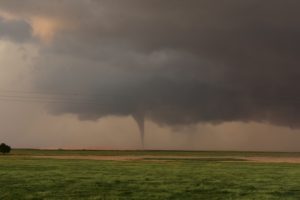
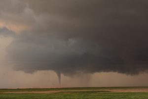
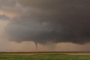
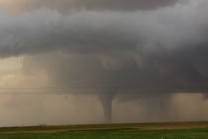
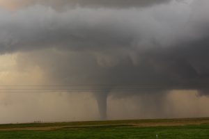
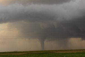
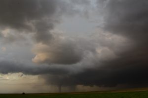
We left SJT and my initial forecast was along the southern TX PNHDL where an OFB was located. We had lunch in Snyder, TX and I refined my target to an area on the caprock northwest of Tulia. As we headed north we did see a storm develop west of Happy, TX. We intercepted the storm about 10 miles WSW of Happy and followed it southeast. After a nice attempt of the tornado, the supercell re-organized right over us. We had large hail falling all around us, as we drove through the hook then took highway 207 south through one of the river canyons but as we came back up on the Caprock near Virgo Park, TX we saw a tornado just to our east. The tornado lasted about 5 minutes before it roped out. As we drove south to Silverton, TX, the supercell produced another tornado about 5 miles north. We got east of town and watch the slim tornado rope out. Another tornado formed and kept growing wider, until it became a nice stove pipe. This tornado lasted about 17 minutes before roping out. We followed the storm to northwest of CDS and left it as it was getting weaker. We Stayed in SPS.
Supercell 1:
Tornadoes: 3
_____________________________________________________________
June 3 : We played a triple point near CDS. A storm went up but struggled and then weakened. Another storm went up west-southwest of Matador, TX and looked like a supercell for a while but died as soon as we got close to it. We headed back to ICT and our chase vacation was over!
Supercell 1
Tornadoes 0
_____________________________________________________________

