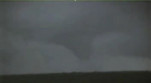
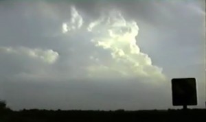
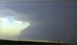
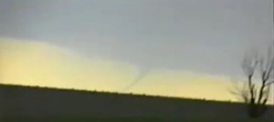
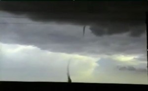
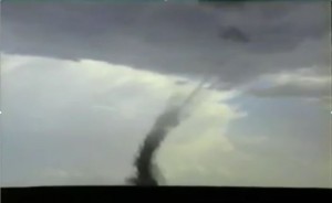
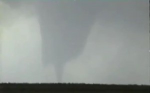
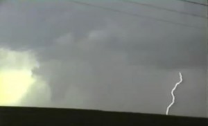
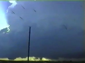
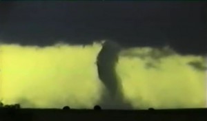
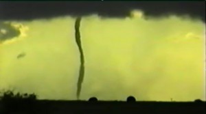
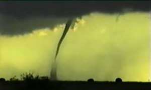
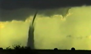
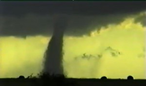
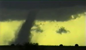
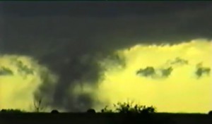
April 12:
Nice upper trough was lifting northeast into the upper MS river valley. However, winds across northeast IL and western IN began to veer out. Got on an HP supercell near Kankankee, IL. The storm really weakened when it moved into northwest IN.
Supercell: 1
Tornado: 0
Chased alone.
_______________________________________________________________
April 18:
I played the marginal day before the big day on the 19th. Got on a line segment from central IL into southern IL. The southern end of the line was an HP supercell that moved northeast near Decatur, IL. Once it got dark, I gave up the chase and headed to Chicago to stay with Sean Lyon.
Supercell: 1
Tornado: 0
Chased alone.
_______________________________________________________________
April 19:
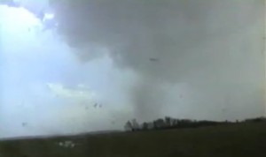
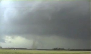
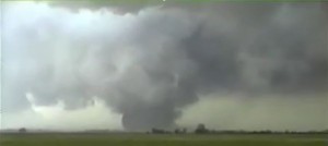
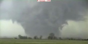
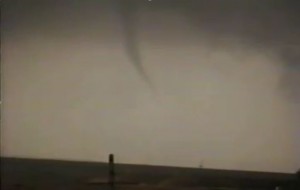
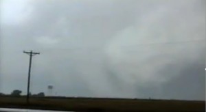
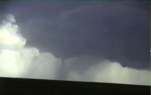
Looked like a big day for west central IL as intense upper trough was lifting northeast out of the plains. Deep moisture was in place with good CAPE and extreme vertical windshear. My target was initially near Jackonsville but we headed northwest and got on a storm that moved northeast out of eastern MO. This storm produced a brief tornado south of Beardstown, IL. The small tornado got absorbed by a developing large wedge near Bath, IL. We followed the large tornado for over 30 minutes and watched the tornado rope out. We saw a brief third tornado southwest of Bloomington, IL We saw another storm explode to our east-southeast near sunset and tried to catch up with it. We got near the storm when it moved south of Champagne, IL but could never get in front of this tornadic supercell. It was night, so we gave up chasing.
Supercell: 2
Tornadoes: 3
Chased with Sean Lyon.
Supercells: 3
Tornadoes: 3
Chased with Sean Lyons.
_______________________________________________________________
April 21:
Chased southwest OK into north central TX. Several high based supercells went up along the dryline. We intercepted one near Hollis, OK and a second near Electra. We followed this storm northeast into south central OK. We gave up after sunset but the tail end storm north of Gainesville, TX turned into a classic torandic supercell that produced tornadoes from McAlester to Fort Smith, AR.
Supercells: 2
Torando:0
Chased with Jon Finch.
_______________________________________________________________
May 8:
North central Kansas looked to have good vertical windshear and decent CAPE for supercells. When in north central KS notice the moisture was mixing out so we headed south into south central KS. We intercepted a nice classic supercell in Reno County, KS that had a rotating low-level mesocylone and a few funnels but no tornado.
Supercell: 1
Tornado: 1
Chased with Jon Finch.
______________________________________________________________
May 9:
Played triple point this day across north central KS but warm sector ahead of dryline was capped. We played a storm near Delphos that developed along the cold front and became an HP supercell. We left this storm and targeted supercell that developed in Clay County. The storm we left went on to produce a tornado near Marysville. Our supercell became an HP storm and we left at sunset.
Supercells: 2
Tornado: 0
Chased with Jon Finch.
_______________________________________________________________
May 12:
This day had moderate CAPE but weak vertical windshear across the TX Panhandle. We got on a storm that developed along the dryline north of Perryton, TX. This storm had classic supercell structure but the low-level windshear was too weak for tornadoes.
Supercell: 1
Tornado: 0
Chased with Jon Finch and Sean Lyon.
_______________________________________________________________
May 13:
Went to south central KS in hopes that outflow from a morning MCS would recover ahead of the dryline. It never did and low clouds stayed in place there were no storms to chase.
Supercell: 0
Torando: 0
Chased with Jon Finch and Sean Lyon.
_______________________________________________________________
May 14:
The vertical windshear was weak and atmosphere never recovered across north central KS. We were on our way home until SPC put out a watch across southwest KS and this suckered us west into southwest KS. We got on a high based supercell that became HP rather quickly. After an hour following this storm we gave up and went back to Norman.
Supercell: 1
Tornado: 0
Chased with Jon Finch and Sean Lyon.
_______________________________________________________________
May 17:
It looked like a potential tornado outbreak across southwest OK given the combination of strong vertical windshear and moderate CAPE. When we got up to SW MN the surface winds began to veer to the southwest along with 850mb winds. We got on a storm that developed along the surface cold front. This storm was a big HP storm that we chased for a few hours before calling it quits.
Supercell: 1
Tornado: 0
Chased with Jon Finch.
_______________________________________________________________
May 18:
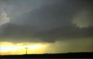
Played east central SD along the dryline. The CAP was strong and the upper trough moving in was slower. It was 6 PM with only a few CU and were about to call it quits. We went out to dinner in Huron, SD and while finishing up we saw these towers explode to our northwest. A nice classic supercell formed and we followed it northeast at at sunset. The storm got a really nice wall cloud and we thought may have produced the tornado but we could not confirm this since this storm did not have much lightning. But overall this was a great storm for a day that look to be a bust.
Supercell: 1
Tornado: 0
Chased with Jon Finch.
______________________________________________________________
May 22:
Looked like a great northeast CO day with good CAPE and vertical windshear. We sat around Sterling, CO then moved east into northwest KS. We saw a storm in the southeast NE Panhandle go up. This storm was moving southeast and we were well northeast of the storm at this time. We blasted south and got to see great storm structure and a tornado as the storm moved south of the KS and NE border. This was the famous Benkleman, NE tornado.
Supercell: 1
Tornado: 1
Chased with David Gold.
_______________________________________________________________
May 23:
This day look good across northeast CO. We were banking on the Denver cyclone developing, however a strong thermal low developed across southwest KS and weakened the low-level wind fields across northeast CO. The moisture was mixing out across eastern CO, so we headed for extreme western KS. We finally saw a storm develop on the front range that moved towards Last Chance, CO. We followed this storm east but it went into more an area that had mixed out. The storm rapidly dissipated.
Supercell: 1
Tornado: 0
Chased with David Gold.
_______________________________________________________________
May 24:
Missed getting to early storm that formed ahead of the dryline and produced a brief tornado northwest of Pampa, TX. Played a supercell near Dumas that turned into a big HP storm. We left this storm to play another HP supercell near Pampa, TX
Supercells: 2
Tornado: 0
Chased with David Gold.
_______________________________________________________________
May 25:
This day had good vertical windshear and moderate CAPE ahead of the dryline across the western TX Panhandle. We got on a storm near Bovina, that moved north-northeast west and northwest of Friona. We saw two brief tornadoes, one west of Friona and a second north-northeast of Friona. We did not follow this storm north-northeast because it looked to be a big HP supercell. However, 30 minutes later this storm transformed into classic supercell that produced a large stove pipe tornado that we missed. We got on another supercell near Happy, TX that turned into a big HP storm and we let it go off the cap rock.
Supercell: 2
Tornadoes: 2
Chased with David Gold.
_______________________________________________________________
May 26:
Since we drove back to Norman there was no chance we would make it to the best area north of the dryline bulge across southwest KS. Of course a good tornadic supercell developed near Ulysses, KS. We played the dryline across southwest OK and got on a junky HP supercell near Lawton that we followed northeast back to OKC. Overall, this was a big bust since all we had to do was stay overnight in the TX Panhandle.
Supercell: 1
Tornado: 0
Chased with David Gold.
_______________________________________________________________
May 30:
Vertical wind shear and instability looked good across the south plains of west TX. I got on a supercell over southeast NM that moved northeast to west of LUB. This storm was a bit HP storm. I left to stay the night in AMA.
Supercell: 1
Tornado: 0
Chased with David Gold.
_______________________________________________________________
May 31:
Descent set up with moderate vertical wind shear and instability across southwest KS. As I was driving north I got nervous about winds veering ahead of the dryline. I played northwest of the triple point across east central CO. I got on a nice supercell near Sheridan Lake, CO that produced 2 tornadoes and a landspout. After the storm dissipated, I was running low on gas and had to ask a farmer to borrow some gas. Then I went after the storm near Rolla, KS. When I got to it, it had turned into an HP supercell.
Supercells: 2
Tornadoes: 2
Chased alone.
_______________________________________________________________
June 4:
Vertical windshear looked great across northeast CO. We were hoping moisutre would make it back but it was too slow. We got on a high based LP storm northeast of LIC but it dissipated after an hour.
Supercell: 1
Tornado:0
Chased with Jon Finch.
_______________________________________________________________
June 5:
Looked like southwest NE would have good vertical windshear and instability. However, thermal low developed in western KS and cut off moisture transport to southwest NE. We raced east and got a storm that developed northeast of Concordia, KS. This storm was a big HP supercell and we left it.
Supercell: 1
Tornado: 0
Chased with Jon Finch.
_______________________________________________________________
June 19:
It look like best vertical windshear and insability would be across northeast CO and southwest NE. However, deeper moisture was much farther east and I was 2 hours behind a supercell that developed across west central NE and went on to produce a tornado near O’Neil, NE.
Supercell: 0
Tornado: 0
Chased alone.
_______________________________________________________________
June 20:
The best area of vertical windshear and instability was across the NE Panhandle. I got on two high based supercells but left them for another surface based storm west of the Black Hills.
Supercells: 3
Tornado: 0
Chased alone.
_______________________________________________________________
June 21:
Chased along foothills across north central CO. Got on a few high based storm. One storm had pulse supercell appearance. These storms all died after 600 PM.
Supercell: 1
Tornado: 0
Chased alone.
_______________________________________________________________
June 22:
Good vertical windshear and instability across eastern MT and northeast WY. Got on a nice supercell north of Recluse, WY. The storm may have produced a tornado but a ridge was blocking my view, so all I can say is that it was a funnel cloud.
Supercell: 1
Torando: 0
Chased alone.
_______________________________________________________________
July 12:
Eastern SD had great vertical windshear and high CAPE. When I arrived a line of storm were developing and a squall line formed. The tail end of the line had a HP supercell but it was very outflow dominated across south central SD. I got to see a big gustnado.
Supercell: 1
Tornado: 0
Chased alone.
_______________________________________________________________
July 17:
A northwest flow day across eastern SD with extreme instability. We got on a nice supercell southwest of Andover, SD and the storm remained stationary and produced a nice stove pipe tornado that slowly roped out over a 20 minute period.
Supercell: 1
Torando: 1
Chased with Sean Lyon.
_______________________________________________________________
July 18:
Once again northwest flow across eastern WI with extreme instability. It looked like the triple point southwest of Green Bay would be the best place for a tornadic supercell. We got on a nice supercell but it became a big HP blob. We could not make it down to the supercell 60 miles south that produced an intense long track tornado. By the time we got on to the storm, the show was over.
Supercells: 2
Tornado: 0
Chased with Sean Lyon.
_______________________________________________________________
August 4:
Good vertical windshear and CAPE across south central SD. Got on a high based supercell that got undercut from outflow that developed from storms that moved off the Black Hills. The storm became a big HP supercell. Followed it east on I-80.
Supercell: 1
Tornado: 0
_______________________________________________________________
Supercells: 38
Tornadoes: 13
Bill’s count: 57.

