January 18:
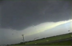
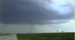
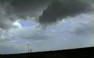
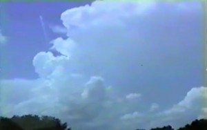
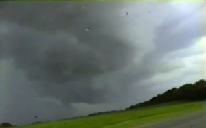
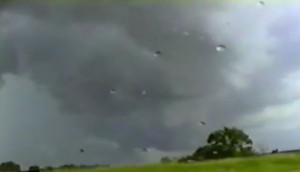
This was my first ever January chase. An intense upper level trough was moving into southwest TX. 70 dewpoints were moving onshore across southeast TX and the vertical windshear looked good. We targeted Beaumont, TX but the low clouds held all day but a supercell did manage to go up north of Beaumont, TX. The storm had a weakly rotation wall cloud but then became an elevated storm. We had no data but skies cleared across southwest LA and nice tornadic supercells developed in the Baton Rouge areas. We were way too far west to chase these storms.
Supercell: 1
Tornado: 0
Chased with Jon Finch.
_______________________________________________________________
February 26:
Target north TX since vertical windshear and instability looked good for supercells ahead of the dryline. However pre-dryline trough veered the winds ahead of dryline, so we left from Decatur, TX back to Norman. We saw a storm explode north of OKC so we targeted this storm. It developed into a supercell with rotating wall cloud.
Supercell: 1
Torando: 0
Chased with Jon Finch.
_______________________________________________________________
March 24:
This day had good vertical windshear but the moisture was limited. Got on a high based supercell east of the dryline in southwest OK, northeast of Quana, TX.
Supercell: 1
Tornado: 0
Chased with David Gold.
_______________________________________________________________
March 25:
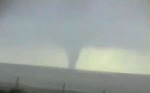
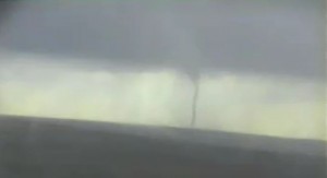
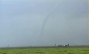
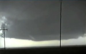
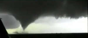
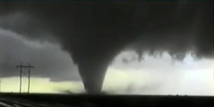
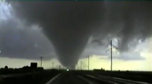
Our target was the eastern TX panhandle along the dryline. The warm sector was all grunged out across western OK. you had to be right along the dryline to see any type of clearing. We were thinking about giving up in Elk City but kept pushing west to the dryline. Several chasers did give up and went back to Norman due the grungy warm sector across western OK. Once we got to Shamrock were in the sun ahead of the dryline. We saw towers going up to our northwest so we headed north. A nice supercell developed southwest of Canadian and as we got closer and followed the storm north, a nice tornado developed near Lipscomb, TX. The tornado roped out after 10 minutes. We played another storm but it was not as intense. We called it quits and headed back to Norman.
Supercells: 2
Tornado: 1
Chased with David Gold.
_____________________________________________________________
April 8:
Made a last minute run to north central KS. Deep moisture was pooling along warm front with good low-level wind shear. The storm that went up near Mankato, KS quickly became an HP storm as it moved northeast of the warm front. Followed it for a while but it became an elevated POS storm. We headed back to Norman.
Supercell: 1
Tornado: 0
Chased with Jon Finch
_______________________________________________________________
April 9:
The target this day was south central OK. However a weak cold front pushed east. We ended up southeast of Ada, OK, watching towers go up along the front but they could not break the CAP before they got under cut by the front.
Supercell: 0
Torando: 0
Chased with VORTEX-95.
_______________________________________________________________
April 10:
Chased northeast of Dallas where an isolated storm went up ahead of the dryline. The mid and upper level flow was weak and storm quickly transformed into an HP supercell. V-95 target the storm for about an our then we gave up and headed back to NSSL.
Supercell: 1
Tornado: 0
Chased with VORTEX-95.
______________________________________________________________
April 16:
Originally targeted northwest OK but made a mad dashed south into southwest OK where we intercept an outflow dominate supercell near Altus. This storm moved northeast into a poor network. FC called off operations and the Vortex-95 armada headed back to NSSL.
Supercell: 1
Tornado: 0
Chased with VORTEX-95.
_______________________________________________________________
April 17:
Intercepted a nice supercell near Grayback, TX, then followed it northeast to Grandfield , OK. The storm accluded and the new updraft shifted northeast to near Cookietown, OK. The new wall cloud began to rotate more rapidly. D-J and I were on our way to get back in front of this supercell but Probe 1 broke down on Highway 70 just east of Highway 65. The supercell went on to produced two tornadoes that most of the V-95 armada were able to intercept. The tow truck took several hours to tow us back to Norman.
Supercell: 1
Tornado: 0 (though the rest of V-95 intercepted 2 tornadoes).
Chased with VORTEX-95.
_______________________________________________________________
April 19:
While driving to NSSL, I saw a lot of smoke along the northern horizon up near OKC. No one at the time knew what happened and we thought it was just some industrial fire. As we left NSSL for our deployment the FC said there was a bombing in OKC. As we drove southwest of I-44 we saw scores of emergency vehicles heading northeast towards OKC during our trip down to SPS. We later learned that over 100 people were killed in the Maura Building bombing. We intercepted a storm near Munday but this storm lacked structure and was not a supercell. We left this elevated storm and targeted a boundary rooted storm east of ABI. However, the storm weakened and fell a part as we intercepted the storm along I-20. FC called off operations and we headed back to NSSL.
Supercell: 0
Tornado: 0
Chased with VORTEX-95
_______________________________________________________________
April 28:
The environment looked good ahead of dryline in central TX PNHDL. However all we saw was blue sky on our drive west to Texola, OK. At Texola we decided the CAP was too strong and turned around and headed back to Norman.
Supercell: 0
Torando: 0
Chased with Jon Finch.
_______________________________________________________________
April 29:
An HP supercell developed in southwest OK and moved southeast where the armada intercepted this storm on the south side of Lake Texoma to the west of Sherman, TX.
Supercell: 1
Tornado: 0
Chased with VORTEX-95
_______________________________________________________________
April 30:
Moisture return was not as fast as forecasted to the TX PNHDL. The armada intercepted a high based supercell to the west of Silverton, TX.
Supercell: 1
Tornado: 0
Chased with VORTEX-95.
_______________________________________________________________
May 3:
The armada headed down to play the dryline west of Mineral Wells, TX. However supercells developed across southwest OK. V-95 was too far south to intercept these storms but they were all HP. The CAP was too strong along the dryline south of the Red River. FC finally called off operations and we headed back to NSSL.
Supercell: 0
Tornado: 0
Chased with VORTEX-95.
_______________________________________________________________
May 6:
V-95 armada probed the caprock near McClean, TX. There was upslope, well north of the outflow boundary. A storm did go up well south of us along the triple point northeast of MAF. At 7 PM the FC called off operations and we headed back to NSSL.
Supercell: 0
Tornado: 0
Chased with VORTEX-95.
_______________________________________________________________
May 7:
An intense upper trough was lifting northeast across west TX. Most models showed a big squall line along the dryline/pacific front across the eastern TX PNHLD southwest to MAF. We targeted southwest OK hoping the initial storms would be supercells, or Supercells would develop ahead of squall line. We intercepted a big squall line west of Altus. Meanwhile a morning MCS across north TX was weakening with one storm remaining. This storm slowly became rooted in the boundary layer and developed into a supercell thunderstorm along the Red River and hen crossed into southern OK and produced a long track tornado that moved northeast to the northwest side of Ardmore. We tried to race east but we were 50 miles behind this suspercell. We then stayed ahead of the squall line and got on an isolated storm that formed near Duncan. It formed into a supercell but was too close to the advancing squall line and got absorbed into the squalline. We stayed ahead of the squall line all he way back to NSSL.
Supercell: 1
Tornado: 0
Chased with Vortex-95.
_______________________________________________________________
May 12:
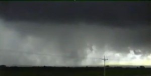
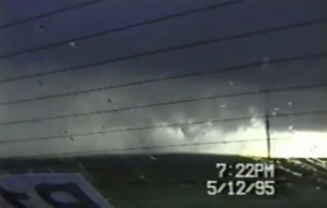
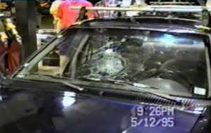
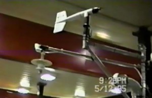
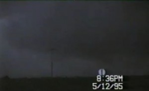
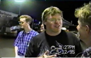
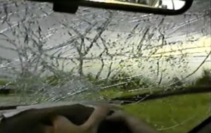
My best friend David Gold got to chase with us in Probe 1 Today. We intercepted a supercell near Lucus, KS. This storm produced a brief tornado before it became an HP supercell. We also got a few baseball hailstones that cracked the front windshield and several large dents in probe 1.
Supercell: 1
Tornado: 1
Chased with VORTEX-95 with Bob D-J and David Gold.
_______________________________________________________________
May 14:
Great vertical windshear and SBCAPE over 4,000 J/KG across north TX. However, CAP would not break. David and I checked out ADM tornado damage from May 7th, after we knew the CAP would not break.
Supercell: 0
Tornado: 0
Chased with David Gold.
_______________________________________________________________
May 16:
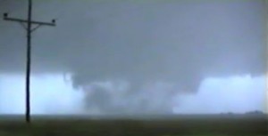
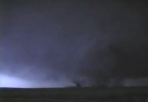
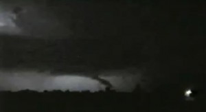
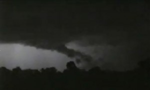
First classic supercell chase with V-95. Great southwesterly mid and upper level winds. The low-level winds backed through the afternoon ahead of the triple point west-southwest of Garden City. We left late and missed most of the first supercell that moved west and north of Garden City, we got to see a large stove pipe tornado rope out to the northeast of Garden City. The storm produced a brief tornado near Jetmore, KS. A new storm formed southwest of Hanston and intesnified as it moved northeast. We were on the south side of Hanston and watched a tornado form just to our east on the far southeast side of town. As we were going north I jumped a drainage ditch that was build into the road. All four tires of P-1 left the ground and we hit hard when we landed. The entire frame of the car scraped the roadway. Luckily P-1 was still drivable and we went after the Hanston Tornado. We passed the multi vortex tornado to the north and got a good pressure trace according to Jerry Straka. FC called off all operations but knew we would continue to chase the tornado. We got ahead of the tornado and played cat and mouse with it. After dark it took on many different shapes and sizes with lightning illuminating it at times. Our gas tank was nearly on Empty but we were able to find an open station.
Supercells: 2
Tornadoes: 3
Chased with Vortex-95, David Gold and Bob D-J.
_______________________________________________________________
May 22:
Vortex played the dryline in the eastern TX Panhandle. We got on a storm west of Shamrock. The moisture mixed out but the vertical windshear was good. The high based storm produced huge hail. We got in Softball size hail on I-40 and broke most of our windows on probe 1. We followed this into southwest OK before we left it for a second HP storm in northwest OK. We were missing a front windshield, so we had to take the back roads back to Norman.
Supercells: 2
tornado: 0
Chased with Vortex-95.
______________________________________________________________
May 23:
Intercepted an HP supercell near Indiahoma, OK and followed it east to I-44 before we left it. Tried to play tail end of developing squall line along Red River but outflow pushed well ahead of storm updraft’s. We left the squall line and headed back to Norman.
Supercells: 2
Tornado: 0
Chased with Jon Finch.
_______________________________________________________________
May 30:
I was not going to chase this day given weak low level flow. Northwest flow aloft and a storm went northwest of OKC. I intercepted the storm north of Will Rogers Airport and followed it southeast to west of Norman, where it died. A second supercell developed northwest of Washington and moved southeast to near Pauls Valley. Gave up the chase and headed back to Norman.
Supercells: 2
Tornado: 0
Chased with Paul Robinson.
_______________________________________________________________
June 2:
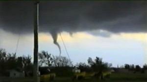
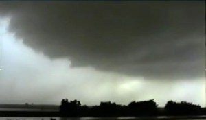
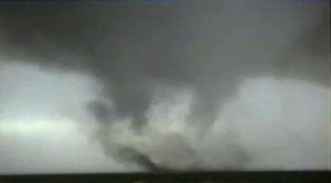
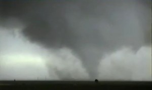
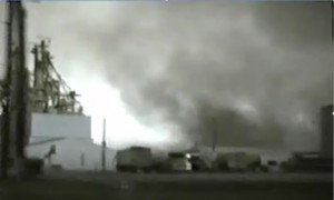
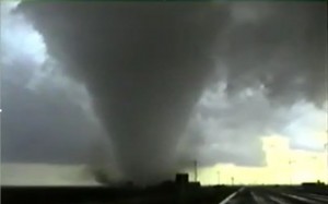
This day had descent vertical windshear with modest instability. The warm sector east of the dryline mixed fairly deep and a line of high based storms went up northwest of Clovis. A stronger storm developed near Bovina, TX and moved northeast and moved north of an outflow boundary. The storm went crazy when it hit the deeper moisture and better low-level shear north of the outflow boundary. We were 2 miles southwest of Friona and watch the low-level meso start lowering and rotating like a top. Shortly a tornado touched down just to our south. We headed northeast on US 60 through Friona and it looked like the tornado was picking up speed and almost intercepted us on the east side of town ( the road trough Friona actually west to east). While passing the feed lot on the east side of town where the inflow into the tornado was so strong that probe 1 took a while to accelerate up 60 MPH to escape the tornado. We stopped northeast of town and watched the first tornado wrap up into a stronger new tornado north of town forming a 1 mile wide tornado. After the Friona tornado we headed south to south of Dimmitt where we intercepted another supercell. The wall cloud was rotating rapidly and shortly a tornado touched the ground. We moved north and watch the funnel grow into a large stove pipe that crossed the road a mile to our south, then move northeast in a field to our east. The tornado finally roped out northest of Dimmitt. The storm weakened after it moved east-northeast of Dimmitt.
Friona, TX tornado
Dimmitt, TX tornado
Supercells: 2
Tornadoes: 2
Chased with VORTEX-95
_______________________________________________________________
June 3:
The target Today was the dryline west-southwest of AMA. A high based storm went up and became outflow dominate. There was a tornadic supercell near the riple point north DHT. We targeted a second storm to our southeast near Silverton, Tx but this storm was also a big HP supercell. After following it east for an hour we left and headed back to NSSL.
Supercells: 2
Tornado: 0
Chased with VORTEX-95
_______________________________________________________________
June 8:
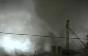
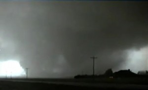
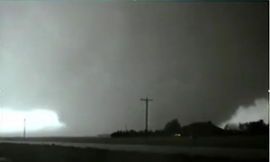
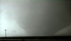
This day had good zonal mid-level flow across the TX Panhandle with lower 70 dewpoints east of the dryline. MLCAPES were between 5 and 6,000 J/KG. VORTEX targeted the triple point across the eastern OK PNHDL where a storm developed and started to look good until it moved north of the surface warm front. It took a while for the FC to believe our reports that this storm was elevated and we should head southwest towards the dryline. On our drive southwest on HWY 60 we blew off the supercell that had produced the Pampa, TX tornadoes earlier. It looked a bit elevated and we targeted a new storm south of I-40 east of AMA. This storm moved northeast towards Kellerville, TX where we saw a large stove pipe tornado while heading north towards Kellerville, then we followed this tornado northeast where it roped out north of Mobeetie. A second supercell was developing north of Wheeler. We headed south to Briscoe where we were already getting into the core of the storm north of Wheeler. We took HWY 1046 towards Allison. 6 miles east of Briscoe we broke out of the core and saw a large wedge tornado to our southwest. We parked just west of Allison and watched this large tornado move northeast and then north a couple miles to our west. We placed turtles down thinking the tornado would move northeast, however the tornado took a left turn around the low-level mesocyclone and missed our turtle deployment. We moved north of Allison and watched the tornado rope out along the OK and TX state line. When I got home I realized my 8mm tape was defective and we had no footage of the photogenic tornadoes.
Supercells: 4
Tornadoes: 2
_______________________________________________________________
June 9:
There was still good mid and upper flow and dryline was going to push east into western OK. There was good CAPE but the main wave was lifting northeast into KS. Got on a storm west of Ft. Cobb, OK. A tornado was reported but as we followed the supercell east it fell apart east of FT.Cobb. No other storms went up, so we headed back to NSSL. This would be the last outing of VORTEX-95 and the end of the two year VORTEX-94 & VORTEX-95 research projects.
Supercell: 1
Tornado: 0
Chased with VORTEX-95 for the last time.
_______________________________________________________________
July 1:
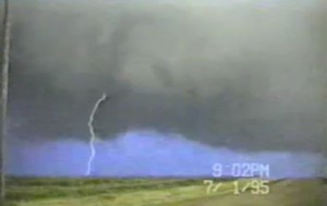
Chased dryline with southwesterly flow aloft across the northern TX PNHLD. Got on a nice supercell east of Straford, TX.
Supercell: 1
Tornado: 0
Chased with Jon Finch.
_______________________________________________________________
July 2:
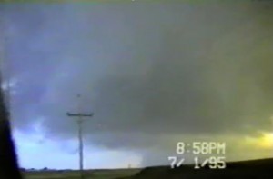
Great High Plains Supercell developed northwest of Dumas, TX and move southeast to Panhandle, TX. There was funnel cloud near Dumas.
Supercell: 1
Tornado: 0
Chased with Jon Finch.
_______________________________________________________________
July 3:
Chased an HP supercell northeast of ICT, the upper winds were only around 30 KTS at 250MB.
Supercell: 1
Tornado: 0
Chased with Jon Finch`
_______________________________________________________________
July 4:
Intercepted a nice supercell near Dennison, KS that had a nice rotating wall cloud. Meanwhile northwest of our storm near Willis, KS another supercell was producing a tornado. We followed a line of scattered storms southward and ran into a supercell that produced a brief tornado near Fontana, KS.
Supercells: 3
Tornado: 1
Chased with Jon Finch.
_______________________________________________________________
September 29:
The lead shortwave trough was more intense and we sat around southeast NE, then went after a storm that went up northwest of OAX which was a pulse supercell. Left this outflow storm as it crossed into IA.
Supercell: 1
Tornado: 1
Chased with Sean Lyon and Jon Finch.
_______________________________________________________________
September 30:
Next wave came out too fast. We got on an HP supercell over southeast IA but got sick of chasing it at 5PM. Called off the chase and drove south to take a look at the tornado damage in Moberly, MO from July 4th of 1995. Then we headed back to Norman.
Supercell: 1
Tornado: 0
Chased with Sean Lyon and Jon Finch.
_______________________________________________________________
December 10:
Intense upper level trough lift northeast into OK and TX. Sharp dryline extended from triple point northwest of Sprinfield, MO, then south across western OK. The cap was strong and the only storm to develop was at the triple point north of SGF. We were in northeast OK and by the time we reached the supercell it had produced a tornado. This supercell transformed from a classic to an HP. We followed this outflow storm for over an hour before giving up and heading back to Norman.
Supercell 1:
Tornado: 0
Chased with Sean Lyon and Jon Finch.
_______________________________________________________________
Supercells: 39
Tornadoes: 11
Bill’s count 44.

