April 2:
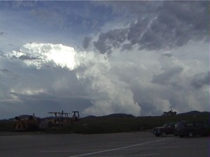
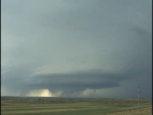
Chased southwest OK where there was good vertical windshear and moderate CAPE ahead of the dryline. I got on one supercell north of Elk City and followed it east to Sayer, OK. I intercepted a 2nd supercell near Vinson, OK.
Supercell: 2
Torando: 0
Chased with John Lipe.
_______________________________________________________________
April 18:
Chased a supercell near Littlefield, TX. This was a marginal day and the nice storm gusted out as it moved southeast towards Lubbock.
Supercell: 1
Tornado: 0
Chased alone.
_______________________________________________________________
April 30:
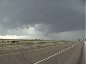
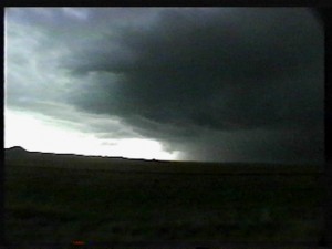
Decent instability and shear across southeast NM. Intercepted a nice supercell near Hobbs with a wall cloud that had good rotation. There was no tornado with this storm. A supercell 25 miles north of me did produce a tornado.
Supercell: 1
Tornado: 0
Chased alone.
_______________________________________________________________
May 1:
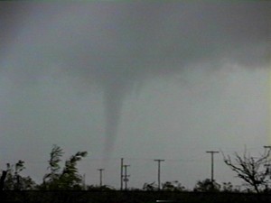
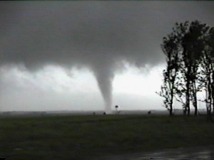
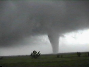
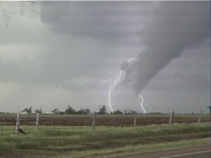
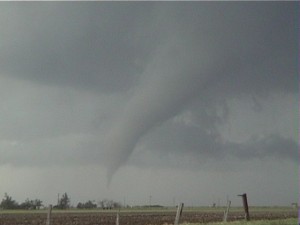
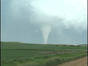
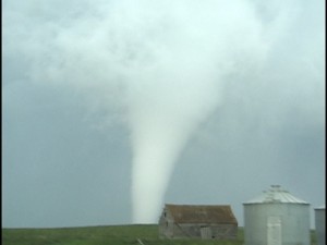
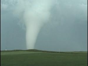
Met up with my best friend David Gold to chase the far southwest south plains of TX. We Got on a supercell near the southeast NM border with TX, then got an a second supercell near Goldsmith, TX produced an nice cone tornado. We kept following this storm for an hour or so but it became an outflow piece of junk.
Supercell: 2
Tornado: 1
Chased with David Gold.
_______________________________________________________________
May 3:
I got off a midnight and spent a couple hours looking at model data. Look like a good chance of tornadic supercells across western OK ahead of the dryline. I thought going to AMA then east on I-40 would give me the fastest route of getting into OK. I was getting down on the day when I was in AMA and the high clouds were so thick it felt cold out. I gave my friend David Gold a call for some observations. He told me skies were clear ahead of the dryline across southwest OK and north TX. I blasted east and when I got to Elk City I could see two distance supercell to my southeast. I went south to HYW 152 at Weathford and got to see my first tornado northwest of Anadarko, then saw the tornado rope out. A second tornado formed when I was in Cogar, OK and then I went east to get closer. The tornado started to move northwest towards me and Jon Finch was behind me. We were both backing up as the tornado was roping out right in front of us. I quickly went north of Union City and made north with a sub vortex crew before a state trooper closed US81. The supercell produced a nice stove pipe tornado north of I-40, between El Reno and Yukon. This tornado stayed on the ground for 4 or 5 miles before roping out at sunset. Another tornado formed and turned into a huge wedge west of Guthrie, OK. Electric poles blocked me from going north on Broadway street, so I headed east to I-35 where I saw the wedge moving north, just west of I-35. It became more rain-wrapped so I left it and went back to Lubbock. On the west side of OKC I stopped to get gas and could smell a strong odor of natural gas and I knew if was from the destruction of the Tornado that hit Moore and southeast OKC. My video camera malfunctioned just after I got the tornado southeast of Cogar, OK.
Supercell: 3 ( 2 of which I saw from a distance).
Tornadoes: 4
Chased alone.
_______________________________________________________________
May 16:
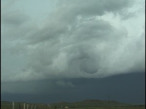
Chased western OK along the dryline and got on a nice LP supercell that was a bit high based. This storm produced a funnel that extended half way down to the ground. I could not see any dust at the surface, so I cannot count it as a tornado.
Supercell: 1
Tornado: 0
Chased alone.
_______________________________________________________________
May 20:
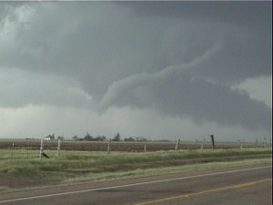
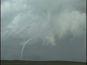
The vertical windshear and instability looked good ahead of the dryline across the central TX panhnadle. I got on a supercell thunderstorm southwest of Canyon and followed it to near Groom. Just north of Groom there was a large funnel that roped out and produced a brief tornado. There was just enough rotating dust to call it a tornado. I was kind of disappointed that the funnel did not produce a stronger and longer lasting tornado at the surface.
Supercell: 1
Tornado:1
Chased alone.
_____________________________________________________________
June 3:
The best area Today was across northwest Kansas along the dryline. I was working mids, so I could not chase that far north, so I had to play the dryline across the TX PNHDL. I met up with David who was taking out Tour 4. They got a late start and could not make it up to northwest KS. We sat around at the big cross near Groom watching CU bubble and finally a storm broke the CAP and became a brief supercell. Just as the storm was looking good it started to fizzle and then became an orphan anvil. Roger SLT group got on the road earlier and did see a nice tornado near Ameana, KS
Supercell: 1
T0rnado: 0
Chased alone but met up with David and his tour group.
_______________________________________________________________
June 14:
Chased with David Gold and SLT tour 4. Intercepted an HP supercell with golf ball size hail. The hail was six inches deep with drifts of a foot deep. This was northwest of Scotts Bluff, NE.
Supercell: 1
Tornado: 0
Chased with David Gold and SLT.
_______________________________________________________________
June 17:
I continue with SLT tour 4. Today we got on a nice supercell thunderstorm near Gillette, WY that had a real nice rapidly rotating wall cloud as it moved southeast.
Supercell: 1
Torando: 0
Chased with David Gold and SLT tour 4.
_______________________________________________________________
Jun 19:
Got on a nice supercell at sunset northeast of Devils Tower, WY. We followed this storm northeast into the Black Hills where the storm exploded and had great structure. The lightning show over the Black Hills was amazing!
Supercells: 2
Tornado: 0
Chased with David Gold and SLT’s tour 4.
_______________________________________________________________
June 20:
I thought on this day we would only see HP supercells due the weak flow, under 30 KTS at 300 MB. At first we did get on a nice HP storm with good structure across east central MT. Then a new storm went up across southeast MT northwest of Ollie, MT. This storm was a classic supercell and moved south-southeast where it produced a nice cone tornado west and southwest of Ollie, MT for about 20 minutes before a nice rope out.
Supercells: 2
Tornado: 1
Chased with David Gold and SLT’s tour 4.
_______________________________________________________________
June 21:
This was our last chase day on Tour 4 and my first Canadian storm chase. The vertical winshear looked good and with good instability across southern SK, Canada. We targeted the Moose Jaw area and saw a nice supercell go up 25 miles northwest of Moose Jaw. We tried to chase this storm but it was moving northeast at 45 MPH. We left this storm and targeted new storms moving out of MT. By the time we got south to these storms at sunset they had turned into a big MCS. We had to drive at night on this narrow highway through an MCS. The Canadian truck drivers were driving very fast on these narrow roads and were hugging the center line. On a few occasions I came very close to these trucks since I was hugging the right side of the road with no shoulder. We heard reports that some of the storms earlier this day produced tornadoes in northeast MT.
Supercells: 2
Tornado: 0
Chases with David Gold and SLT’s tour 4.
_________________________________________
Supercells: 24
Tornadoes: 7
Bill’s count: 65.

