March 22:
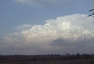
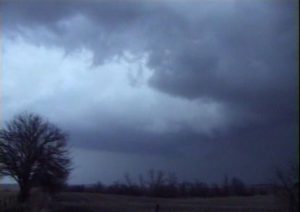
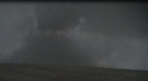
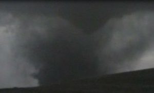
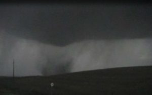
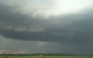
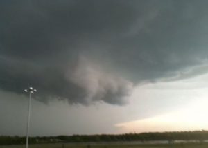
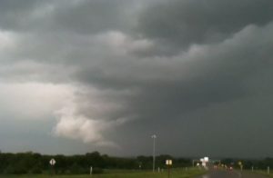
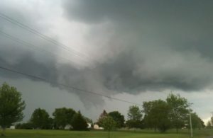
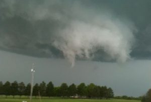
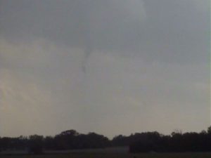
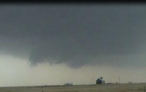
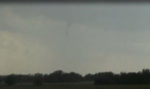
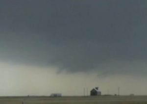
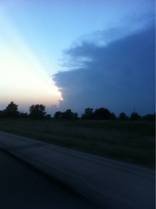
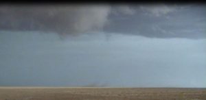
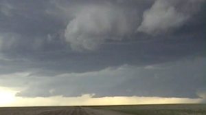
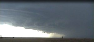
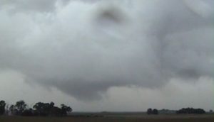
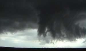
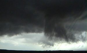
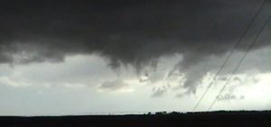
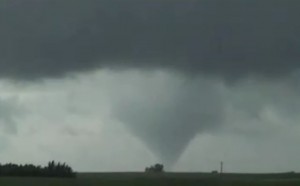
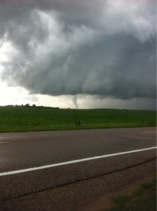
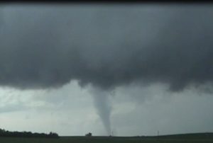
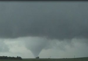
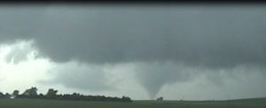
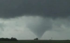
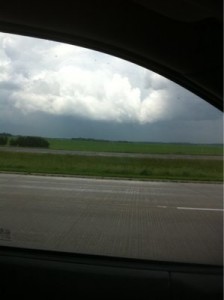
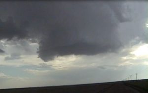
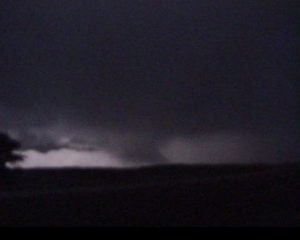
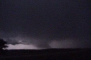
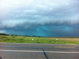
I got a late start and got on one high based storm in far southwest IA. Left this storm for a better looking supercell well to my northeast. I was 16 miles south-southwest of Creston, IA and got to see a distant tornado. The storm had nice structure. A second supercell developed right in front of me and followed it to I-35. It had a nice wall cloud but did not produce a tornado. I gave up after sunset.
Supercells: 2
Tornado: 1
Chased alone.
_______________________________________________________________
April 9:
I intercepted a supercell that developed north of Oakland, NE and followed it east-northeast across the MO river into IA. Luckily the bridge at Decatur, NE was close by for the river crossing. As soon as I crossed the river I looked to my northwest and saw a brief tornado. I got to see two more tornadoes a brief one southeast of Onawa, IA and one that lasted several minutes east of Castana, IA. I drove under a big rotating wall cloud southwest of Mapleton, IA , then watched a substantial tornado develop on or northeast of Mapleton, IA. I was about 1 mile east of the Mapleton and was not sure if the tornado was hitting town or not. But evidently it did. After the tornado ended I followed the supercell east. I may have seen a large tornado near Highway 59, but I could not confirm it. I decided to call it quits since I had to work at 8 AM and I had a 4 hour drive staring me in the face.
Supercell: 1
Tornadoes: 4
Chased alone.
______________________________________________________________
May 21:
This day seem a bit marginal due to late moisture return and weak low-level vertical windshear. But since I was off and went off after a storm that was developing out near Eskridge, KS. I followed this storm northeast and initially it was a high based supercell but the base lowered as it got to Auburn. It had a rapidly rotating wall cloud as it moved northeast of Auburn and then across southern Topeka. I did not see any tornado, just a lot of strong RFD winds causing damage on 53rd street. The wall cloud passed northeast on the southeast side of Topeka. I ran into gulf ball size hail 1 miles southeast of the NWS office on HWY 4. I followed this wall cloud to Lake Perry where I saw a brief tornado across the lake. I then followed this storm northeast to Leavenworth, KS where it finally became outflow dominate. A new storm went up along the dryline in Lyon County and went on to produce multiple tornadoes. I was too far northeast to make it down to this storm.
Supercell:1
Torando:1
Chased alone.
______________________________________________________________
May 22:
Today, I wanted to play along the dryline across southern OK where surface winds were backed. I did not like the front with veered winds across southeast KS. As we moved east of Ardmore, OK we noticed the nice CU field dissipating, a sign of an unbreakable CAP, so we headed northeast to a new storm that developed southeast of Tulsa. We got northeast of Tahlequa, OK and ran into an over grown swamp with wall to wall trees near Scraper, OK. We could see a supercell thunderstorm to our north and finally we came to Oaks Highway, and get off of HWY 10. We got to see the final minute of the tornado 2 miles north of Oaks, just southwest of Chewey, OK. We were about 7 miles away. The big HP storm over SE KS along the front turned into a classic supercell and produced the Joplin tornado.
Supercell: 1
Tornado: 1
Chased with Nancy.
______________________________________________________________
May 23:
This was the day before the big day on May 24. My only day off was on May 23. Southwest upper flow at 500mb would increase to 30 KTS. Deeper gulf moisture was advecting northward across central and western OK. A dryline was moving east across western OK. It looked as if the instability and vertical windshear would be sufficient for supercell thunderstorms and possible a tornado or two. I got on a storm near Fairview, this storm was high based and when a second storm went up to my southeast, I went after it. This storm was also a big high based. This storm produced a weak rope tornado southwest of Okenee, then totally roped out. This storm became outflow dominate, so I went farther southeast where a new storm went up. I got on a supercell thunderstorms with a low-level mesocyclone to the southwest of Okarche, OK. This storm produced a few funnel clouds but weakened as it moved east and became more of an HP supercell.
Tornado: 1.
Supercells: 2.
Chased alone.
______________________________________________________________
June 17:
We left Kearney, NE after thinking the start of my chase vacation that there was an upslope play across western NE but the deeper moisture will never make it, so we decided to play along the warn front across southwest IA. We stopped for lunch at Brewmasters in OMA during the early afternoon. It looked too capped along the warm front and did not want to play high based showers farther north, so we decided to make a mad dash to the dryline across south central KS. We were about 45 minutes too late to a supercell near McPherson right after sunset. A tornado warning was issued on this storm while we were about 40 miles to the southeast.
Supercell: 1
Torando: 0
Chased with Nancy.
______________________________________________________________
June 18:
This was a driving day to get back on the high plains. There was a slight chance for severe thunderstorms given marginal moisture and weak shear. We got on a high based outflow dominate storm that had mid level rotation southwest of Goodland in far eastern CO. Once this storm lost it’s out flow we headed back to Goodland, KS for dinner then north to our hotel in NE.
Supercell: 1
Tornado: 0
Chased with Nancy.
______________________________________________________________
June 19:
We left hotel in Big Spring, NE for a play along the northeast CO border with NE. We waited for a while in Sterling, CO but saw TCU going up to our east, we headed west of Benkleman, NE and got on a storm just south of town. This storm had a rapidly rotating wall cloud but seem to get occluded. We saw another supercell go up east of McCook. The supercell produced a funnel cloud east of Beaver City and we followed this storm east through the night. Nice structure with good lightning. We called the chase off south of York, then went north to our hotel.
Supercell:2
Tornado:0
Chased with Nancy.
______________________________________________________________
June 20:
This was a tough forecast decision since there were multiple areas from the triple point southwest of Kearney and along the dryline and warm front. There was already a long live tornadic supercell through the morning hours back along the first occluded triple point across north central KS. When I saw the 70 degree dewpoint at Kearney, I wanted to play the new triple point somewhere north of Kearney. We took Highway 2 from GRI west to a developing line of updrafts. I punched through the updrafts and got my front windshield cracked by a baseball size hail stone. Then off to my west was an updraft with an RFD wrapped around and a huge cone torando that was just east of Pleasonton, NE. We saw a couple more weak tornadoes but did not realize another updraft was just to our northwest that produced another large tornado we missed out on. We tried to make it east to the tornadic supercell west of York but by the time we go on it the tornado had dissipated.
Supercells: 3
Torandoes: 3
Chased with Nancy.
______________________________________________________________
June 21:
The environment look good for supercells across southeast MN. We got on an early storm southwest of Rochester, MN. This storm had a nice wall cloud and occasional funnels. We got on a second more HP storm across the MS river in western WI. The chase country was not very good, a lot of hills and trees. June 22 and 23rd were down days, so I took Nancy to all the toursit hot spots across SD, including Corn Maize, The Bad Lands, Wall Drug, Mt. Rushmore and Devils Tower.
Supercell: 2
Tornado: 0
Chased with Nancy.
______________________________________________________________
June 24:
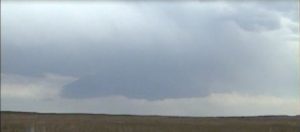
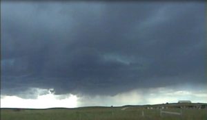
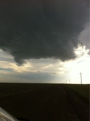
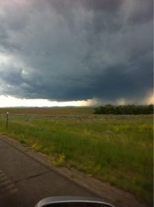
We intercepted a supercell near Glendo, WY. This storm was good for an hour or two then started to weaken. We intercepted another supercell north of Kimball, NE.
Supercells: 2
Tornado: 0
Chased with Nancy.
______________________________________________________________
June 25:
After watching high based storms out near Lusk, WY, we followed them east to Chadron, then east towards Valentine, NE. One storm became a supercell after sunset and looked interesting at times but Cherry county has no roads.
Supercell: 1
Tornado: 0
Chased with Nancy.
______________________________________________________________
June 26:
Watched a slow moving storm transform into an HP supercell between Valentine, NE and Thedford, NE on US 83 looking west.
Supercell: 1
Tornadoes: 0
Chased with Nancy.
____________________________________________
Supercells: 13 Tornadoes: 11
Bill’s count: 142.

