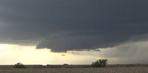
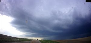
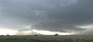
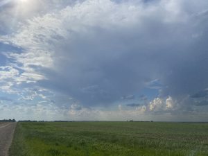
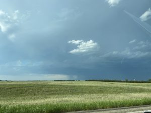
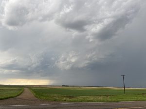
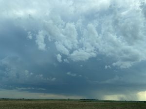
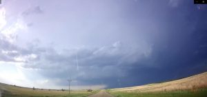
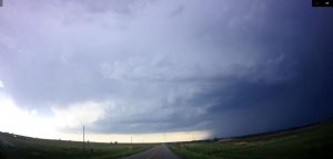
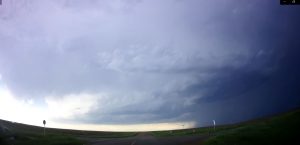
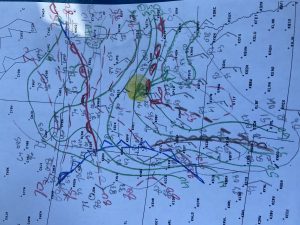
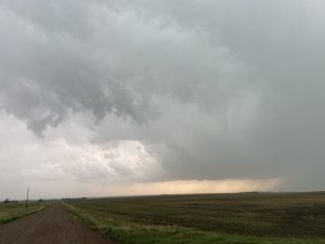
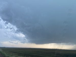
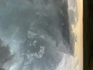
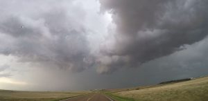
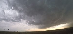
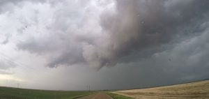
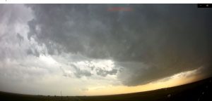
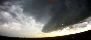
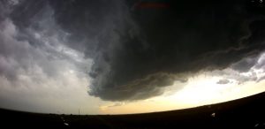
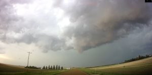
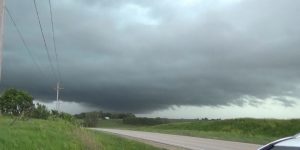
Here are my storm chases from the 2021 season. Not the best for supercells and tornadoes.
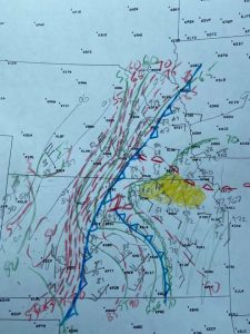
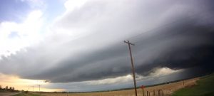
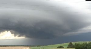
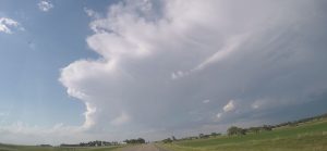
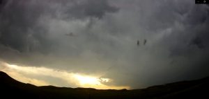
May 8th: Chased a marginal day with Brian Baerg. The dewpoints were only in the mid to upper 50s but the vertical wind shear would support supercells. We decided to play the triple point in south central NE. We got on a storm but it quickly went HP and fell behind it’s outflow boundary. We were hoping it would catch back up to the outflow and do something interesting. It turned into a big dusty storm across Republic County. We targeted a supercell that developed southwest of SLN but we could see a shelf cloud ahead of the updraft, so we decided to work back in front of the storm but it looked very HPish at night. So we decided to head back to Topeka.
______________________________________________________________
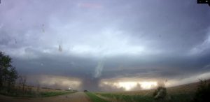
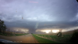
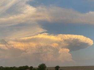
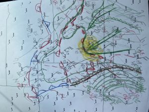
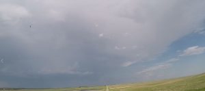
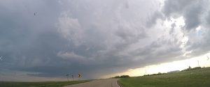
May 26: I targeted west central KS for supercells and possible tornadoes. I left way too late for the mid to late supercells that developed north of Colby and moved northeast to the NE border producing tornadoes northwest of HLC around 11 AM. Hung around Scott City, waiting for a storm to break the cap. Storm were already going up but the best environment with low-leveled curved hodographs and maximum MLCAPE.were located just west of me, so I stuck to my forecast, then a nice storm went up along the dryline. I met Roger and Caryn Hill at the gas station and they were excited about our developing storm. Well this storm looked to be getting mid level rotation and the low-levels looked great. Then it started weakening and became higher based. It look like the storm came off the dryline into a higher capping inversion. This storm was really falling apart, so I blasted north to try and get the storms north of Colby. Some these supercells were producing tornadoes These storms had good structure but no longer produced tornadoes by the time I intercepted them.
______________________________________________________________
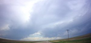
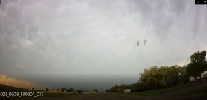
June 6th: Started my chase vacation by driving northwest into northeast CO and southwest NE to play some marginal storms to get into position for the remainder of the week. Got on a few high based storms along the NE and CO border, then moved north after checking out these LP storms.
______________________________________________________________
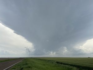
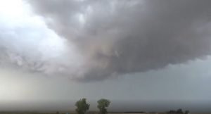
June 7th: Chased a line of back building supercells from northeast of Pallock, SD to the ND border. Another tail end storm blew up with great structure, so I raced back to the southwest. The wall cloud was rotating rapidly but it never produced a tornado.
______________________________________________________________
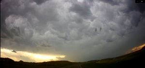
June 8th: Chased storms southwest of Williston, ND across east central MT. A lot of bluffs in and around the river valleys. Not the greatest chasing terrain, but got on a few structured supercells and did see one distant wall cloud that looked to be a funnel cloud. But never did see it touch down.
______________________________________________________________
June 9th: Chased a QLCS west of Williston, ND in eastern MT, and followed it east to my motel. In Williston, ND. There were some rain-wrapped meso-vortices that had tornado warnings to the north and southeast of Williston, SD.
______________________________________________________________
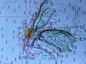
June 10th: Played what look to be the better forecast hodographs across northeast MT, and the RAP SPC tornado probability forecast had 20 probs up in northeast MT. Also, I did not like the environment farther south, due to the 2 pm observations with two stations in southeast and east central MT with temperatures above 100 degrees, so I decided to play farther northwest.. However, it seems the instability waned across northeast, MT. 3 nice supercells went up in northeast MT but as they moved northeast, they weakened. The last once turned into a nice LP and had a rotating meso but died when it moved into Canada. I could see the lone supercell 80 miles to my south but there were no direct roadways to get down there. So, I had to got down to Williston, ND. When I was driving south, an nice storm went up southeast of Williston, so I chased after it but it weakened. Then I was stuck north of this large risivore lake, so I had to go east and then south, then west around the lake where another supercell was located southwest of Williston. By the time I got west, a line of storms began forming. The lead supercell had a night wall cloud right after sunset and I followed it east but then it weakened, so now I had to go back west to my main south option to go south to I-94. The QLCS was intensifying an there were a lot of tornado warnings for what looked to be embedded supercells in the line. Every once in a while I would pull off on a west facing side road and could see great inflow features and lowering along the line. I read a reports that there were 100 MPH winds in this QLCS, so I raced down to I-94 as the lead gust front was just about to over take me. On I-94, I raced east and little storms were going up along the leading OFB and I got a few nickel size hail as the updrafts raced northwest and merged into the QLCS. I got some distance ahead of the QLCS but I had to dive south to east of Aberdeen, SD and that is where the QLCS caught me and I got 70 MPH winds and did see a lowering on the north side of the bow echo. I drove all the way back to Topeka but I had one last chase.
______________________________________________________
June 11th: In the mid morning hours while driving across southeast NE, I ran into a morning supercell thunderstorm off of US75 on my long drive home. I west west and my old work friend from Topeka, who is now the SOO in OAX, Brian Barjenbrach called me to ask what I was viewing on the storm. I told him it was outflow dominant and was trending HP. He said that was what his radar interpretation was. So, I finished my long journey home from south of Williston, ND to Topeka, KS in time to celebrate my Wife’s Birthday. So I got to see one last supercell.

