May 22:
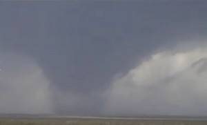
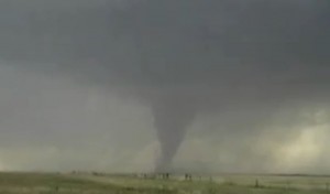
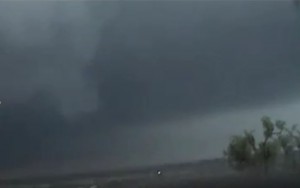
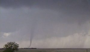
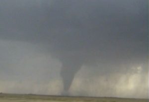
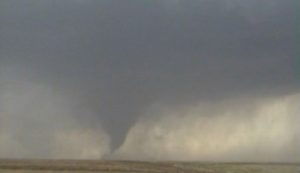
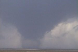
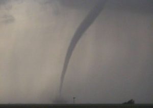
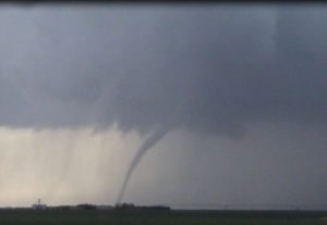
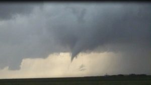
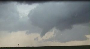
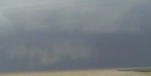
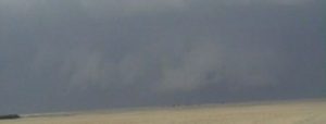
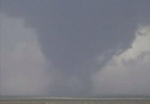
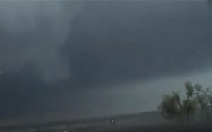
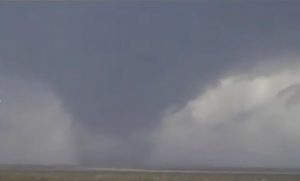
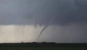
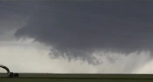
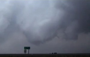
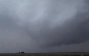
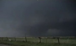
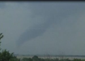
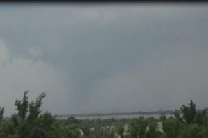
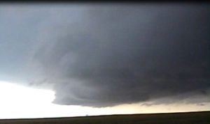
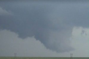
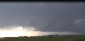
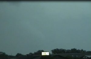
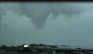
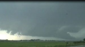
This was a great day with good instability and good vertical windshear. This was the first day of my chase vacation. I got off a midnight chase and stayed up after work to make my forecast areas. I decided to go to northwest KS along the surface dryline. We intercepted a storm east of Colby and followed it north-northeast towards Oberlin but it was difficult to stay up with this supercell, so I target another storm developing to our southwest. As we approached I-70 we could see the base of this supercell to our south-southwest. Then all of a sudden we spotted a wispy looking funnel, the funnel then touched the ground and remained on the ground as a tornado for the next 20 minutes. The supercell occluded and produced a second tornado. Both tornadoes were on the ground at the same time. Eventually the first tornado roped out. The second tornado then dissipated 10 minutes later. The supercell occuluded once again west of Hoxie, KS and this tornado grew into a 1/2 wide tornado. Again the supercell occuluded and a new tornado crossed Highway 23, 4 miles south of Leoville. We continued to follow the storm to the north-northeast but the final tornado was very brief and we never observed another tornado.
Supercells: 2
Tornadoes: 4
Chased with Nancy.
_______________________________________________________________
May 23:
We intercepted a supercell thunderstorm west of Dighton. It had a nice rotating wall cloud that produced a weak tornado west and northwest of Dighton. As the storm moved north-northeast we followed it north to Shields where there was not a good northeast option. It looked as if the storm had become an HP and was moving in to a bank of low clouds. I had thought the storm had crossed the warm front and was becoming elevated. We had no cellular data so I was going visual the entire chase. We went east on Highway 4 to Ransom. I was going to go north on US 285 to try to get back in front of the storm but I saw a nice Isolated supercell to my far southwest and knew it was moving into a good environment just south and along the surface warm front. We decided to head south on 285 to intercept the new better looking storm. We got on the storm northwest of Jetmore and ran into a hoard of other chaser. The road we were on reminded me of a Wal-Mart parking lot on a Saturday afternoon. Some of these people just seemed totally clueless and did not know where to look on the storm for the updraft base and wall cloud. We followed this storm northeast and ran into some road holes, so we could not keep up with the storm. We heard about a large tornado occurring with the storm we left when it approached Quinter, then moved across I-70. If I would have went north on HWY 285, then west on I-70 we would have made it in time to see the large tornado. I guess that was where the surface warm front was locate. We finally caught up to our second storm southwest of Hill City but it looked all HP. I heard we missed a couple of tornadoes while the storm was in the road hole but there were some dirt back roads.
Supercells: 2
Tornado: 1
Chased with Nancy. Met up with Sean Lyon.
_____________________________________________________________
May 24:
We intercepted a supercell that developed east of Garber, OK. We watched it produce 2 tornadoes to our northwest, west of I-35 at the intersection of US 412. A rainy RFD wrapped around the storm but heard one of the OKC helicopter reporters, report a large tornado near Yearling, OK. We could not see it from our vantage point. The supercell turned into a big HP storm as it move northeast.
Supercell: 1
Tornadoes: 2
Chased with Nancy.
_______________________________________________________________
May 25:
We were on our way to Colby to see a supercell that was on the surface warmfront, nearly stationary. However a storm developed right in front of us near Silica, KS. We decided to follow it and saw a couple weak tornadoes near Langley, KS.
Supercell: 1
Tornadoes: 2
Chased with Nancy.
______________________________________________________________
May 26:
We intercepted two supercells, one northwest of Liberal and a second southwest of of DDC. Both storms became HP and the structure was not the greatest.
Supercells: 2
Tornadoes: 0
Chase with Nancy
_______________________________________________________________
May 29:
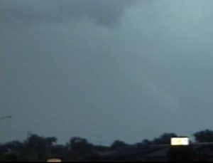
My wife Nancy and I observed a rain-wrapped supercell thunderstorm in west central Nebraska during the late afternoon of May 29th that tracked east along I-80 into the east central part of the state. We began northeast of the updraft but quickly lost interest in this outflow dominate storm. I knew another blob of convection was developing across northwest Kansas. I assumed this storm was also outflow dominate because the vertical wind shear in Kansas was forecast to be even weaker than in the environment across central Nebraska. We battled to head south of the HP (High Precipitation) supercell but had no cell phone connection in rural Nebraska, and thus had no radar data to download. We broke south of I-80 at York, NE and Nancy was somehow able to download a radar image to her Blackberry. She showed it to me, and I was surprised to see that the radar reflectivity depicted a classic supercell with a nice hook echo. I told her that this supercell probably had been producing classic tornadoes for quite some time in central Kansas and that it was now the new target storm. Unfortunately, the sun was setting as we drove south to the Kansas border. It was dark by the time we made it into northern Republic County on US Highway 81. Nancy still periodically downloaded radar data to her Blackberry. The storm reflectivity maintained the classic supercell look and featured a nice inflow notch on the southeast side of the storm and a hook appendage on the southwest side of the updraft. I extrapolated the storm’s movement based on warning reports we heard from the local radio station in Bellville. I deduced the storm was going to move northeast across eastern Jewell County into southwest Republic County within the next 45 minutes. We headed south of Belleville on US Highway 81, then west on State Highway 148. We totally lost cell phone connection at that point and were again left without access to radar data and was unsure if the storm had morphed into an HP (high precipitation) supercell. We approached the Republic/Jewell County border, and I began to see a line of stratus—and again thought that the storm had become outflow dominant. We could see a lot of lightning to the north-northwest and knew that the storm was moving faster than my forecasted trajectory. We therefore turned around and headed east to a paved county road that went north towards Courtland to get in place to observe the storm, but also remain safe. Chasing an HP supercell at night would be incredibly dangerous, and even with years of observing experience opted not to take any chances and maintain a safe distance from the storm. We looked northwestward and began to see the updraft base and a wall cloud illuminated by the lightning. There were no visible rain curtains around the updraft. I knew that we were now following a classic supercell thunderstorm. We drove northward a few more miles, and lightning began to illuminate a large cone shape. At first, we thought we may have been looking at a large wall cloud. We were mistaken though, and realized the lightning illuminated a one quarter mile wide tornado! We could see the debris cloud and therefore knew it was a tornado. We headed east on a county road south of Scandia, while the large tornado tracked east-northeast across west central Republic County. I attempted to call the National Weather Service in Topeka, but was unfortunately still out of cell phone range. But, the local radio station was broadcasting that spotters reported a large tornado, so we knew the information had reached the NWS. We stayed ahead of the storm producing the large tornado as we drove east, to the north of Bellville. We turned northward onto US Highway 81. The tornado was in sight to our northwest, albeit sporadically since it was nighttime. The tornado crossed the road a distance from us. The supercell thunderstorm updraft occluded well to our north. A new wall cloud formed on the east side of US Highway 81 around five miles north of Bellville. The large tornado continued to track eastward, and a second tornado formed under the new wall cloud. Ample lightning flashes northeast of both updrafts offered perfect back-lighting to see both tornadoes. The second tornado grew wider as it moved off to the northeast, away from our location. The original tornado began to dissipate as it moved across the highway. Once the original, now occluded tornado and moved east of the highway away from our path, we continued north. We watched as the second tornado grew to about one quarter mile wide. The first tornado dissipated, but did not rope out. We traveled north a few more miles, but lost the view of the second tornado to our east. We tried to look for a way to travel east while staying south of the thunderstorm core, but most roadways were filled with mud. We decided it was not worth getting stuck in the mud on one of the county dirt roads. The radio broadcasted reports of strong damaging winds associated with a squall line about 30 miles west of what had been our location, which was moving east. At that point, we decided to drop south and east on our way back home to Topeka to stay away from the potentially damaging winds. I was relieved to hear there were no serious injuries or fatalities with this storm. The NWS-Topeka issued several tornado warnings for this dangerous tornadic supercell. This was the most satisfying night time storm chase I’d experienced since my first storm chase in the plains on March 26, 1991 in north central Oklahoma.
Unfortunately I do not have any night pictures of the big barrel tornado and stovepipe tornadoes in Republic county. I will post some of the HP supercell pictures later.
Supercells: 2
Tornadoes: 4
Chased with Nancy.
A detailed chase route will be posted later:
_______________________________________________________________
May 30:
We got on a developing supercell southeast of Kansas City, MO and followed it east for several hours. This was an HP supercell but had some flanking updrafts that produced wall clouds with a few funnel clouds.
Supercell: 1
Torando: 0
Chased with Nancy.
_______________________________________________________________
May 31:
This was marginal day but there was an outlfow boundary across northern OK. We got on a storm west of Pawhuska, OK. It became a big outflow storm that had some HP supercell characteristic. But the structure was not very exciting.
Supercell: 1
Tornado: 0
Chased with Nancy.
_______________________________________________________________
Supercells: 12
Tornadoes: 13
Bill’s count: 121.


