March 27:
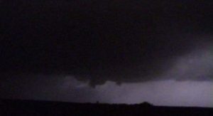
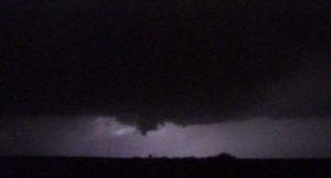
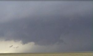
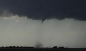
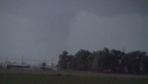
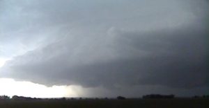
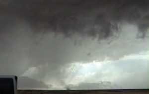
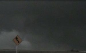
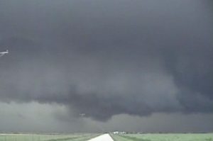
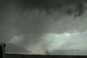
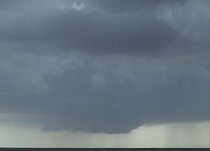
I got a late start since I was on Midnight shifts to my target area west of Wichita. The dryline was a bit farther west and I got on a supercell west of Medicine lodge. Other storms were forming north and south along the dryline, then a squall line formed and tried to play the tail end supercell near Anthony, KS. The Tornadic supercells were in northwest OK, too far for me to play since I had another Midnight shift.
Supercells: 2
Tornado: 0
Chased alone.
_______________________________________________________________
April 20:
I got on an HP supercell near Yates Center, KS Followed it east for an hour then headed back to Topeka.
Supercell: 1
Tornado: 0
Chased with Shawn Byrne.
_______________________________________________________________
April 21:
Chased a classic supercell northwest of OKC and followed it east across the far north suburbs, then once northeast of OKC, it became an HP supercell.
Supercell: 1
Tornado: 0
Chased alone.
_______________________________________________________________
April 22:
I took my girlfriend Nancy on her first chase! We met up with David near Shawnee, OK and waited for storms to break the CAP. Finally a storm went McCalaster, OK and we followed it east. It looked like a good supercell but too many storms started going up and a cluster of storms developed.
Supercell: 1
Tornado: 0
Chased with Nancy and David Gold.
_______________________________________________________________
April 23:
Our Target was southwest of Wichita Falls, TX. We ended up down be Crowell, TX but CAP would not break. We raced up to the warm front across southwest OK and got on a big HP supercell that move along or just north of the surface warm front.
Supercell: 1
Tornado: 0
Chased with Nancy and David Gold.
_______________________________________________________________
May 9:
Targeted northeast NE along the surface warm front. I got on a classic supercell southeast of Yankton and followed it east into extreme southeast SD. It transformed into an HP supercell, so I left it for a new supercell storm across northeast NE. This storm had a rapidly rotating wall cloud but did not produce a tornado. My classic supercell weakend and became outflow dominate at sunset. Another intense supercell was moving east about 30 miles to my south. I got this supercell and saw a rapidly rotating wall cloud. I thought this storm was going to produce a tornado but it did not. This storm did produce a tornado when it passed near O’Neil, NE.
Supercells: 3
Tornado: 0
Chased alone.
_______________________________________________________________
May 12:
I was limited in my range since I was on Midnights. I played the triple point northwest of ICT but only an HP supercell developed. The best supercells were located west of Medicine Lodge and I tried to get down to see if I could make it. However, it was getting too late and I had to turn around. I missed the supercell that produced large tornadoes when it moved into Harper County. An MCS developed east of ICT and I ran into heavy rainfall northeast of Emporia, KS. My car hydroplaned off of the KS turnpike and I had to call a tow truck to get my car out of the mud. I had to call work to tell them I would be late and needed to take AL.
Supercell: 1
Tornado: 0
Chased alone: 0
_______________________________________________________________
May 24:
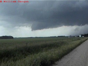
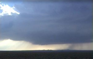
Picked up David Gold from MCI. Today had good vertical windshear and instability ahead of the dryline across southeast NE and northeast KS. We made it west to Marrysville and stopped at a McDonalds to try to use their internet. There was a group of chasers who kept bothering us by asking easy question about where to go. We could not download anything on their wifi, so we left, then these chasers asked if we could follow them and we said no. We saw a storm go up northwest of Marrysville at 1:30 PM and thought this was a dryline storm. Well this storm looked like a classic supercell and we followed it east-northeast into southeast NE. By the time we hit the MO river this storm looked elevated and became more HP. We decided to leave it and look for storms farther southwest. When we got to US 75 in southeast NE, we heard there was a tornadic supercell southeast of Hasting along the true triple point. We wondering if we should blast south and play any other storms developing along the dryline or try to make it to the triple point storm. We decided to try to reach the triple point storm. However, a new storms developed southwest of Topeka, so we headed south on K-99 to MHK then blasted east on I-70. We heard a tornado touched down several miles south of Topeka. By the time we got to Topeka the tornadic storm was already moving south of Lawrence. A second storm developed southwest of Auburn and we intercepted this storm 13 miles south of Topeka. Initially this storm had a nice rotating wall cloud but then it gusted out and turned into a big HP storm.
Supercells: 2
Tornado: 0
Chased with David Gold.
_______________________________________________________________
June 9:
This was the first day of my chase vacation. My target area was across northeast CO. I met up with David Gold and SLT tour 4 at DIA and we caravan together. We got on a storm just northeast of DIA and it turned into a big HP storm. New updrafts will go up on the HP storm’s ouflow and the HP supercell just kept growing larger. We decided to stay on paved roads while Roger Hill with SLT tour 5 went on dirt roads and was able to see a brief tornado with one of these new updrafts feeding into the big HP supercell. We to on another big HP supercell and got close to a bit rain-wrapped meso that may have had a strong tornado wrapped up in the rain near Sterling, CO. We called it quits after it got dark.
Supercells: 2
Tornado: 0
Chased alone but caravan with David Gold and SLT’s tour 4.
_______________________________________________________________
June 10:
This was the second day of my chase vacation and I met up with David Gold and SLT tour 4 in North Platte, NE for lunch. I did a surface analysis and saw mid 6o dewpoints advecting northwest into the southeast NE Panhandle. We took off at 2 PM and hit the road. As we were traveling west on I-80, we could see a storm developing. As I go closer I could see a nice wall cloud on the storm and exit off I-80 at Brule, NE onto US 30. Once on US30 I spotted a tornado moving from south to north, so I pulled over and watch the tornado to my west. Once it got north of the road I got west to see the first tornado rope out. The storm occluded and a much larger tornado formed to my north-northwest. I got on a north dirt road and watch as the tornado became a large stove pipe. Then the tornado got wrapped in rain. I tried following the storm to the Northeast but Lake McConaughy blocked me and after going around the lake the supercell had out raced me. I caught up to it but had become a big HP Supercell. Met up with Tour 4 again as we spend the night at York.
Supercell: 1
Torandoes: 2
Chased alone but caravan with David Gold and Tour 4.
_______________________________________________________________
June 11:
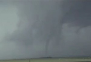
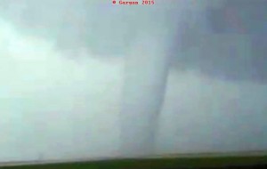
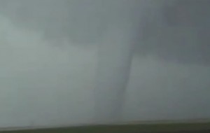
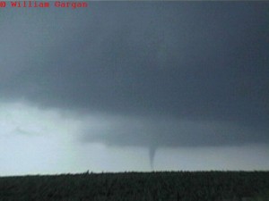
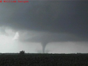
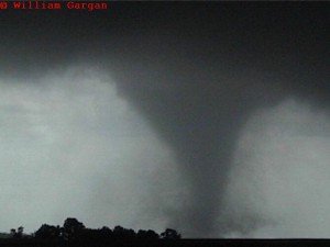
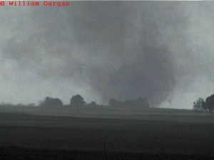
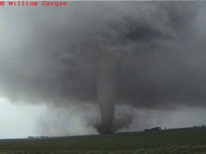
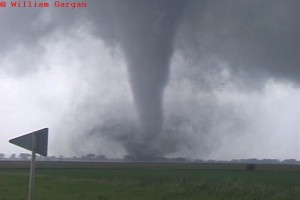
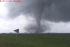
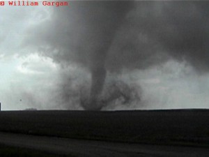
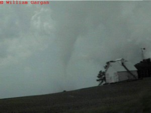
After a very successful chase in southwest NE on June 10, 2004 . I was chasing with my friend David Gold who was leading tour 4 with Alister Chapman. We drove far east to spend the night in York, Nebraska on the night of June 10, arriving at 12:30 am. We were thinking that June 11 would be an early show across northwest IA, so we departed the motel in Lincoln at 9:00 am. On the basis of early morning analyses and model forecasts, we had already determined that northern Iowa/southern Minnesota was the target area. We were still uncertain how far the warm front would move through the late morning and early morning hours but thought that it would be across northwest or north central IA. Our target area was for areas northwest of Storm Lake, IA, thus our lunch stop with the tours would be Storm Lake. We knew the low-level vertical windshear would be maximized along and just north of the surface warm front. Surface convergence would be maximized near the triple point as a dryline/pacific from pushed eastward into extreme western IA from eastern NE. Once we got to Storm Lake, IA we observed deep, vertically sheared towering cumulus clouds to our west and northwest. Our 17Z surface analysis showed increasing moisture flux convergence along the pacific front moving eastward into extreme western IA. Modifying the 12Z OAX SND with deep moisture over west central IA, we computed 3 to 4K of ML CAPE along and south of the warm front. Look like a perfect combination of high CAPE and stronger vertical windshear for significant tornadoes.
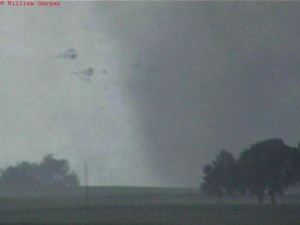
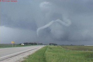
After lunch on our drive northwest of Storm Lake we observed developing CB near Cherokee, IA we intercepted this storm immediately, heading towards Aurelia, IA where we got a visual on the storm’s updraft base. We followed the storm northeastward towards Linn Grove, watching it undergo several small occlusions and even one pronounced weakening phase southwest of Sioux Rapids, IA. The storm intensified 10 miles southwest of Webb. A classic tapered cone tornado materialized the supercell updraft base. The funnel quickly condensed to earth and a classic, perfectly backlit tornado developed. I remember standing on the bumper of my car to watch the tornado move over a rise in the land into the farmlands to our Southwest ( The tornado was about 4 miles to the South-southwst). We sat in one spot for about 5-10 minutes watching the tornado steadily approach, occasionally hitting a farmstead and causing large chunks of debris to lofted around the funnel. As the tornado got closer, we saw Tim Samaras race south down a farm road to deploy his probes. He was heading towards the tornado, as I was begining to shift east out of the tornadoes eventual path across the highway. We repositioned east a couple more times, eventually stopping about 2.5 miles west of Webb, Iowa. We watched this amazing classic tornado cross Hwy 4 about 1 mile west of us and then into the fields to our west-northwest. It was almost serial as the large tornado moved northeast, passing just north of our spot on the road with all sorts of debris flying around and whole trees flying around in the air. Since the ground was wet, we had an unusually clear view of the condensation cone making contact with the ground with only a symmetric debris fan around base of the condensation cone. Most times in the plains you will get a lot of dust being picked up and the tornadoes often become big dust dubbers that can be over a mile wide. We went north on farm roads in front of it to watch the rope out stage and then quickly repositioned east to watch the new mesocyclones and tornadoes. Overall we observed 6 tornadoes, including the tapered cone tornado that occurred South-southeast of Ft. Dodge, IA on tail end Charlie later that evening. Ended the day at a motel in west Des Moine, IA.
Chased alone but caravan with David Gold and SLT Tour 4
Supercells: 2
Tornadoes: 6
Chase route: Click here
Tour Guide for SLT Tour 4, Alister Chapman took the following video of the Webb, IA tornado. Click here to see the video. All copy rights are Alister Chapman.
_______________________________________________________________
June 13:
Left Des Moines, IA for our target along the triple point in south central, NE. Drove through an MCS and thought the outflow would remain stationary. However, the Outflow boundary just kept sinking south. We made it to Salina but a storm looked very high based, so we were worried about going farther south along the dryline. We got on a developing supercell west of Manhattan that looked good but a rapidly developing squall line caught up to our supercell and killed it. Our supercell had a nice rotating wall cloud before the squall line destroyed it. My house had roof damage due to this squall line producing 80 MPH winds in Topeka. We missed out on a nice tornado east-southeast of Wichita.
Chased alone but caravan with David Gold and SLT.
Supercell: 1
Tornadoes: 0
_______________________________________________________________
June 19:
We got on a nice supercell near Kotch, CO and followed it east-southeast to northeast of Lake Sheridan, CO. This storm had nice structure but always battled their outflow due to a weaker vertical windshear profile.
Supercell: 1
Tornadoes: 0
Chased with David Gold and SLT’s Master Class Tour.
_______________________________________________________________
June 20:
We got on a classic supercell east of Colorado Springs, CO but we were too late to see the large tornado. We followed this storm southeast but it became more outlfow dominate. However, it did produce 2 brief tornadoes before it turned totally HP.
Supercell: 1
Tornadoes: 2
Chased with David Gold and SLT’s Master Class Tour.
_______________________________________________________________
June 21:
We got on a supercell 15 miles northwest of AMA. This storm moved do south and produced 2 week tornadoes 11 miles west of AMA. This storm eventually turned into a big HP near sunset.
Supercell: 1
Tornadoes: 2
Chased with David Gold and SLT’s Master Class Tour.
_______________________________________________________________
Supercells: 21
Tornadoes: 12
Bill’s count: 87.

