March 27th:
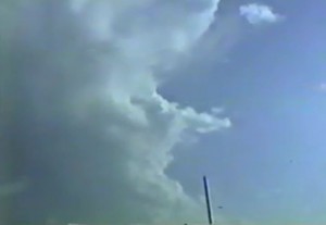
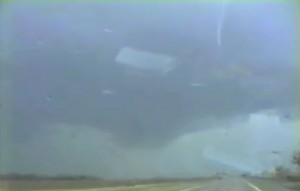
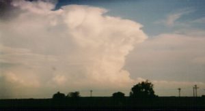
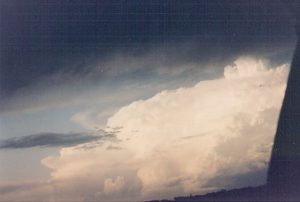
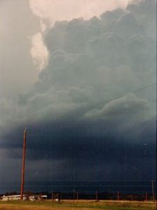
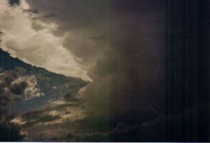
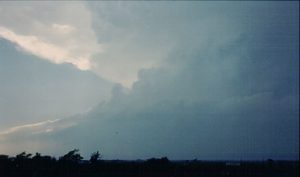
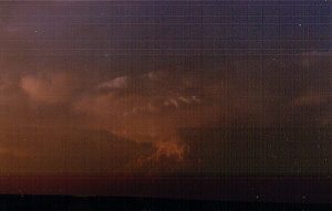
Return flow was too marginal even though the vertical windshear was great! Played dryline north of Abilene. Got on an HP supercell but blew off the more intense supercell southwest of Abilene after sunset.
Chased with: David Gold and Paul Robinson.
Supercell: 1
Tornado: 0
______________________________________________________________
March 29th:
I thought this day would be much better than it turned out to be. Good vertical windshear and instability should have produced some nice supercells and tornadoes along the dryline in north TX. We drove down to Roby, TX and played storms that had good structure but most of these storms seem to be outflow dominate.
Chased with: David Gold and Paul Robinson.
Supercells: 2
Tornado: 0
______________________________________________________________
April 6th:
Was hoping moisture return would be better ahead of dryline across north TX, however the better moisture never it made it north of I-10. All we got to see were turkey towers along the Red River, northeast of SPS.
Chased with: John Finch and Paul Robinson.
Supercells: 0
Tornado: 0
_______________________________________________________________
April 12th:
The soundings showed a mega cap in place. A sharp dryline was moving into central OK with good instability and vertical windshear. We watched an elevated storm go up above the CAP south of Enid and when realized it would never become surface based we ended the chase and west back to Norman.
Chased with: Paul Robinson.
Supercell: 0
Tornado: 0
_______________________________________________________________
April 13th:
The vertical windshear was weak and storms we watched near Throckmorton were HP, eventually a squall line formed and we headed back to I-44 to Norman.
Chased with: Jon Finch and Paul Robinson.
Supercell: 0.
Tornado: 0.
_______________________________________________________________
April 24th:
Got on the road a bit late. Intercepted the Tulsa storm from the west. A big rainy RFD wrapped around the low-level meso. We could not see the tornado that hit northeast of Tulsa. Followed the storm east on Highway 412 to Inola, OK where we ran into gulf ball size hail. While on I-44 we saw the damaged truck stop and a number of school buses that were tossed across I-44. After the storm became totally HP we gave up and went back to Norman.
Chased with: Jon Finch.
Supercell: 1.
Tornado: 0.
_______________________________________________________________
April 30th:
We started off on our way to northwest OK but had 2nd thoughts that the day would be any good. I suppose we did not understand cold core system and landspouts that well. We were thinking only outlfow storms would develop or a squall line would form along the surface front, so we turned back at Watonga and got back to Norman to watch live copter footage of multiple large landspouts near Woodward. Wow, what a bust!
Chased with: David Gold and Paul Robinson.
Supercell: 0
Torando: 0
_______________________________________________________________
May 1st:
A long drive to Sweetwater, TX. We thought the vertical wind shear would be much stronger but mid and upper winds were weak. Also there was a lot of mixing ahead dryline with dewpoints falling into the mid 60s. We got on a few high based supercells but the outflow became too strong and a squall line formed. Left the squall line for the long drive back to Norman.
Chased with: Jon Finch and Paul Robinson.
Supercells: 2
Tornado: 0
_______________________________________________________________
May 6th:
Thought this was a down day being between upper level troughs, but a sharp dryline developed across eastern KS with good deep moisture, instability and good vertical windshear. We left Norman too late since the CAP was too strong across east central and southeast KS. We made it to Emporia but all we could see were distant anvils to toranadic supercells in Nemaha and Brown Counties of northeast KS.
Chased with: Jon Finch and Paul Robinson:
Supercell: 0
Tornado: 0
_______________________________________________________________
May 7th:
I had two exams in the morning and had to finish up a term paper. David was flying up from Houston. We both had no time to look at the forecast. We knew there would be good CAPE and vertical windshear ahead of the dryline in northwest OK. I picked David up at Will Rogers and we drove up to Woodward, OK. On our was up we could see a nice supercell well to our north near Pratt, KS that was producing tornadoes. No way to get to that storm, so we kept going northwest of Woodward. We could see two storms to our west and northwest as we got closer these storms were total HP. Eventually a squall line formed and we headed back to Norman. We found out that there was a nice tornado near Lake Wilson and south along the dryline to Pratt, KS. The Pratt, KS tornado was actually the tail end of the classic supercells.
Chased with: David Gold
Supercells: 2
Tornado: 0
_______________________________________________________________
May 8th:
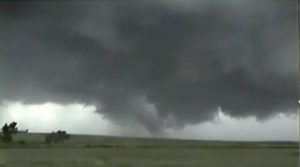
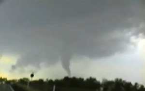
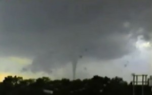
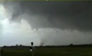
This was a great chase. An upper trough was lifting northeast into the central high plains. The dryline was going to punch east into southwest OK and northwest TX. Our forecast area was southwest of SPS. We watched a storm develop west of SPS, and followed it northeast along the Red River. This storm was bit high based but produced a few weak tornadoes. The storm became better organized across southwest OK and we did get to see 3 tornadoes near Ryan.
Supercell: 1
Tornadoes: 4
Chased with: David Gold and Paul Robinson.
______________________________________________________________
May 9th:
The dryline pushed east into north central TX and an OFB pushed south of the Red River, Tornadic supercells developed north and northeast of Dallas. We left too late for the tornadoes but we did intercept an HP supercell north of Dallas.
_______________________________________________________________
May 22nd:
Chased southwest KS along a dryline. CAPE and vertical windshear was good. Watched a complex of storms develop with the tail end being a supercell about 20 miles southwest of Garden City. Followed the supercell northeast and got very strong inflow (50MPH) 12 miles southwest of Garden City. Got to see a multi vortex tornado right after twilight, with the tornado remaining on the ground for about 10 minutes. Eventually the tail end supercell got rain-wrapped as a squall line formed. Left back home to Norman.
Supercell: 1
tornado: 1
Chased with: My self.
_______________________________________________________________
June 1st:
Moisture return was a bit late but played dryline across nortwest KS. We got on a nice structured storm northeast of Colby and followed it East to north of Hayes.
Supercell: 1
tornado: 1
Chased with: Jon Finch and Paul Robinson.
_______________________________________________________________
June 3rd:
There was a intense trough heading out into the central high plains. Deep moisture was in place and the dryline was moving east into western KS and the eastern TX PNHDL. SPC had issued a high risk for long track violent tornadoes. However an outflow boundary moved southward across southwest KS into northern OK. There was an elevated supercell north of the bounary and the DDC office put out a tornado warning on it. David and I said we were going to blow this storm off but Jon wanted to go after it. After we told him that we were going to stay south of the OFB, Jon freaked out and screamed right into David ears while he was driving. David stopped the car opened the back seat door and told Jon never to do that again or he would have to walk home. Jon said he would rather walk and got out of the car in Slapout, OK. We went north to see the boundary and got on an HP storm that was moving across the front. The CAP was too strong in the warm sector along the dryline. We drove back through Slapout, looking for Jon, but he had already got a hotel room. We headed back to Norman.
Supercell: 1
Tornado: 0
Chased with: David Gold, Paul Robinson and Jon Finch.
_______________________________________________________________
June 5th:
This was the start of a 5 day chase trip. The upper flow was just starting to increase across the plains well ahead of an upper trough that was digging southeast into the southwest US. Moisture return was marginal, however we decided to play northwest KS. We intercepted a high based supercell west-northwest of Goodland. The supercell was LP and looked nice.
Supercell: 1
Tornado: 0
Chased with: David Gold. Sean Lyon and Paul Robinson were tagging along in Paul’s car.
_______________________________________________________________
June 6th:
Left Goodland, KS for the NWS where we stopped to look at data. An upper level trough was lifting out of the four corners region and the shear and CAPE look great ahead of the surface dryline from northwest KS into west central NE. We got on a nice supercell that had nice sturcture near Stockville, NE at sunset. Our storm would never form a tornado. We noticed other supercells to our east and these storms were producing tornadoes. We blasted east on I-80 to catch up with these supercells. David was running out of gas and we finally found a station west of Overton, NE. After filling up, we went after the storm north of Overton. We had nice 50 MPH inflow winds but just missed all the tornadoes on a stationary supercell north of Overton. We drove to GRI to spend the night.
_______________________________________________________________
June 7th:
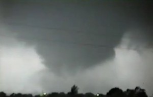
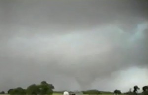
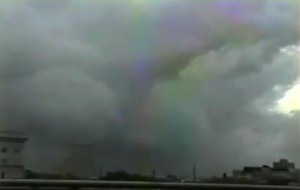
The main upper trough was lifting northeast into north central NE. Strong vertical windshear and high CAPE was forecased across northeast NE/Northwest IA/Eastern NE/SW MN. David picked up an IMAX film maker who drove with up to our target at Yankton, SD. There we met up with Bobby Prentice, and since the IMAX film maker needed both the front and back seat to set up his camera, I was invited to chase with Bobby. We started to see anvils well to our north and knew the CAP was increasing to our southwest, so we blasted north, just west of Sioux Falls. We started to catch up with the storm and heard of a large tornado throwing combines, to make up more speed we got on I-29, north of Sioux Falls, we finally caught up to the storm at Colton, SD where we got to see a large wedge tornado, may be close to 2 miles wide. Before the Plains tornado this year, the Colton wedge was the widest tornado I had seen up to this point chasing. The wedge was moving north at 55 to 60 MPH and we got to watch it rope out west of Coleman, SD. David and the IMAX guy got serparted from us and I drove back with Bobby to spend a night at his home in DMX. Bobby was a GF for the NWS at the time at the DMX office.
Here is a link to Bobby Prentice’s video: Click Here
Chased with: David Gold and Bobby Prentice.
Supercell: 1
Tornado: 1
_______________________________________________________________
June 8th:
The right rear quadrant of the upper jet was moving northast across northern IA. Bobby and I decided to chase. The storms west up early and the storms across north central IA were HP and outflow dominate. By 4 PM we decieded to end the chase since Bobby has to start his first Midnight shift later that evening. David picked me up in DMX early that evening.
Chased with: Bobby Prentice.
Supercell: 1
Tornado: 0
_______________________________________________________________
July 24th:
For being late in the season a good upper trough was lifting northeast across the central Plains. Deep moisture was in place with moderate to high CAPE ahead of the dryline. Drove all around north central KS and finally got on a supercell near Tipton, KS. This storm became an HP beast and we followed it northeast to Beloit. 30 to 40 miles to my east more classic supercells developed and produced tornadoes across the TOP CWA. My only guess is that the moisture mixed out just ahead of the dryline and storms that developed along the western edge of the deep moisture had lower LCL’s, lower bases and stayed as classic supercells.
Supercell: 1
Tornado: 0
Chased with: I think I chased with Steve Weygant along with (Jon Finch?). Steve let me drive his car and remember taking a hairpin turn at 40 MPH was able to control his car through the curve.
_______________________________________________________________
September 18th:
Chased southwest KS this day. I thought the moisture return ahead of a surface dryline would be more robust. We got on a higher based supercell near Plains, KS which became an HP supercell. There were tornadoes on storms just to our west and one to our east. A tough day to try to play multiple supercells.
Supercell: 1
Tornado: 0
Chased with: Paul Robinson and Jon Finch.
_______________________________________________________________
October 8th:
Thought this was going to be marginal day along the dryline across northeast OK. But thought we could see a few supercells. Luckily for us an outflow boundary from overnight convection became stationary across northeast OK and southwest MO. We got on a storm that developed near Miami, OK and moved northeast towards Joplin. Just north of Joplin it produced a nice tornado. The storm slowly moved east-southeast towards I-44, west of Springfield, MO near Reeds, MO. Overall this turned out to be a great chase.
Supercell: 1
Tornadoes: 2
Chased with: Paul Robinson.
_______________________________________________________________
October 15th:
The dry line punched into northeast into SW OK. The CAP strengthen through the afternoon and despite moderate CAPE and vertical wisdshear. All we got to see were turkey towers along the dryline.
Supercell: 0
Tornado: 0
Chased with: Paul Robinson and Jon Finch.
_____________________________________________________________
October 18th:
Played dryline in north TX. Nice upper trough was lifting northeast out of NM. We got on a storm southwest of FTW, that looked like the best storm while a second weaker storm southeast of Dallas. Our storm turned into an HP mess and the storm southeast of Dallas went on to produce a longer track tornado! I remember hearing the reports of a tornado on one of the Dallas radio stations.
Supercell: 1
Tornado: 0
Chased with: Jon Finch and Paul Robinson.
_______________________________________________________________
November 13th:
Chased northeast TX. Nice upper trough and dryline. However, moisture return was a bit marginal. We got on a supercell with a nice rotating wall cloud west of Paris, TX. The storm did not produce before entering the piney woods, so we gave up on it. This same storm went on to produce the Mena, TX.
Supercell: 1
Tornado: 0
Chased with: Jon Finch and Paul Robinson.
____________________________________
Supercells: 24
Tornadoes: 9
Bill’s count 29.

