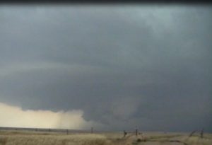
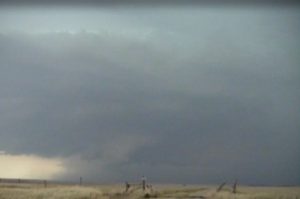
June 7:
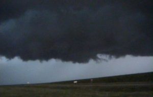
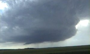
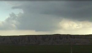
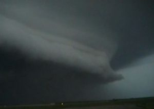
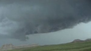
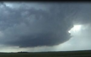
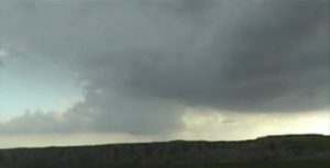
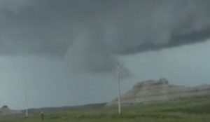
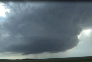
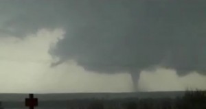
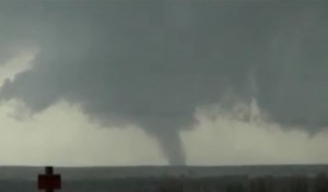
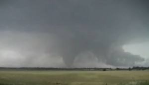
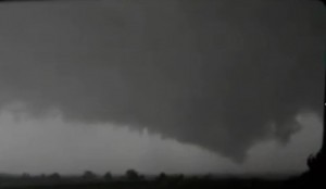
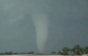
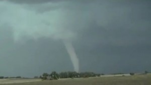
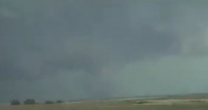
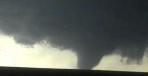
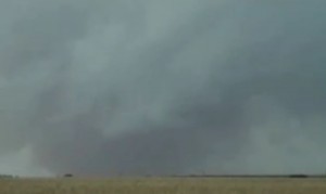
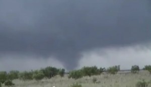
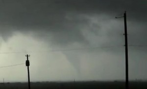
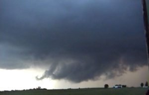
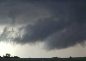
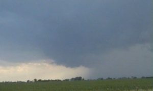
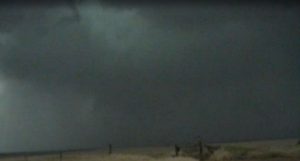
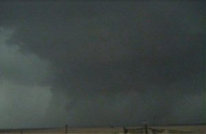
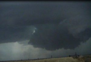
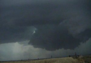
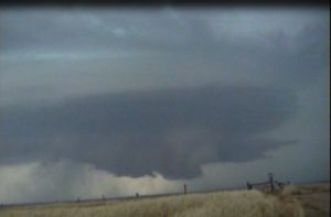
This was the first day of the SLT’s Master Class Tour. We drove to western Jackson County, SD where we saw a nice tornado from a supercell over the Bad Lands. The tornado was 20 miles away and we would have had went through or south of the National Park to get any closer.
Supercell: 1
Tornado: 1
Chased with David Gold and the SLT MC tour.
_______________________________________________________________
June 8:
It was a long drive but we made it to a nice supercell that developed southwest of Oskaloosa, KS. We followed it northeast into Atchison County before it weakened. We saw a couple funnel clouds northeast of Oskaloosa. We then went southwest and played an HP supercell near Topeka.
Supercells: 2
Tornado: 0
Chased with David Gold and the SLT MC tour.
_______________________________________________________________
June 9:
Watched a thunderstorm develop 12 miles southwest of Hoxie, KS. This storm moved east-northeast and developed into a classic supercell. The supercell produced a tornado 8 miles southwest of Hill City, KS. This tornado continued to move east-northeast and passed about 3 miles south of Hill City. The tornado became a large wedge southeast of Hill City and we followed it for 15 minutes before it became rain-wrapped. We left this storm for a new supercell that developed and developed a tornado 5 miles southwest of Oberline. The storm occluded an produced a second simultaneous tornado 5 mile northeast of Oberlin. At one time there was two separate tornadoes on the ground. After this storm weakened we dropped south to I-70, then west west of Wakeeney, KS where we saw two more tornadoes.
Tornadoes: 8
Supercells: 3
Chased with David Gold and SLT’s MC tour.
_______________________________________________________________
June 10:
We forecast that storms would develop east of the dryline in southwest KS. We got on a nice supercell north of Liberal and followed it northeast for a couple hours but it became an HP supercell, so we dropped south of the dryline and got on a storm east of Guymond that was more of a classic supercell. However, after sunset the storm turned into an HP supcersll.
Tornado: 0
Supercells: 2
Chased with David Gold and SLT’s MC tour.
_______________________________________________________________
June 11:
We played east of the dryline along the caprock in the southern TX PNHLD. WE got on a supercell that produced 2 tornadoes near Wayside, TX. The storm became wrapped up in rain when it moved east of the caprock. We eventually left the storm after sunset.
Tornadoes: 2
Supercell: 1
Chased with David Gold and SLT’s MC tour.
_______________________________________________________________
June 12:
Wow, this was great day across the eastern south plains of TX. We got on one nice supercell near Paduhcha, TX but we saw a more intense supercell farther south in Kent County TX. This storm produced several tornadoes as it moved near and east of Jayton. We saw a large wedge tornado in southeast Kent County and tornadoes of other shape and sizes!
Tornadoes: 5
Supercells: 2
Chased with David Gold and SLT’s MC tour.
_______________________________________________________________
June 13:
Chased two supercells in southwest IA along the surface warm front. Both supercells eventually turned into HP supercells.
Supercells: 2
Tornado: 0
Chased with David Gold and SLT’s MC tour.
_______________________________________________________________
June 15:
Chased a nice supercell across west central KS. This supercell produced 2 tornadoes northwest of Trego Center.
Superell: 1
Tornadoes 2.
Chased with David Gold and SLT’s MC tour.
_________________________________
Supercells: 9
Tornadoes: 18
Bill’s count: 105.

