June 7:
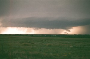
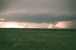
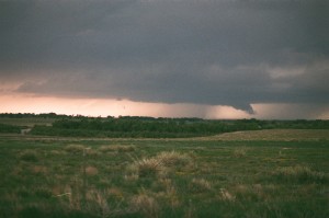
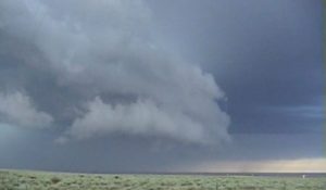
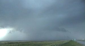
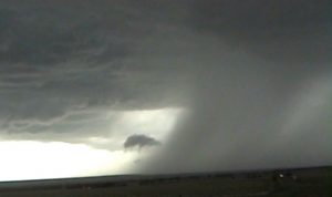
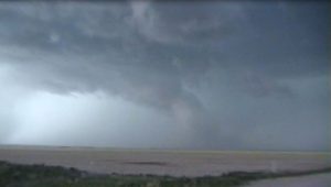
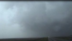
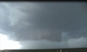
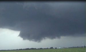
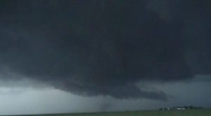
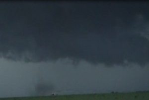
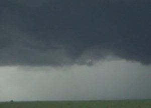
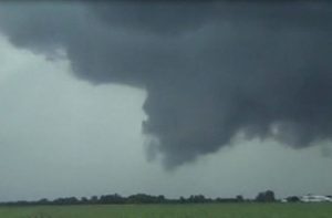
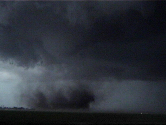
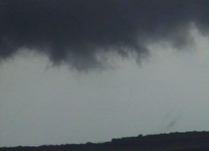
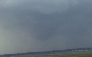
Intercepted a supecell west of Seneca and followed it east into northeast MO. This storm had good structure and a moderately rotating wall cloud.
Supercell: 1
Tornado: 0
Chased alone.
_______________________________________________________________
June 11:
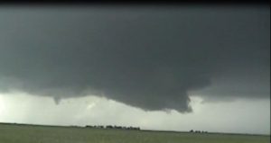
First day of chase vacation. Forecasted possible supercells across southeast CO. It was Nancy Birthday and we drove through Garden City we saw signs to visit the Budweiser Clydesdale at the county fair grounds. These horses were big and we got to see them in their stalls. We then headed west an intercepted two supercells west of La Junta, CO. Each storm had nice wall clouds with low hanging scud at times.
Supercells: 2
Tornado: 0
Chased with Nancy.
_______________________________________________________________
June 12:
We intercepted a high based supercell east of Kiowa. It had some structure but weaken as it moved east into lower elevation.
Supercell: 1
Torando: 0
Chased with Nancy.
_______________________________________________________________
June 13:
Intercepted a nice supercell south of Memphis, TX that split. Both the left and right movers had nice structure. Stayed with the right move but it became outflow dominate. Got on another supercell southwest of Silverton. This storm produce a nice rotating wall cloud with some funnels as it passed just south of town. While parked on the west side of town a random baseball size hail stone fell right on windshield and cracked my windshield.
Supercells: 3
Tornado: 0
Chased with Nancy.
_______________________________________________________________
June 14:
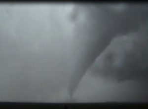
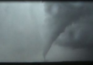
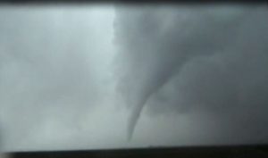
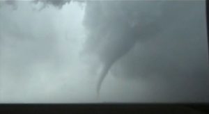
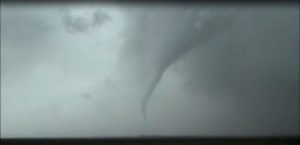
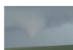
Intercepted a supercell over southwest KS, followed it northeast. It looked kind a bit on the HP side but did produce a nice stovepipe tornado 9 miles east of Hitchcock, KS. The storm trended more towards a big HP as it started to right move to the southeast.
Supercell: 1
Torando: 1
Chased with Nancy.
_______________________________________________________________
June 15:
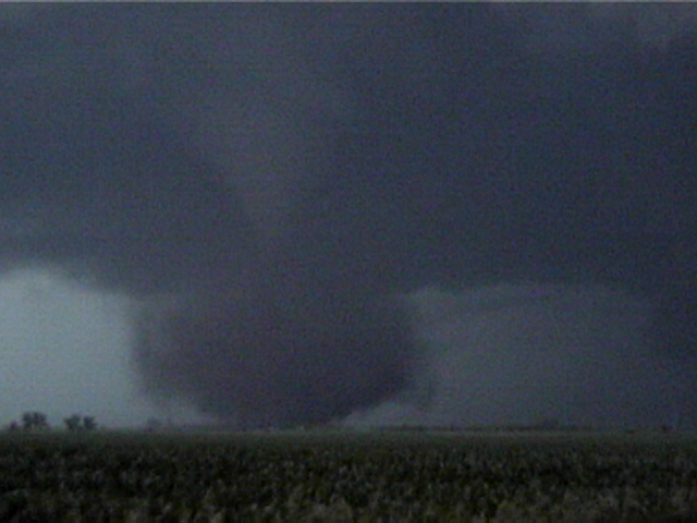
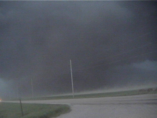
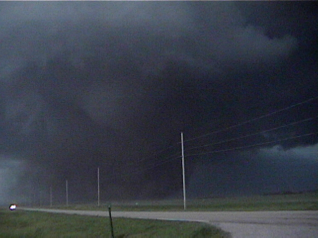
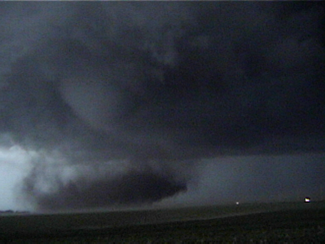
Intercepted a supercell northeast of Dodge City and followed this storm northeast. This storm produced two tornadoes, the first 1 mile south of Belpauree, KS and a 2nd large tornado 1 mile southwest of Macksville. We were a bit far, 5 miles away, due to poor road options and driving through golf ball and baseball size hail. My cracked windshield got a lot more cracks in it during this chase.
Supercell: 1
Tornadoes: 2
Chased with Nancy.
_______________________________________________________________
June 16:
Drove east to Independence, KS waiting for storms to develop along the dryline and outflow boundary. It looked like the cap was too strong and the dryline started to retreat west near sunset. We saw storms going up well to our west and had to blast west to catch a supercell after dark near Arkansas City, KS. This storm had a nice wall cloud but we did not see a tornado.
Supercell: 1
Tornado: 0
Chased with Nancy.
_______________________________________________________________
June 17:
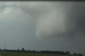
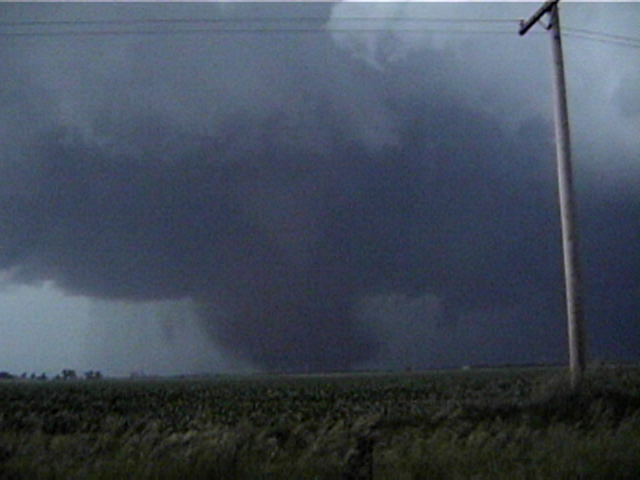
This day had great vertical windshear and high CAPE. I was fairly confident of seeing tornadoes. My target area was north of Kearney, NE. We got out early and had lunch in Kearney, then headed north of town. We saw TCU going up to our northwest, then a storm developed. It quickly turned into a supercell thunderstorm. We followed it east but each wall cloud failed to produce a tornado. Finally we saw a brief tornado near Prairie Center. The tornado looked like stove pipe but dissipated quickly. It took a while for this nice supercell to get its act together again. It kept having nice wall clouds with not visible tornadoes as it move southwest of Grand Island, NE. As the storm passed south of town it produced another brief tornado on the southeast edge of Grand Island. The storm crossed an outflow boundary then went craze just southeast of Grand Island. A nice tornado finally developed and grew in size. We were watching the tornado develop along HWY 2, just south of HWY 34. Then followed this tornado east, until it roped out just west of Aurora.
Supercell: 1
Tornadoes: 3
Chased with Nancy.
_______________________________________________________________
June 19:
We chased north central IA but the CAP was too strong and only weak updrafts were able to go up by sunset. The few storms that developed all weaken. If it was not my chase vacation I probably would not have chased.
Supercell: 0
Tornadoe: 0
Chased with Nancy.
_______________________________________________________________
June 21:
Chased another marginal day in north central IA. The instability was good but vertical windshear was weak. We got to see 3 nice supercells and 2 brief tornadoes.
Supercells: 3
Tornadoes: 2
_______________________________________________________________
Supercells: 14
Tornadoes: 8
Bill’s count: 129.

