May 16, 2013:
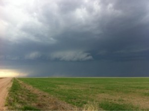
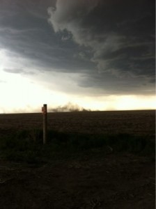
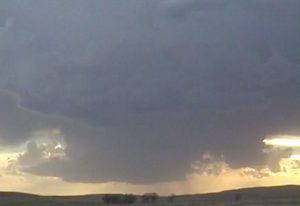
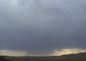
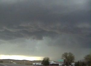
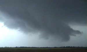
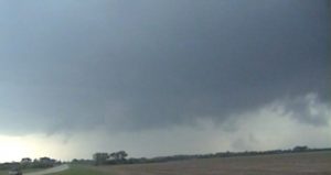
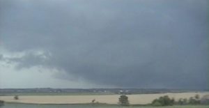
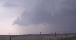
The first day of my chase vacation was quite marginal. Weak vertical wind-shear combined with residual return flow would only produce some high based marginally severe thunderstorms. I targeted northwest KS/southwest NE. We left Topeka at 1050 AM CDT, after getting off my final midnight shift and packing up all our equipment and suitcases. During our drive out we could see TCU northwest of Colby and decided to target the area around Bird City, KS. A storm finally developed and we intercepted the storm north of Bird City, KS. The updraft base was fairly high, as expected with deeper mixing . The storm finally got undercut with outflow we tried playing the tail end of developing squall line. We finally gave up and spend the night in Colby.
Supercell: 1
Tornado: 0
Chased with: Nancy Gargan (Wife).
Chase route: Click here to view map
______________________________________________________________
May 17:
The vertical wind-shear looked stronger but we continue to be lacking true deep gulf moisture. The gulf was finally opening up with lower 70 degree dew points moving across the Red River but they will not make into western NE. Saturday, is finally looking good. We headed for Ogallala, NE to have lunch and pick a target, to head west into the NE panhandle or northwest towards Alliance. I liked the better vertical wind-shear farther north but still expecting high based supercells. On our way northward on U385 we did see a storm develop southwest of Alliance. We intercepted this storm and it was quite high based. We followed it east but the storm looked linear and began to form a squall line. We left these junk storm and headed south for new isolated storms developing northwest of Arthur, NE. The storm was a higher based LP storm but seem to have some mid-level rotation and decent structure. Near sunset it began to weaken so, we headed to our overnight destination in North Platte, NE.
Supercell: 1
Tornado:0
Chased with Nancy.
____________________________________________________________
May 18:
https://maps.google.com/maps/ms?ie=UTF&msa=0&msid=200264547481718946439.0004e0be99e4de7f7da26
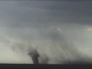
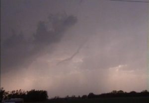
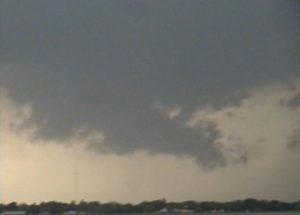
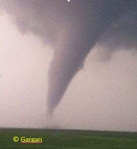
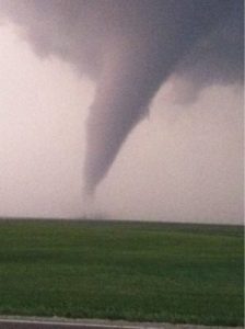
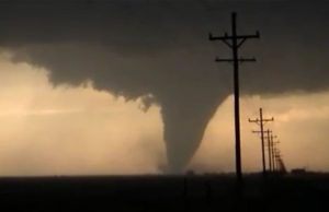
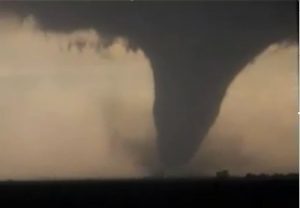
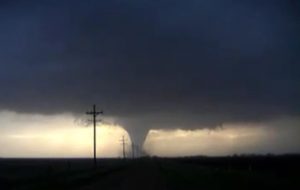
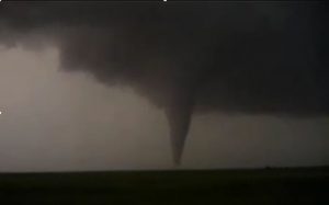
| 1st tornado, 3 SW of Rozel, KS Tornado. |
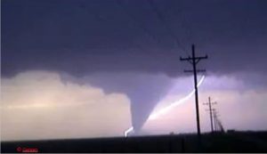
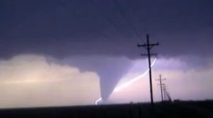
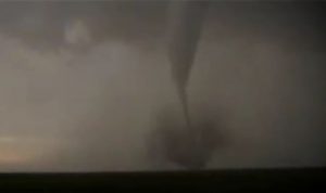
| 1st tornado, 3 SW of Rozel, KS Tornado with background CG |
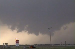
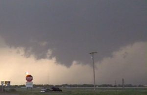
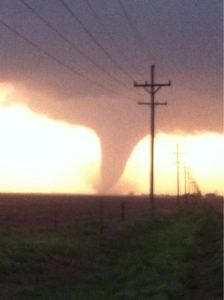
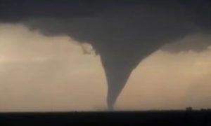
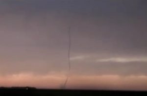
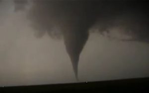
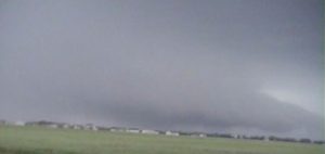
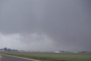
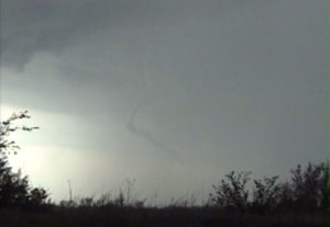
| 2nd tornado, 4.5 miles east of Rozel, KS. |
______________________________________________________________
May 19:
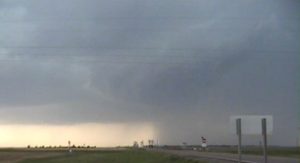
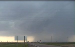
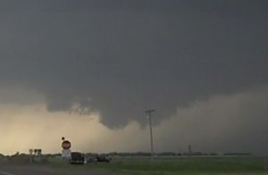
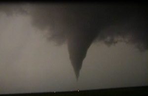
This was a day that I thought north central OK would have much potential for supercells that would spawn significant tornadoes. Me and Nancy left ICT at 2 PM, after a thunderstorm that developed northwest of Conway Springs. We intercepted the thunderstorm on Highway 42 and 139th street. The storm had a rotating wall cloud and it looked as if torandogensis was about to occur. However, a rainy RFD moved south on the west side of the wall cloud. We moved east northeast and did see a brief rope tornado to our south while on 87th street a mile east of Highway 42. The rope tornado quickly got wrapped up in the rain so we headed east of 87th street. A second tornado formed about a half mile to our west while on 79th street, 4 miles east of Highway 42. This tornado once again quickly became rain-wrapped. A larger tornado was on the ground about 4 miles to our northwest, which may have been the main updraft that originally got rainwrapped. This tornado also became rain-wrapped within in a minute. After moving northeast the main updraft we could tell it had gotten wrapped up by a rain and large hail core. A gust front with 70 to 80 MPH winds was also moving northeast to the south of the HP supercell, so I decided to let this storm go. We got on to the KS turnpike and went south to another supercell west of Wellington. We got off on Highway 166 and went east a couple miles to move south once again on a county road. Our view was compleltey blocked by the core and we ended up miss seeing a tornado southwest of Wellington. Once again this storm turned into an HP supercell and formed a QLCS with the HP supercell northeast of ICT. So, I decided to go south to my original forecast area of north central OK. It looked CAP and I was hearing about a storm moving through the northern OKC metro producing tornadoes, so I decided to target this storm. By the time we caught up it, it had weakened and was not even severe, then morphed into an orphan anvil rain showers. The I tried to intercept the Norman-Shawnee tornadic supercell but it turned HP once it got northeast of Shawnee, OK. I decided to call off the chase and head back to ICT.
Supercells: 4.
Tornadoes 3.
Chased with: Nancy Gargan (Wife)
Chase route: Click here to view map.
_______________________________________________________________
May 2o:
On this day the vertical windshear and instability looked favorable for supercell and tornadoes across south central and central OK. Nancy and I drove down to ADM to meet up with David and and one of his friends. I did a surface analysis and kind of wish I was farther north across west central OK where a triple point was located. Surface winds were veered and light ahead of the front across central OK. Winds were backed to the southeast ahead of the dryline north and northeast of Duncan. We decided to play storms that developed in this region. One storm went up first but dissipated. A second storm went up south of Duncan, OK and moved northeast. We targeted this storm. From a distance it look like it had nice structure. As we got closer to the base it had a wall cloud. Meanwhile 40 miles to our north a storm had developed along what would be the true triple point southwest of Moore, OK. As we were gaining on our target storm it produced a weak tornado about 7 miles to our north-northwest to the southwest of Bray, OK. We stopped to take pictures and video then went after our target storm. While driving we listen to live coverage of an OKC radio station of a developing large tornado moving towards Moore. I was wishing I had went farther north to the triple point. We would have made it if we left right after lunch in ADM. By the time we caught up to our storm it was a QLCS with a rain-wrapped mesoscyclone. We tried to play tail end storms as they developed southwest, towards the Red River but they soon turned into HP storms. Finally a tail end storm developed southeast of Wichita and we were able to intercept this storm west of Nocona, TX. The storm had a wall cloud but quickly transition into an HP supercell. We watched this storm as we drove east to Gainsville. Once in Gainsville we had dinner with David and his friend, said good-byes and talked about the tornado we missed out on.
Supercells: 4.
Tornado: 1.
Chased with Nancy. We met up with David Gold.
Chase route, click here.
_______________________________________________________________
May 21:
The surface front has caused a squall line to develop across much of north TX. We headed south-southwest to the tail end of the squall line around Waco, TX. The tail end storm briefly had supercell structures but weakened as it moved east of I-35. We followed it for a while but gave up.
Supercell: 1
Tornado: 0
Chased with Nancy.
_______________________________________________________________
May 23:
We intercepted a high based supercell southeast of Floydada. It seem to have good inflow, even 50 MPH inflow. We saw a lot of gustadoes that a lot of chasers were calling tornadoes. We left this high based storm for a rapidly developing supercell northwest of Jayton and followed this storm southeast to Anson, TX. We stayed right ahead of this supercell but some how missed a nice tornado west of Hanlin, TX. My only guess is that the somewhat rainy RFD may have blocked the view of this tornado.
Supercells: 2
Tornado: 0.
Chased with Nancy.
_______________________________________________________________
May 25:
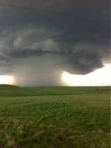
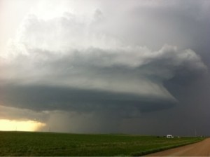
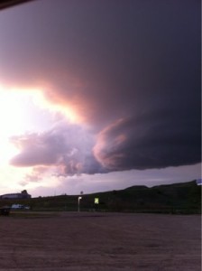
Intercepted a nice supercell on the east side of the Black Hills about 30 miles north of Rapid City. This supercell remained nearly stationary for two hours and nearly produced a tornado. The storm then moved east just north of I-90 and took on some amazing structure. It went from an HP supercell to an LP supercell as it moved east. It finally just shriveled into an orphan anvil after sunset. From a structure stand point this was one of my best storm structure chases ever.
Supercell: 1
Tornado: 0
Chased with Nancy.
_______________________________________________________________
May 26:
Sat east of Alliance waiting for storms to go up on dryline just to our west. However noticed distance CU field developing well east. Thought the best place would be farther east on the west edge of the deepest moisture. We watched a nice storm go up to our east and it quickly evolved into a supercell with a rotating wall cloud. The storm moved northeast to the northwest and north of Brewster, NE. It became an HP supercell, so we went southeast to a nice LP supercell near Ord, NE. It was just after sunset when we got on this storm and it was difficult to get any pictures.
Supercells: 2
Tornado: 0
Chased with Nancy.
_______________________________________________________________
May 27:
Thought this day had more potential given good vertical windshear and CAPE forecast. We got on supercell west of Phillipsburg, KS. It was a bit on the HP side but would always for a new wall cloud on its southeast flank. We followed this storm east and got to see 3 brief tornadoes northwest, north and northeast of Smith Center, KS. We kept on this storm until it turned into a big HP supercell then we left for new storm to our south, north of Ellsworth. This storm chased us southeast through Ellsworth. We saw a nice gustando touch down in field right next to us. This was the last day of our chase vacation!
Supercells: 2
Tornadoes: 3
Chased with Nancy.
________________________________________________
Total tornadoes: 9 Total supercells: 20
Bill’s count 153.

