April 8th:
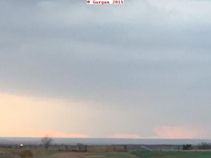
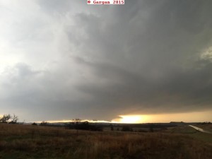
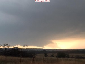
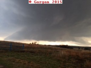
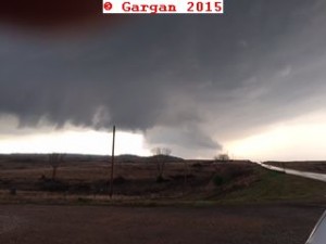
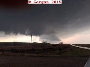
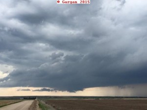
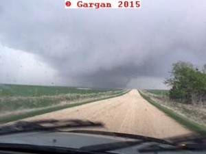
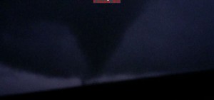
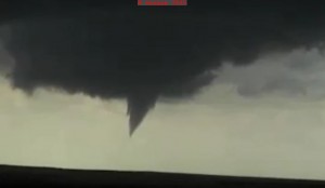
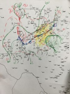
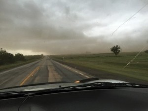
Nancy and I were in Wichita the day before staying with her parents. After looking at forecast data, northwest OK looked to be a good target for supercell thunderstorms. We left at 3 PM. My target was northwest OK. As we drove into northern OK we observed the first storms going up north of Woodward. We decided to target these storms. As we got to Kiowa, KS these storms shriveled into LP updrafts and died! A storm farther west was intensifying in southwest, KS. So we targeted this storm. We took a county road west of Hartner, KS. This road started going back to the southwest, so we sat and watch the storm to our distant west-southwest. We decided to try to get closer by going north towards Medicine Lodge, KS then west. I needed to gas up in Medicine Lodge, then we headed west to intercept the supercell moving our way. As we were driving west of town we began driving through rolling hills. This was blocking our view of the ground under the mesocyclone. Apparently there was a tornado but at the time we could not confirm the tornado was touching the ground. We saw what appeared to be a mass of scud under the meso but apparently this was a large tornado. Since I did not realize it was a tornado at the time I was observing the storm, thus, I will not count this tornado.
Click here for chase route.
Supercell: 1
Tornado: 0
Chased with Nancy.
____________________________________________________________________________
April 24th:
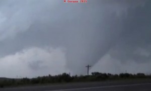
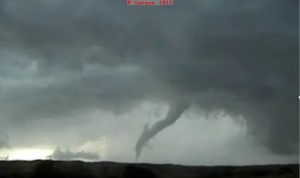
Since I was on Annual Leave from work, where I spent most of the week in Michigan visiting my Mother, Nancy and I decided to chase. I targeted the dryline and warm front/outflow boundary intersection in west central KS. This was on the northwest edge of a southern stream upper level jet. A storm went up just west-southwest of Hayes, KS. We viewed it from northeast of Hayes. The updraft base began to look very good but then the outflow undercut the wall cloud and it became high based. We noticed another lower base on the north side of the outflow dominated RFD, and headed north out of Catherine. A few miles north we noticed the a nice cylinder updraft with a rotating wall cloud. When we were 4.5 miles north of Catherine, we saw a funnel, then it became wrapped in condensation to the surface. This tornado only lasted about 30 seconds, and the funnel had dissipated. The wall cloud was still moving east, just to our north. As we were heading east of Buckeye road a tornado formed just to our west. We were unaware of this tornado. When Buckeye road ended, I turned south and seen a bunch of dust on the ground. I thought it was just outflow from the storm. However, this was the dust that was kicked up by the nice tornado I had missed! The storm became more on an HP supercell and we stayed south, watching the storm’s updraft. We had dinner in Ellsworth and chased a storm that moved north and east of town. A gustnado formed on the east side of Ellsworth. Finally gave up serveral miles east of Ellsworth and headed to Wichita for the Midwest Wine Festival on Saturday evening.
Click here for our chase route.
Supercell: 1
Tornado: 1
Chased with Nancy.
_______________________________________________________________
May 22:
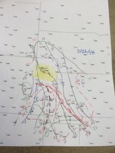
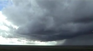
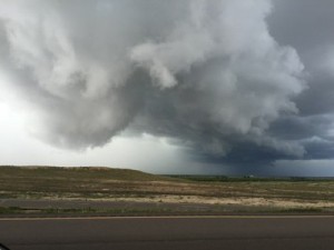
After there was nothing to chase on Thursday, May 21st, we just drove down to visit Nancy’s parents in Wichita. On the 24th we left for my target area near Limon, CO. Upper flow was weak but steep lapse rate and slightly deeper moisture return would cause some storm to form on upslope flow and the Denver Cyclone. drove out to Limon and did see a storm go up several miles to the southwest. The storm got better organized and became a supercell as it moved south of Limon. We even got to see a weakly rotating wall cloud with a brief nub funnel This storm became higher based as it got 10 miles east-southeast of Limon, so we left it for new storm development west of Limon. Finally another storm developed 10 miles west-southwest of Limon. The second storm developed into a supercell as it passed east across the south side of Limon. We followed this storm east which had mid-level rotation and nice structure as we drove east on I-70.
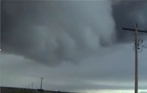
2nd supercell thunderstorm developed west of LIC and moved due east along I-70. It had a nice wall cloud east of LIC
Supercells: 2.
Tornadoes: 0
Chase with Nancy.
Chase route: will be posted later.
_______________________________________________________________
May 23:
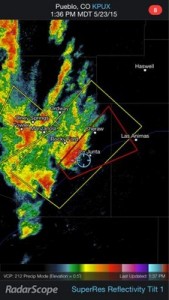
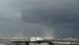
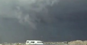
Stayed the night in Rocky Ford, CO. Played upslope east of PUB got on a storm southwest of Los Animus, CO and followed it east of town. This storm looked like a nice classic supercell and had weak suction vortices under the wall cloud. At first I thought these were gustnadoes but then they got drawn up into the center of the updraft, so I had to call it a weak tornado. Another spotter/chaser also reported it as a tornado. We followed this storm northeast as it transformed into a big HP supercell.
Supercell: 1
Tornado: 1
Chased with Nancy.
_______________________________________________________________
May 24:
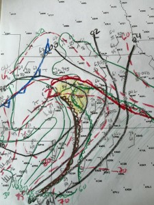
This was a day where I was torn between two targets. Southeast CO look like the vertical windshear would be better but worried instability , even with higher terrain may not be sufficient for tornadic supercells. The central TX PNHDL look as if the instability would be better but the vertical windshear would weaker. Today, I just felt like playing the dryline along I-27 south of AMA.
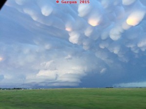
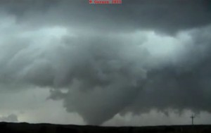
We headed south from Garden City into the central Panhandle. Got down to I-40 and it looked like the moisture ahead of dryline was mixing but intense TCU started going up along the CAP rock enscarpment southwest of Turkey, so we headed southeast on 287 and was about to head south east of Turkey. However, the moisture really started to mix out and the TCU bases were quite high. I looked at the 21Z surface map and saw deeper moisture advecting northwest from northwest OK into central OK PNHDL along the dryline. It was time to make a mad dash back north to the OK PNHDL. Saw anvils from the supercell north of LBL and noticed new cells going up in the central OK PHDL. Also noticed a storm going up in the northern TX PNHDL. We blew this storm off as we raced north into the southern OK PNHLD. Our target storm was really getting its act together as it moved northeast about 10 miles south of LBL. As we got closer the structure became quite stunning and prolific mamatus was pretruding below the anvil and the updraft had the classic barber pull cylinder look with stack plates. The structure was truly jaw dropping and I would not have mind just stopping and watching it and calling it a day! However, under the base we observed a very low hanging wall cloud as we approached LBL. It was getting dark but lightning flashes revealed funnel like shapes hanging down from the base to the northeast of LBL. We go on a highway that took us northeast right up to the base. It looked as if the supercell occluded with the occluded base to our north and a second low-level mesocyclone to our northeast. Decided to play this new Mesocyclone and saw a few more funnels, one of which looked as if there was a brief touchdown as lighting illuminated a debris fan under the funnel. . We stayed just southwest on the meso until our road started to turn more to the east and we could pass just south of the low-level mesocyclone. Then about 5 miles west of Plains I stopped our car and we watched a large funnel touch down as a tornado for about a minute about 1 mile to our north. We headed east to stay ahead of the tornado but it seem to have lifted. However, as looked farther north I saw a large stove pipe on the ground to my north-northwest about 1 mile west of Plains. We followed this new tornado as it moved north-northeast and grew into a 1 to 2 mile wide wedge tornado about 4 miles northwest of Plains. After watching pass to our northeast we tried to get back in front of the tornado but hit a dense fog bank with near zero visibilities. This is when I called the chase off and headed back to ICT to spend the night at the in-laws.
Supercells observed: 3
Tornadoes: 3
Chased with Nancy.
I will post a chase route map in the future.
_______________________________________________________________
May 25:
Today was quite marginal since the vertical windshear was quite weak. We got on a storm northwest of Wichita that had supercell characteristics but as it moved north-northeast it began to weaken. Raced north to get on a tornado warned storm southwest of Salina but this storm weakened. There was a nice supercell in Brown County but it was to far away to catch. We watched junky storms on our way south back to Wichita.
Supercell: 1
Tornado: 0
Chased with Nancy.
_______________________________________________________________
May 26:
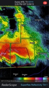
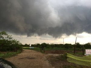
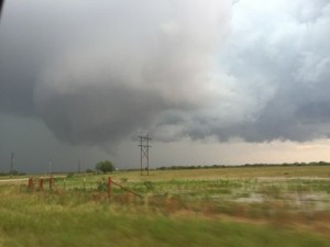
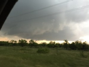
The vertical windshear looked good with moderate instability across north TX. We intercepted a supercell northeast of Breckenridge that had a nice rotating wall cloud. We followed this storm southeast and south. As it moved towards I-20 it turned into a huge HP supercell. We gave up and had dinner in Abilene.
Supercell: 1
Tornado: 0
Chased with Nancy.
_______________________________________________________________
May 27:
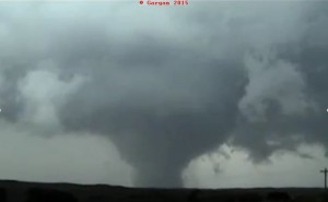
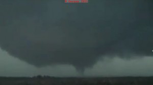
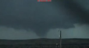
Today looked promising for supercell thunderstorms east of the surface dryline across the northeast Texas Panhandle. I thought the mid and upper flow was kind of weak, so I was expecting classic supercells evolving into HP supercells or a line segment of storms. The MLCAPE was very high, near 5,000 J/KG. We woke up in CDS and my forecast point was near Canadian. We had lunch in Shamrock (this town has really declined over the years) then headed north To Canadian, TX. We sat just south of Canadian watching CU develop along a pre-dryline convergence trough. The CU began to bubble to TCU west and southweseat of Canadian. Finally the TCU west of Canadian developed into a nice CB then a rotating updraft west-northwest of Canadian. This supercell produced a funnel cloud that may have touched down but the ground was so moist that not much dust was visible under the funnel. The supercell propagated slowly east-southeast for the next hour then looked as if it was weakening and becoming higher bases. We headed back to Canadian for a gas stop and rest stop. After leaving the gas station on the north side of town I noticed the storm looked much better just to our northwet, so we headed northwest towards the updraft. Then suddenly a nice compact rotation wall cloud developed and soon a large barrel tornado had formed. I stopped the car and we started taking video. The tornado may have been over a quarter mile wide at times and lasted for nearly 20 minutes before roping out. The storm was slowly drifting south, so we found a pull off at the airport just west of Canadian. There we watch the storm cycle up 4 times producing 4 small tornadoes that only lasted a couple minutes. The storm finally gusted out and we decided to stay in Garden City for the night, so we blasted east and north ahead of the now HP supercell.
Chased with Nancy.
Supercell: 1
Tornadoes: 4
I will post a chase map later.
_______________________________________________________________
June 28:
I was hoping the vertical shear would be strong enough to keep supercells isolated across the south plains of west TX. However, storms went up along the surface front west of Paducah, TX and quickly turned into a sqaull line. We kept ahead of the line but it caught us north of Anthony, TX. We headed west to ABI to spend the night.
Supercell:0
Tornado: 0
Chased with Nancy.
Supercells: 11 Tornadoes: 9
Total tornadoes: 171
Nancy tornadoes: 51

