May 19:
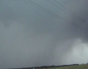
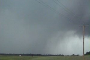
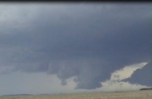
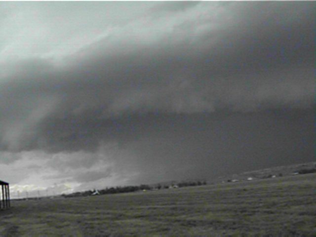
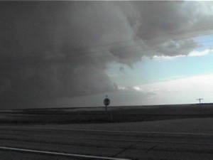
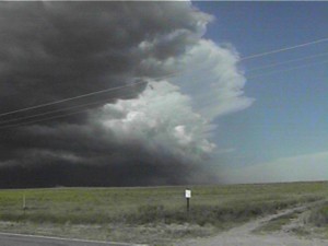
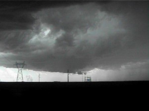
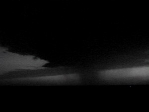
Chased along an outflow boundary across northern OK. I kept heading west until I got on a storm southeast of Seiling, OK. The storm was a bit on the HP side but observed a weak tornado 4 miles west of Eagle City, OK. I followed this storm east on 270 and 3 and ran into hoards of chasers who were blocking roads and driving insane. I went north to get on dirt roads that were not as crowded and stayed ahead of the storm. Again this storm was more on the HP side but I got to see a nice stovepipe tornado 9 miles east-southeast of Loyal. The storm became a big HP storm as it approached I-35, so I blasted south to a supercell that had a report of a tornado south of Pauls Valley, OK. It was dark by the time I got down there and the only thing I was able to see was a wall cloud. This storm looked like it was weakening, so I headed back to Topeka.
Supercell: 2
Tornadoes: 2
Chased alone.
_______________________________________________________________
May 27:
The best area was eastern MT but this was the first day of my chase vacation so we tried to play northeast CO, hoping that a storm would break the CAP. The CAP was too strong and no storms developed.
Supercell:0
Tornado: 0
Chased with Nancy.
_______________________________________________________________
May 28:
We were targeting western ND but my car broke down just south of Bowmen, ND. We had to stay overnight since they had to order a part. We watched TCU go up to our east and then went to dinner at the local steakhouse. It was a very good meal as we watch a distant storm off to the the east near sunset.
Supercell:0
Tornado: 0
Chased with Nancy.
_______________________________________________________________
May 29:
We chased a high based supercells from Valentine, NE south-southwest to Thedford, NE. These storm were all on the LP side and did not have much of a chance producing a tornado.
Supercells: 3
Tornado: 0
Chased with Nancy.
_______________________________________________________________
May 31:
Missed out on a nice supercell that produced great tornadoes across southeast CO because I thought it was too marginal and it was memorial day.
_______________________________________________________________
June 1:
Intercepted a supercell northeast of St. Frances, KS and followed it east-southeast to east of Bird City, KS. We got to see a nice gustnado along the outflow boundary.
Supercell: 1
Tornado: 0
Chased with Nancy.
_______________________________________________________________
June 3:
Chased a HP supercell northwest of Spencer, NE. The storm passed north of town and we saw a nice wall cloud 4 miles est-southeast of Spencer, NE. It came close producing a tornado but got wrapped up in rain.
Supercell: 1
Tornado: 0
Chased with Nancy.
_______________________________________________________________
June 4:
Chased southern NE under a big CAP. We got on an LP storm west of Beloit, KS that lasted for about an hour but it shriveled and died.
Supercell: 1
Tornado: 0
Chased with Nancy.
_______________________________________________________________
June 6:
Dropped off Nancy for her wine tasting. I intercepted a nice supercell south of Imperial, NE that right moved southward This storm nearly produced a tornado with 60 KT inflow winds. VORTEX 2 was all over this storm.
Supercell: 1
Torando: 0
Chased alone.
_______________________________________________________________
June 7:
This day had good instability and vertical windshear across far western NE. Got on a nice supercell west of Torrington, WY but this storm turned into a big HP supercell. Followed it east-southeast into Scotts Bluff, NE. From my vantage point the tornado was rain-wrapped, so I went after a new storm exploding to the south but this storm was high based so I went back after the storm northeast of Scottsbluff, NE . I thought I saw a distant tornado west of Alliance, NE but it was so far away I really could not confirm it.
Supercells: 2
Tornado: 0
Chased alone.
_______________________________________________________________
June 19:
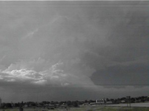
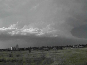
We got on an HP storm near Randall, KS as we punched the core we got see a huge rotating wall cloud. The wall cloud never produced a tornado. We dropped south and were just east of Beloit. We decided to follow our storm east to Concordia but we almost went west to a new storm west of Beloit. The HP storm move north of Concordia and had a funky wall cloud out ahead of the precip filled RFD. There was some slow rotation in this wall cloud but it got undercut as it moved into Clay County. We found out the storm west of Beloit produced a tornado.
Supercells: 2
Tornado: 0
Chased with Dennis Cavanaugh.
_______________________________________________________________
June 20:
We got on a big HP storm south of Hoxie, KS this turned into a squall line with 80 KT winds. We tried to get on an isolated supercell in Jewell County but could not get far enough of the squall line.
Supercell: 1
Torando: 0
Chased with Dennis Cavanaugh.
_______________________________________________________________
June 21:
Chased a nice HP storm that developed northeast of Denver and followed it east, Got in golf ball size hail in Yuma from an LP that was northeast of our target storm. We drove through the HP storm on Highway 59. Later we intercepted a supercell at sunset northwest of Kanarado, KS and then got on a second supercell just northwest of Goodland, KS after sunset.
Supercells: 4
Tornado: 0
Chased with Dennis Cavanaugh.
_______________________________________________________________
June 22:
Got on a nice supercell northeast of Cheyenne, WY but poor road options forced us to head south to I-80. We could not make it to our north option at Kimball, NE before the storm passed east. It looked great with nice structure and had a big lowering. We heard there was tornado 10 miles north of Kimball. We followed this storm east but it turned into a big HP supercell. We dropped south and got on a nice LP supercell west of Beaver City, NE.
Supercell: 1
Torando: 0
Chased with Dennis Cavanaugh.
_______________________________________________________________
Supercells: 19
Tornadoes: 2
Bill’s count 131.

